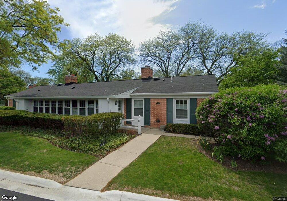
21 Calvin Cir Evanston, IL 60201
North Evanston NeighborhoodEstimated Value: $276,000 - $629,000
2
Beds
1
Bath
1,039
Sq Ft
$372/Sq Ft
Est. Value
About This Home
This home is located at 21 Calvin Cir, Evanston, IL 60201 and is currently estimated at $386,248, approximately $371 per square foot. 21 Calvin Cir is a home located in Cook County with nearby schools including Willard Elementary School, Haven Middle School, and Evanston Township High School.
Create a Home Valuation Report for This Property
The Home Valuation Report is an in-depth analysis detailing your home's value as well as a comparison with similar homes in the area
Home Values in the Area
Average Home Value in this Area
Tax History
| Year | Tax Paid | Tax Assessment Tax Assessment Total Assessment is a certain percentage of the fair market value that is determined by local assessors to be the total taxable value of land and additions on the property. | Land | Improvement |
|---|---|---|---|---|
| 2025 | $3,386 | $37,475 | $10,350 | $27,125 |
| 2024 | $3,386 | $19,955 | $3,002 | $16,953 |
| 2023 | $4,737 | $19,955 | $3,002 | $16,953 |
| 2022 | $4,737 | $26,549 | $3,002 | $23,547 |
| 2021 | $2,552 | $15,610 | $11,385 | $4,225 |
| 2020 | $4,087 | $15,610 | $11,385 | $4,225 |
| 2019 | $4,011 | $17,117 | $11,385 | $5,732 |
| 2018 | $2,963 | $16,998 | $9,315 | $7,683 |
| 2017 | $2,914 | $16,998 | $9,315 | $7,683 |
| 2016 | $4,302 | $16,998 | $9,315 | $7,683 |
| 2015 | $2,111 | $12,370 | $7,762 | $4,608 |
| 2014 | $2,116 | $12,370 | $7,762 | $4,608 |
| 2013 | $2,040 | $12,370 | $7,762 | $4,608 |
Source: Public Records
Map
Nearby Homes
- 2337 Ridgeway Ave
- 2955 Colfax St
- 2951 Colfax St
- 2439 Cowper Ave
- 3310 Hayes St
- 2921 Simpson St
- 3701 Foster St
- 9532 Springfield Ave
- 2523 Hastings Ave
- 9435 Central Park Ave
- 3131 Central St
- 9433 Lincolnwood Dr
- 3233 Central St
- 3314 Central St Unit A
- 9337 Lincolnwood Dr
- 2717 Harrison St
- 2726 Central St Unit 3D
- 2726 Central St Unit 2D
- 9301 Drake Ave
- 3609 Central St
Your Personal Tour Guide
Ask me questions while you tour the home.