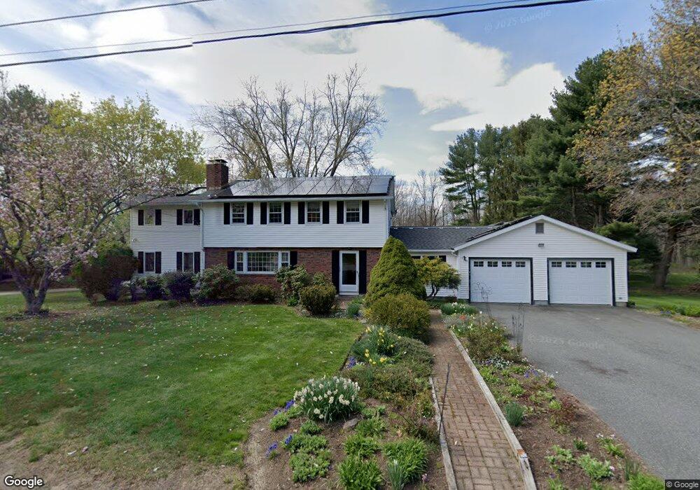
21 Cameron Rd Wayland, MA 01778
Estimated Value: $1,280,000 - $1,435,000
4
Beds
3
Baths
2,552
Sq Ft
$520/Sq Ft
Est. Value
About This Home
This home is located at 21 Cameron Rd, Wayland, MA 01778 and is currently estimated at $1,325,771, approximately $519 per square foot. 21 Cameron Rd is a home located in Middlesex County with nearby schools including Wayland High School and Veritas Christian Academy.
Ownership History
Date
Name
Owned For
Owner Type
Purchase Details
Closed on
Mar 23, 2022
Sold by
Pierce Kelly S and Pierce James E
Bought by
Kelly S Pierce Lt
Current Estimated Value
Purchase Details
Closed on
Nov 26, 1997
Sold by
Carrubba Eugene R and Carrubba Nancy I
Bought by
Pierce James E and Pierce Kelly S
Create a Home Valuation Report for This Property
The Home Valuation Report is an in-depth analysis detailing your home's value as well as a comparison with similar homes in the area
Home Values in the Area
Average Home Value in this Area
Purchase History
| Date | Buyer | Sale Price | Title Company |
|---|---|---|---|
| Kelly S Pierce Lt | -- | None Available | |
| Pierce James E | $449,500 | -- |
Source: Public Records
Mortgage History
| Date | Status | Borrower | Loan Amount |
|---|---|---|---|
| Previous Owner | Pierce James E | $213,000 | |
| Previous Owner | Pierce James E | $150,000 |
Source: Public Records
Tax History Compared to Growth
Tax History
| Year | Tax Paid | Tax Assessment Tax Assessment Total Assessment is a certain percentage of the fair market value that is determined by local assessors to be the total taxable value of land and additions on the property. | Land | Improvement |
|---|---|---|---|---|
| 2025 | $18,628 | $1,191,800 | $614,900 | $576,900 |
| 2024 | $17,527 | $1,129,300 | $585,700 | $543,600 |
| 2023 | $16,492 | $990,500 | $532,400 | $458,100 |
| 2022 | $15,920 | $867,600 | $440,800 | $426,800 |
| 2021 | $15,325 | $827,500 | $400,700 | $426,800 |
| 2020 | $14,696 | $827,500 | $400,700 | $426,800 |
| 2019 | $14,077 | $770,100 | $381,700 | $388,400 |
| 2018 | $13,234 | $734,000 | $381,700 | $352,300 |
| 2017 | $12,908 | $711,600 | $370,300 | $341,300 |
| 2016 | $11,975 | $690,600 | $363,000 | $327,600 |
| 2015 | $12,244 | $665,800 | $363,000 | $302,800 |
Source: Public Records
Map
Nearby Homes
- 353 Old Connecticut Path
- 208 Cochituate Rd
- 22 Lakeshore Dr
- 96 Lakeshore Dr
- 96 Lake Shore Dr
- 7 Shaw Dr
- 260 Cochituate Rd
- 262 Cochituate Rd
- 108 Dudley Rd
- 123 Dudley Rd
- 26 Dudley Rd
- 15 Crest Rd
- 454 Old Connecticut Path
- 233 Lakeshore Dr
- 3 Keith Rd
- 17 Hastings Way Unit 17
- 125 Woodridge Rd
- 186 Main St Unit 2
- 186 Main St
- 29 Derby St