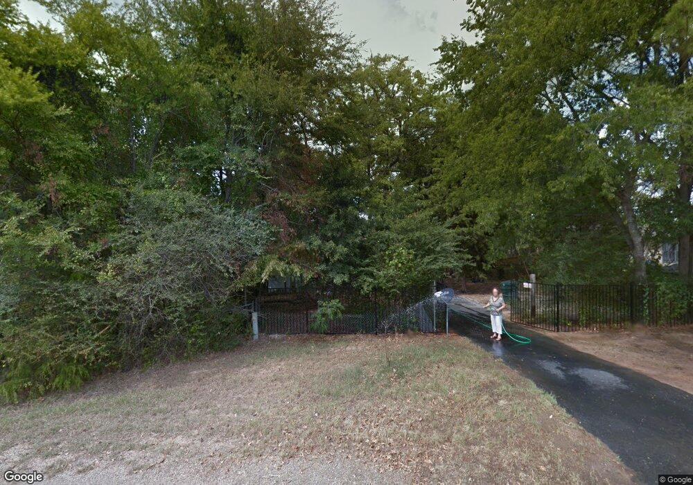
21 Carson Rd Mabank, TX 75156
Estimated Value: $380,000 - $1,386,000
Studio
1
Bath
1,344
Sq Ft
$536/Sq Ft
Est. Value
About This Home
This home is located at 21 Carson Rd, Mabank, TX 75156 and is currently estimated at $720,562, approximately $536 per square foot. 21 Carson Rd is a home located in Henderson County with nearby schools including Eustace Primary School, Eustace Intermediate School, and Eustace Middle School.
Ownership History
Date
Name
Owned For
Owner Type
Purchase Details
Closed on
Dec 13, 2021
Sold by
Wilson Walter
Bought by
Vasquez Samuel and Vasquez Rosemarie
Current Estimated Value
Home Financials for this Owner
Home Financials are based on the most recent Mortgage that was taken out on this home.
Original Mortgage
$65,000
Outstanding Balance
$50,829
Interest Rate
2.35%
Mortgage Type
New Conventional
Estimated Equity
$669,733
Purchase Details
Closed on
Oct 5, 2019
Sold by
Wilson Walter Glen
Bought by
Vasquez Samuel and Vasquez Rosemarie
Purchase Details
Closed on
Jun 1, 2016
Sold by
Rudel Robyn Dale Woodward and Woodard Rodie Carl
Bought by
Price Don and Price Roxie
Purchase Details
Closed on
Jan 1, 2009
Sold by
Wilson Walter G
Bought by
Vasquez Samuel and Vasquez Rosemarie
Purchase Details
Closed on
Sep 23, 1999
Sold by
Long Sherman
Bought by
Vasquez Samuel and Vasquez Rosemarie
Create a Home Valuation Report for This Property
The Home Valuation Report is an in-depth analysis detailing your home's value as well as a comparison with similar homes in the area
Home Values in the Area
Average Home Value in this Area
Purchase History
| Date | Buyer | Sale Price | Title Company |
|---|---|---|---|
| Vasquez Samuel | -- | None Available | |
| Vasquez Samuel | -- | None Available | |
| Price Don | -- | East Texas Title Company | |
| Vasquez Samuel | -- | -- | |
| Vasquez Samuel | -- | -- |
Source: Public Records
Mortgage History
| Date | Status | Borrower | Loan Amount |
|---|---|---|---|
| Open | Vasquez Samuel | $65,000 |
Source: Public Records
Tax History
| Year | Tax Paid | Tax Assessment Tax Assessment Total Assessment is a certain percentage of the fair market value that is determined by local assessors to be the total taxable value of land and additions on the property. | Land | Improvement |
|---|---|---|---|---|
| 2025 | -- | $586,971 | $401,220 | $185,751 |
| 2024 | -- | $574,673 | $401,220 | $173,453 |
| 2023 | $8,204 | $555,942 | $401,220 | $154,722 |
| 2022 | $0 | $524,580 | $401,220 | $123,360 |
| 2021 | $5,039 | $248,470 | $147,110 | $101,360 |
| 2020 | $0 | $245,690 | $147,110 | $98,580 |
| 2019 | $4,032 | $216,930 | $147,110 | $69,820 |
| 2018 | $4,045 | $215,910 | $147,110 | $68,800 |
| 2017 | $4,020 | $214,560 | $147,110 | $67,450 |
| 2016 | $4,020 | $214,560 | $147,110 | $67,450 |
| 2015 | $1,038 | $214,560 | $147,110 | $67,450 |
| 2014 | $1,038 | $214,550 | $147,110 | $67,440 |
Source: Public Records
Map
Nearby Homes
- 25 Carson Rd
- 107 Chicota St
- 178 Indian Gap Dr
- 7110 Apache Cir
- 102 Navarro Dr
- 129 Little River Bend
- 150 Red Bluff Loop
- 160 Indian Gap Rd
- 129 Indian Gap Rd
- 170 Kanawka St
- 136 Buffalo Springs Rd
- 102 Buffalo Springs Rd
- 148 Buffalo Springs Rd
- 150 Buffalo Springs Rd
- 220 Bowie St
- 127 Bowie St
- 154 Red Water Rd
- 120 Running Deer Rd
- 117 Running Deer Rd
- 133 Pocahontas St
Your Personal Tour Guide
Ask me questions while you tour the home.
