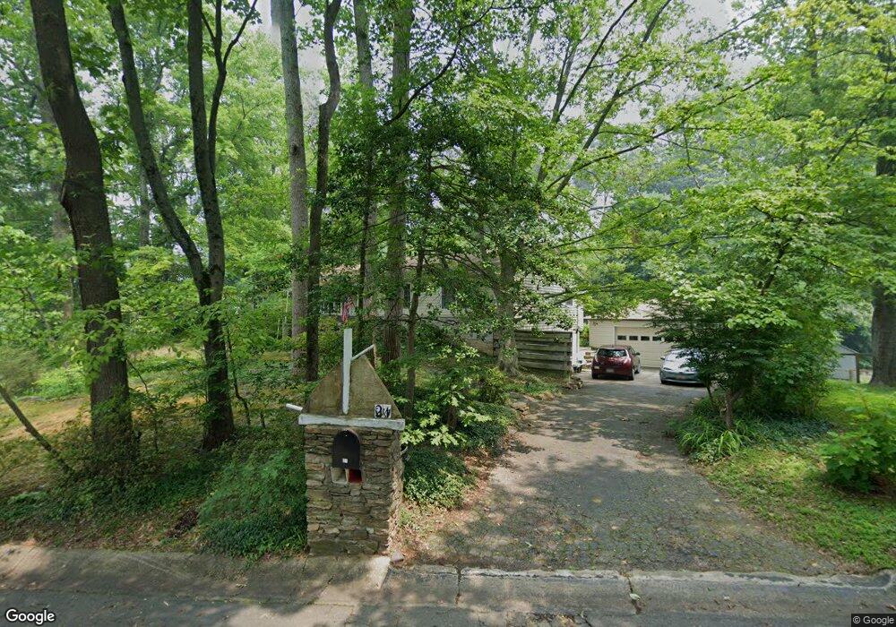
21 Cascade Rd Arnold, MD 21012
Estimated Value: $492,647 - $691,000
Studio
2
Baths
1,459
Sq Ft
$412/Sq Ft
Est. Value
About This Home
This home is located at 21 Cascade Rd, Arnold, MD 21012 and is currently estimated at $601,662, approximately $412 per square foot. 21 Cascade Rd is a home located in Anne Arundel County with nearby schools including Arnold Elementary School, Severn River Middle School, and Broadneck High School.
Ownership History
Date
Name
Owned For
Owner Type
Purchase Details
Closed on
Oct 26, 2011
Sold by
Freeman Eleanor S
Bought by
Freeman Eleanor S
Current Estimated Value
Purchase Details
Closed on
Oct 14, 2011
Sold by
Freeman Eleanor S
Bought by
Freeman Eleanor S
Purchase Details
Closed on
Nov 27, 1991
Sold by
Hannum David G
Bought by
Freeman Eleanor S
Home Financials for this Owner
Home Financials are based on the most recent Mortgage that was taken out on this home.
Original Mortgage
$132,000
Interest Rate
8.63%
Create a Home Valuation Report for This Property
The Home Valuation Report is an in-depth analysis detailing your home's value as well as a comparison with similar homes in the area
Home Values in the Area
Average Home Value in this Area
Purchase History
| Date | Buyer | Sale Price | Title Company |
|---|---|---|---|
| Freeman Eleanor S | -- | -- | |
| Freeman Eleanor S | -- | -- | |
| Freeman Eleanor S | $165,000 | -- |
Source: Public Records
Mortgage History
| Date | Status | Borrower | Loan Amount |
|---|---|---|---|
| Previous Owner | Freeman Eleanor S | $132,000 |
Source: Public Records
Tax History
| Year | Tax Paid | Tax Assessment Tax Assessment Total Assessment is a certain percentage of the fair market value that is determined by local assessors to be the total taxable value of land and additions on the property. | Land | Improvement |
|---|---|---|---|---|
| 2025 | $4,037 | $432,400 | -- | -- |
| 2024 | $4,037 | $406,700 | $267,600 | $139,100 |
| 2023 | $3,800 | $397,367 | $0 | $0 |
| 2022 | $3,599 | $388,033 | $0 | $0 |
| 2020 | $3,264 | $367,300 | $0 | $0 |
| 2019 | $5,320 | $355,900 | $0 | $0 |
| 2018 | $3,493 | $344,500 | $208,200 | $136,300 |
| 2017 | $3,054 | $342,400 | $0 | $0 |
| 2016 | -- | $340,300 | $0 | $0 |
| 2015 | -- | $338,200 | $0 | $0 |
| 2014 | -- | $338,200 | $0 | $0 |
Source: Public Records
Map
Nearby Homes
- 1465 Ridgeway
- 1635 N Winchester Rd
- 165 Severn Way
- 1420 Mariner Dr
- 1419 Mariner Dr
- 208 Admirals Ct
- 1396 Baltimore Annapolis Blvd
- 1420 Gilbert Rd
- 1394 Baltimore Annapolis Blvd
- 125 S Winchester Rd
- 1350 Ritchie Hwy
- 1707 Ritchie Hwy
- 1294 Circle Dr
- 136 Collington Ct
- 0 Shot Town Rd Unit MDAA2113200
- 606 Dreams Landing Way
- 1525 Hickory Wood Dr
- 1800 River Watch Ln
- 371 Freshfield Ln
- 1838 Lindamoor Dr
- 23 Cascade Rd
- 1478 Grandview Rd
- 20 Cascade Rd
- 1479 Grandview Rd
- 1477 Grandview Rd
- 25 Cascade Rd
- 1480 Grandview Rd
- 1481 Grandview Rd
- 1475 Grandview Rd
- 1483 Grandview Rd
- 24 Cascade Rd
- 1470 Grandview Rd
- 1473 Grandview Rd
- 22 Pocono Dr
- 20 Pocono Dr
- 24 Pocono Dr
- 1471 Grandview Rd
- 7 Ashcroft Ct
- 28 Cascade Rd
- 29 Cascade Rd
Your Personal Tour Guide
Ask me questions while you tour the home.