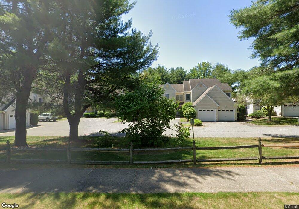
21 Castlegate Dr Springfield, MA 01129
Sixteen Acres NeighborhoodEstimated Value: $241,849 - $254,000
2
Beds
2
Baths
99,999
Sq Ft
$2/Sq Ft
Est. Value
About This Home
This home is located at 21 Castlegate Dr, Springfield, MA 01129 and is currently estimated at $245,712, approximately $2 per square foot. 21 Castlegate Dr is a home located in Hampden County with nearby schools including Warner, M Marcus Kiley Middle, and Springfield Central High School.
Ownership History
Date
Name
Owned For
Owner Type
Purchase Details
Closed on
Dec 7, 2007
Sold by
Martinelli Peter J
Bought by
Martinelli Lynn and Martinelli Peter J
Current Estimated Value
Purchase Details
Closed on
Jun 13, 2001
Sold by
Daubney Mark J and Burns Deborah J
Bought by
Martinelli Peter J
Home Financials for this Owner
Home Financials are based on the most recent Mortgage that was taken out on this home.
Original Mortgage
$81,350
Interest Rate
7.15%
Mortgage Type
VA
Purchase Details
Closed on
May 17, 1988
Sold by
Fernbank Assoc
Bought by
Daubney Mark J
Home Financials for this Owner
Home Financials are based on the most recent Mortgage that was taken out on this home.
Original Mortgage
$95,800
Interest Rate
10.02%
Mortgage Type
Purchase Money Mortgage
Create a Home Valuation Report for This Property
The Home Valuation Report is an in-depth analysis detailing your home's value as well as a comparison with similar homes in the area
Home Values in the Area
Average Home Value in this Area
Purchase History
| Date | Buyer | Sale Price | Title Company |
|---|---|---|---|
| Martinelli Lynn | -- | -- | |
| Martinelli Peter J | $79,000 | -- | |
| Daubney Mark J | $106,474 | -- |
Source: Public Records
Mortgage History
| Date | Status | Borrower | Loan Amount |
|---|---|---|---|
| Open | Daubney Mark J | $110,000 | |
| Previous Owner | Daubney Mark J | $81,350 | |
| Previous Owner | Daubney Mark J | $95,800 |
Source: Public Records
Tax History
| Year | Tax Paid | Tax Assessment Tax Assessment Total Assessment is a certain percentage of the fair market value that is determined by local assessors to be the total taxable value of land and additions on the property. | Land | Improvement |
|---|---|---|---|---|
| 2025 | $3,263 | $208,100 | $0 | $208,100 |
| 2024 | $3,133 | $195,100 | $0 | $195,100 |
| 2023 | $3,229 | $189,400 | $0 | $189,400 |
| 2022 | $2,970 | $157,800 | $0 | $157,800 |
| 2021 | $2,860 | $151,300 | $0 | $151,300 |
| 2020 | $2,597 | $133,000 | $0 | $133,000 |
| 2019 | $2,328 | $118,300 | $0 | $118,300 |
| 2018 | $2,275 | $115,600 | $0 | $115,600 |
| 2017 | $2,220 | $112,900 | $0 | $112,900 |
| 2016 | $2,220 | $112,900 | $0 | $112,900 |
| 2015 | $2,059 | $104,700 | $0 | $104,700 |
Source: Public Records
Map
Nearby Homes
- 75 Castlegate Dr Unit B
- 75 Castlegate Dr Unit A
- 5 Castlegate Dr Unit B
- 5 Castlegate Dr Unit A
- 7 Castlegate Dr
- 9 Castlegate Dr
- 11 Castlegate Dr Unit B
- 11 Castlegate Dr Unit A
- 15 Castlegate Dr Unit B
- 17 Castlegate Dr
- 19 Castlegate Dr
- 23 Castlegate Dr
- 25 Castlegate Dr Unit B
- 25 Castlegate Dr Unit A
- 29 Castlegate Dr
- 31 Castlegate Dr
- 61 Castlegate Dr
- 63 Castlegate Dr
- 65 Castlegate Dr Unit B
- 65 Castlegate Dr Unit A
Your Personal Tour Guide
Ask me questions while you tour the home.