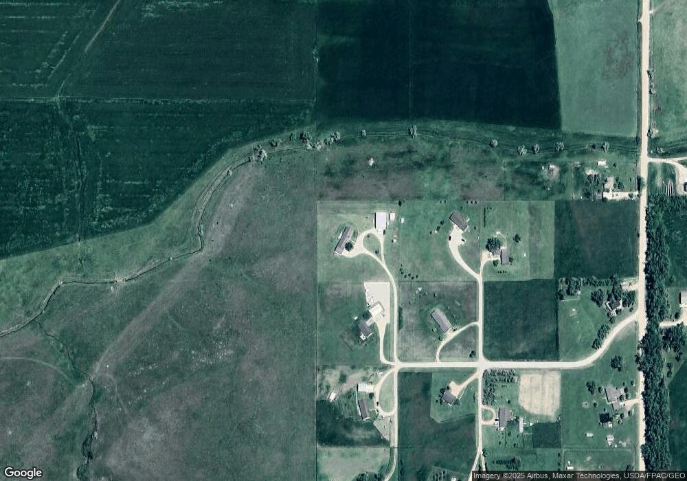
21 Center Rd Sheridan, WY 82801
Estimated Value: $629,000 - $641,000
--
Bed
3
Baths
2,052
Sq Ft
$310/Sq Ft
Est. Value
About This Home
This home is located at 21 Center Rd, Sheridan, WY 82801 and is currently estimated at $636,217, approximately $310 per square foot. 21 Center Rd is a home.
Ownership History
Date
Name
Owned For
Owner Type
Purchase Details
Closed on
Nov 14, 2011
Sold by
Bolen Catherine R and Lungren Catherine R
Bought by
Anthony Thomas E and Anthony Tammy J
Current Estimated Value
Home Financials for this Owner
Home Financials are based on the most recent Mortgage that was taken out on this home.
Original Mortgage
$268,000
Outstanding Balance
$183,718
Interest Rate
4.13%
Mortgage Type
New Conventional
Estimated Equity
$452,499
Create a Home Valuation Report for This Property
The Home Valuation Report is an in-depth analysis detailing your home's value as well as a comparison with similar homes in the area
Home Values in the Area
Average Home Value in this Area
Purchase History
| Date | Buyer | Sale Price | Title Company |
|---|---|---|---|
| Anthony Thomas E | -- | None Available |
Source: Public Records
Mortgage History
| Date | Status | Borrower | Loan Amount |
|---|---|---|---|
| Open | Anthony Thomas E | $268,000 |
Source: Public Records
Tax History Compared to Growth
Tax History
| Year | Tax Paid | Tax Assessment Tax Assessment Total Assessment is a certain percentage of the fair market value that is determined by local assessors to be the total taxable value of land and additions on the property. | Land | Improvement |
|---|---|---|---|---|
| 2025 | $3,218 | $25,302 | $11,690 | $13,612 |
| 2024 | $3,218 | $48,388 | $23,381 | $25,007 |
| 2023 | $3,258 | $48,992 | $21,757 | $27,235 |
| 2022 | $2,931 | $44,082 | $17,860 | $26,222 |
| 2021 | $2,499 | $37,572 | $15,100 | $22,472 |
| 2020 | $2,310 | $34,739 | $12,177 | $22,562 |
| 2019 | $2,283 | $34,328 | $12,177 | $22,151 |
| 2018 | $2,152 | $32,364 | $11,366 | $20,998 |
| 2017 | $2,146 | $32,273 | $11,041 | $21,232 |
| 2015 | $2,119 | $31,861 | $8,729 | $23,132 |
| 2014 | $2,164 | $32,539 | $8,729 | $23,810 |
| 2013 | -- | $32,326 | $8,729 | $23,597 |
Source: Public Records
Map
Nearby Homes
- 70 Cantle Ct
- 90 Cantle Ct
- 106 Cayuse Ct
- TBD Lariat Ct Unit Lot D-7
- TBD Powder Horn Rd
- TBD Powder Horn Rd Unit MNR 24 Lot 1
- 5 Saint Andrews Ln
- 13 Dornoch Dr
- 1 Carrick Ct
- TBD Dornoch Dr Unit West Falls 6
- TBD Dornoch Dr Unit Lot 16
- 3 Thunderbird Dr
- 19 Dornoch Dr
- TBD Eagle Ridge Dr Unit H-7
- TBD Heather Hill Ln Unit Lot AA-14
- Tbd Wagon Wheel Court Lot F11
- TBD Wagon Wheel Ct Unit F11
- TBD Wagon Wheel Ct Unit Lot 1
- TBD Wagon Wheel Ct Unit Lot 2
- 21 Eagle Ridge Dr
- 19 Creekside Ln
- 17 Creekside Ln
- 18 Creekside Ln
- 15 Creekside Ln
- 80 Cantle Ct
- 14 Creekside Ln
- 13 Creekside Ln
- 130 Cantle Ct
- 100 Cantle Ct
- 11 Creekside Ln
- 110 Cantle Ct
- 120 Cantle Ct
- 10 Creekside Ln
- 105 Cayuse Ct
- 9 Creekside Ln
- 140 Stetson Ct
- 0 Clubhouse Dr Unit EE 9 24-729
- 0 Clubhouse Dr Unit EE 9 19-115
- 0 Clubhouse Dr Unit DD-1 17-817
- 0 Clubhouse Dr Unit Twin Eagle 17-411
