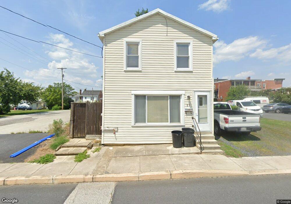
21 Charles St Unit 2 Littlestown, PA 17340
Estimated Value: $180,629 - $231,000
1
Bed
1
Bath
1,242
Sq Ft
$163/Sq Ft
Est. Value
About This Home
This home is located at 21 Charles St Unit 2, Littlestown, PA 17340 and is currently estimated at $202,407, approximately $162 per square foot. 21 Charles St Unit 2 is a home located in Adams County with nearby schools including Rolling Acres El School, Maple Avenue Middle School, and Littlestown Senior High School.
Ownership History
Date
Name
Owned For
Owner Type
Purchase Details
Closed on
Feb 28, 2005
Sold by
Lambert Elizabeth R and Frock Kimberly
Bought by
Breighner Robert M and Breighner Deborah M
Current Estimated Value
Home Financials for this Owner
Home Financials are based on the most recent Mortgage that was taken out on this home.
Original Mortgage
$10,000
Interest Rate
5.14%
Mortgage Type
Stand Alone Second
Create a Home Valuation Report for This Property
The Home Valuation Report is an in-depth analysis detailing your home's value as well as a comparison with similar homes in the area
Home Values in the Area
Average Home Value in this Area
Purchase History
| Date | Buyer | Sale Price | Title Company |
|---|---|---|---|
| Breighner Robert M | $90,000 | -- |
Source: Public Records
Mortgage History
| Date | Status | Borrower | Loan Amount |
|---|---|---|---|
| Closed | Breighner Robert M | $10,000 | |
| Open | Breighner Robert M | $70,900 |
Source: Public Records
Tax History Compared to Growth
Tax History
| Year | Tax Paid | Tax Assessment Tax Assessment Total Assessment is a certain percentage of the fair market value that is determined by local assessors to be the total taxable value of land and additions on the property. | Land | Improvement |
|---|---|---|---|---|
| 2025 | $2,795 | $121,600 | $36,400 | $85,200 |
| 2024 | $2,694 | $121,600 | $36,400 | $85,200 |
| 2023 | $2,589 | $121,600 | $36,400 | $85,200 |
| 2022 | $2,574 | $121,600 | $36,400 | $85,200 |
| 2021 | $2,498 | $121,600 | $36,400 | $85,200 |
| 2020 | $2,468 | $121,600 | $36,400 | $85,200 |
| 2019 | $2,394 | $121,600 | $36,400 | $85,200 |
| 2018 | $2,350 | $121,600 | $36,400 | $85,200 |
| 2017 | $2,290 | $121,600 | $36,400 | $85,200 |
| 2016 | -- | $121,600 | $36,400 | $85,200 |
| 2015 | -- | $121,600 | $36,400 | $85,200 |
| 2014 | -- | $121,600 | $36,400 | $85,200 |
Source: Public Records
Map
Nearby Homes
- 115 Charles St
- 117 Charles St
- 129 W King St
- 61 E King St
- 22 Rita Marie Ave
- 211 E King St
- 140 Apple Grove Ln Unit 425
- 440 N Queen St
- 162 Newark St
- 161 Stoners Cir
- 449 Glenwyn Dr
- 41 Smith Cir
- 535 Lumber St
- 559 Lumber St
- 567 Lumber St
- 58 Windsor Ct
- 48 Windsor Ct
- 20c Locust Dr
- 0 Locust Dr Unit PAAD2015910
- 1024 Frederick Pike Unit 6
- 20 W King St Unit 1
- 18 W King St
- 28 1/2 W King Street 1 2
- 101 M St Unit 1
- 28 1/2 W King St
- 111 Charles St
- 28 1/2 1/2 W King St
- 30 W King St
- 0 W King St Unit 1001366976
- L-9 Lori Ln Unit 9
- L-8 Lori Ln Unit 8
- Lot #8 Lori Ln
- LOT 16 Quail Valley Golf Course
- LOT 10 Quail Valley Golf Course
- LOT 11 Quail Valley Golf Course
- Lot Kindig Rd
- Lot 5 & 6 Lion Archer Dr
- 103 & 105 S Queen St
- 21 W King St