21 Chauncy Cir Westborough, MA 01581
Estimated Value: $475,000 - $587,000
3
Beds
2
Baths
1,304
Sq Ft
$388/Sq Ft
Est. Value
About This Home
This home is located at 21 Chauncy Cir, Westborough, MA 01581 and is currently estimated at $505,888, approximately $387 per square foot. 21 Chauncy Cir is a home located in Worcester County with nearby schools including Westborough High School, Westboro Knowledge Beginnings, and Ebridge Montessori School.
Ownership History
Date
Name
Owned For
Owner Type
Purchase Details
Closed on
Jul 25, 2022
Sold by
Macdonald Charles D and Macdonald Gerard O
Bought by
Kierce Catherine M
Current Estimated Value
Home Financials for this Owner
Home Financials are based on the most recent Mortgage that was taken out on this home.
Original Mortgage
$210,000
Outstanding Balance
$199,746
Interest Rate
5.23%
Mortgage Type
Purchase Money Mortgage
Estimated Equity
$306,142
Purchase Details
Closed on
Jan 14, 1997
Sold by
Guzzi Family Nt and Guzzi
Bought by
Macdonald Gerard O
Purchase Details
Closed on
Oct 4, 1993
Sold by
Zuretti Marion G
Bought by
Guzzi David M and Guzzi Amy J
Home Financials for this Owner
Home Financials are based on the most recent Mortgage that was taken out on this home.
Original Mortgage
$30,000
Interest Rate
7%
Mortgage Type
Purchase Money Mortgage
Create a Home Valuation Report for This Property
The Home Valuation Report is an in-depth analysis detailing your home's value as well as a comparison with similar homes in the area
Home Values in the Area
Average Home Value in this Area
Purchase History
| Date | Buyer | Sale Price | Title Company |
|---|---|---|---|
| Kierce Catherine M | $350,000 | None Available | |
| Macdonald Gerard O | $153,000 | -- | |
| Guzzi David M | $35,000 | -- |
Source: Public Records
Mortgage History
| Date | Status | Borrower | Loan Amount |
|---|---|---|---|
| Open | Kierce Catherine M | $210,000 | |
| Previous Owner | Guzzi David M | $40,000 | |
| Previous Owner | Guzzi David M | $30,000 |
Source: Public Records
Tax History Compared to Growth
Tax History
| Year | Tax Paid | Tax Assessment Tax Assessment Total Assessment is a certain percentage of the fair market value that is determined by local assessors to be the total taxable value of land and additions on the property. | Land | Improvement |
|---|---|---|---|---|
| 2025 | $8,670 | $532,200 | $413,300 | $118,900 |
| 2024 | $8,179 | $498,400 | $374,100 | $124,300 |
| 2023 | $7,950 | $472,100 | $356,200 | $115,900 |
| 2022 | $7,625 | $412,400 | $310,500 | $101,900 |
| 2021 | $7,444 | $401,500 | $299,600 | $101,900 |
| 2020 | $7,055 | $385,100 | $280,000 | $105,100 |
| 2019 | $6,811 | $371,600 | $282,200 | $89,400 |
| 2018 | $6,380 | $345,600 | $273,400 | $72,200 |
| 2017 | $6,152 | $345,600 | $273,400 | $72,200 |
| 2016 | $5,850 | $329,200 | $256,000 | $73,200 |
| 2015 | $5,676 | $305,300 | $234,200 | $71,100 |
Source: Public Records
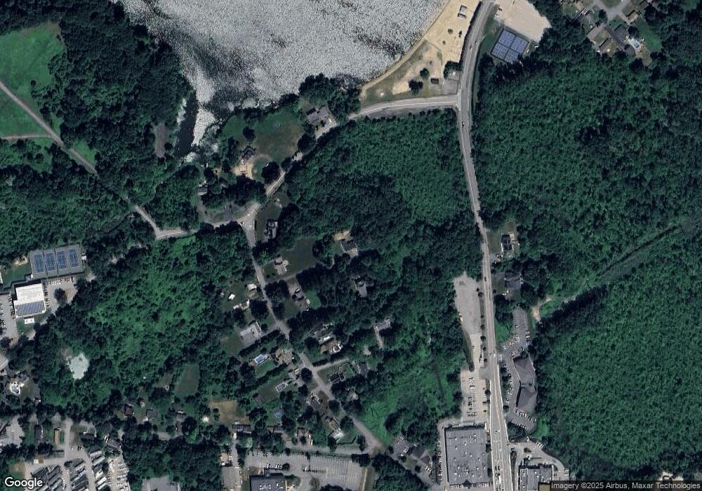
Map
Nearby Homes
- 5 Chauncy Cir
- 196 -198 Turnpike Rd
- 3 Dover Way
- 14 Mayberry Dr Unit 10
- 7 Mayberry Dr Unit H
- 9 Treetop Park
- 19 Treetop Park Unit 19
- 12302 Peters Farm Way Unit 302
- 2 Talbot Way Unit 2103
- 2 Talbot Way Unit 2208
- 11101 Peters Farm Way Unit 101
- 23 Water St
- 3112 Peters Farm Way Unit 112
- 11302 Peters Farm Way Unit 11302
- 5 Peters Farm Way Unit 106
- 5 Peters Farm Way Unit 406
- 5 Peters Farm Way Unit 113
- 5 Peters Farm Way Unit 112
- 5 Peters Farm Way Unit 105
- 5 Peters Farm Way Unit 213