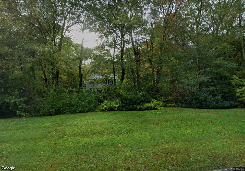
21 Chriswood Trace Ledyard, CT 06339
Estimated Value: $508,342 - $552,000
4
Beds
2
Baths
2,054
Sq Ft
$260/Sq Ft
Est. Value
About This Home
This home is located at 21 Chriswood Trace, Ledyard, CT 06339 and is currently estimated at $533,586, approximately $259 per square foot. 21 Chriswood Trace is a home located in New London County with nearby schools including Ledyard Middle School and Ledyard High School.
Ownership History
Date
Name
Owned For
Owner Type
Purchase Details
Closed on
Jan 11, 2013
Sold by
Cohoon John F
Bought by
David-Rallo Annette
Current Estimated Value
Home Financials for this Owner
Home Financials are based on the most recent Mortgage that was taken out on this home.
Original Mortgage
$75,000
Interest Rate
3.38%
Purchase Details
Closed on
Jul 1, 1988
Sold by
Hlm Dev Inc
Bought by
Cohoon John
Home Financials for this Owner
Home Financials are based on the most recent Mortgage that was taken out on this home.
Original Mortgage
$120,000
Interest Rate
10.47%
Create a Home Valuation Report for This Property
The Home Valuation Report is an in-depth analysis detailing your home's value as well as a comparison with similar homes in the area
Home Values in the Area
Average Home Value in this Area
Purchase History
| Date | Buyer | Sale Price | Title Company |
|---|---|---|---|
| David-Rallo Annette | -- | -- | |
| Cohoon John | $206,900 | -- |
Source: Public Records
Mortgage History
| Date | Status | Borrower | Loan Amount |
|---|---|---|---|
| Closed | Cohoon John | $75,000 | |
| Previous Owner | Cohoon John | $168,000 | |
| Previous Owner | Cohoon John | $120,000 |
Source: Public Records
Tax History Compared to Growth
Tax History
| Year | Tax Paid | Tax Assessment Tax Assessment Total Assessment is a certain percentage of the fair market value that is determined by local assessors to be the total taxable value of land and additions on the property. | Land | Improvement |
|---|---|---|---|---|
| 2025 | $7,651 | $206,010 | $56,350 | $149,660 |
| 2024 | $7,254 | $206,010 | $56,350 | $149,660 |
| 2023 | $7,120 | $206,010 | $56,350 | $149,660 |
| 2022 | $6,967 | $206,010 | $56,350 | $149,660 |
| 2021 | $6,922 | $206,010 | $56,350 | $149,660 |
| 2020 | $6,014 | $171,990 | $41,020 | $130,970 |
| 2019 | $6,030 | $171,990 | $41,020 | $130,970 |
| 2018 | $5,898 | $171,990 | $41,020 | $130,970 |
| 2017 | $5,597 | $171,990 | $41,020 | $130,970 |
| 2016 | $5,486 | $171,990 | $41,020 | $130,970 |
| 2015 | $5,228 | $171,990 | $41,020 | $130,970 |
| 2014 | $6,061 | $199,360 | $61,460 | $137,900 |
Source: Public Records
Map
Nearby Homes
- 9 Reservoir View
- 254 Haley Rd
- 186 Haley Rd
- 452 Colonel Ledyard Hwy
- 36 Watrous Ave
- 173 Lambtown Rd
- 22 Spring Valley Rd
- 1459 Gold Star Hwy
- 528 Colonel Ledyard Hwy
- 1211 Gold Star Hwy
- 1064 North Rd
- 39 Ash Dr Unit 9
- 25 Marty's Way
- 2590 Gold Star Hwy Unit 210
- 19 Center Dr
- 11 Marty's Way
- 18 Marty's Way
- 675 Colonel Ledyard Hwy
- 17 Autumn Way
- 97 North Rd
- 19 Chriswood Trace
- 27 Chriswood Trace
- 29 Chriswood Trace
- 17 Chriswood Trace
- 18 Chriswood Trace
- 20 Chriswood Trace
- 31 Chriswood Trace
- 22 Chriswood Trace
- 28 Chriswood Trace
- 15 Chriswood Trace
- 24 Chriswood Trace
- 16 Chriswood Trace
- 33 Chriswood Trace
- 26 Chriswood Trace
- 30 Chriswood Trace
- 12 Chriswood Trace
- 34 Chriswood Trace
- 32 Chriswood Trace
- 1714 Center Groton Rd
- 1710 Center Groton Rd