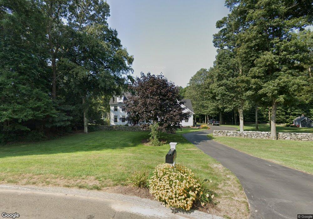
21 Clarkson Ln Killingworth, CT 06419
Estimated Value: $1,171,000 - $1,687,000
4
Beds
5
Baths
4,190
Sq Ft
$340/Sq Ft
Est. Value
About This Home
This home is located at 21 Clarkson Ln, Killingworth, CT 06419 and is currently estimated at $1,422,605, approximately $339 per square foot. 21 Clarkson Ln is a home located in Middlesex County with nearby schools including Haddam-Killingworth High School and Haddam-Killingworth Intermediate School.
Ownership History
Date
Name
Owned For
Owner Type
Purchase Details
Closed on
Dec 3, 2019
Sold by
Wezenski Lee A and Wezenski Roberta K
Bought by
Wezenski Roberta K
Current Estimated Value
Purchase Details
Closed on
May 9, 2006
Sold by
J&L Construction Llc
Bought by
Wezenski Lee and Wezenski Roberta
Home Financials for this Owner
Home Financials are based on the most recent Mortgage that was taken out on this home.
Original Mortgage
$500,000
Interest Rate
6.34%
Create a Home Valuation Report for This Property
The Home Valuation Report is an in-depth analysis detailing your home's value as well as a comparison with similar homes in the area
Home Values in the Area
Average Home Value in this Area
Purchase History
| Date | Buyer | Sale Price | Title Company |
|---|---|---|---|
| Wezenski Roberta K | -- | None Available | |
| Wezenski Lee | $918,994 | -- |
Source: Public Records
Mortgage History
| Date | Status | Borrower | Loan Amount |
|---|---|---|---|
| Previous Owner | Wezenski Lee | $100,000 | |
| Previous Owner | Wezenski Lee | $550,000 | |
| Previous Owner | Wezenski Lee | $500,000 | |
| Previous Owner | Wezenski Lee | $500,000 |
Source: Public Records
Tax History Compared to Growth
Tax History
| Year | Tax Paid | Tax Assessment Tax Assessment Total Assessment is a certain percentage of the fair market value that is determined by local assessors to be the total taxable value of land and additions on the property. | Land | Improvement |
|---|---|---|---|---|
| 2025 | $17,743 | $676,690 | $95,900 | $580,790 |
| 2024 | $16,389 | $676,690 | $95,900 | $580,790 |
| 2023 | $15,575 | $663,600 | $95,900 | $567,700 |
| 2022 | $15,409 | $663,600 | $95,900 | $567,700 |
| 2021 | $2,222 | $495,110 | $106,370 | $388,740 |
| 2020 | $13,229 | $495,110 | $106,370 | $388,740 |
| 2019 | $13,601 | $495,110 | $106,370 | $388,740 |
| 2018 | $13,601 | $495,110 | $106,370 | $388,740 |
| 2017 | $13,601 | $495,110 | $106,370 | $388,740 |
| 2016 | $14,490 | $559,690 | $160,650 | $399,040 |
Source: Public Records
Map
Nearby Homes
- 179 Route 81
- 37 Titus Coan Rd
- 25 Roast Meat Hill Rd
- 8 Linnea Ln
- 14 Ely Ln
- 262 Connecticut 81
- 115 Hemlock Dr
- 36 Silver Birch Ln
- 25 Kelseytown Bridge Rd
- 100 N Tower Hill Rd
- 180 Green Hill Rd
- 0 Kelseytown Bridge Rd
- 4 Laurel Ln
- 11 Silver Birch Ln
- 3 Circle Dr
- 14 Kenilworth Dr
- 33 Whitewood Rd
- 10 Whitewood Rd
- 8 Livemore Trail
- 11 Pleasant Trail
- 22 Clarkson Rd
- 15 Clarkson Ln
- 15 Clarkson Rd
- 16 Clarkson Rd
- 10 Clarkson Rd
- 5 Clarkson Rd
- 6 Clarkson Ln
- 6 Clarkson Rd
- 1 Clarkson Rd
- 140 Roast Meat Hill Rd
- 140 Roast Meat Hill Rd
- 164 Roast Meat Hill Rd
- 17 Stevens Rd
- 147 Roast Meat Hill Rd
- 8 Old Coach Rd
- 132 Roast Meat Hill Rd
- 139 Roast Meat Hill Rd
- 133 Roast Meat Hill Rd
- 126 Roast Meat Hill Rd
- 19 Stevens Rd