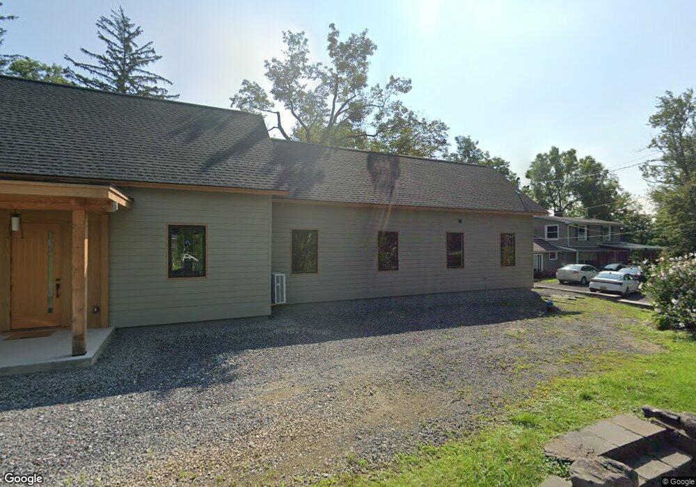
21 Clint Finger Rd Saugerties, NY 12477
Estimated Value: $550,000 - $862,843
2
Beds
3
Baths
2,416
Sq Ft
$279/Sq Ft
Est. Value
About This Home
This home is located at 21 Clint Finger Rd, Saugerties, NY 12477 and is currently estimated at $673,461, approximately $278 per square foot. 21 Clint Finger Rd is a home located in Ulster County with nearby schools including Saugerties Senior High School and Cerebral Palsy of Ulster County Preschool Program.
Ownership History
Date
Name
Owned For
Owner Type
Purchase Details
Closed on
Feb 11, 2020
Sold by
Holland Louise
Bought by
Holland David
Current Estimated Value
Create a Home Valuation Report for This Property
The Home Valuation Report is an in-depth analysis detailing your home's value as well as a comparison with similar homes in the area
Home Values in the Area
Average Home Value in this Area
Purchase History
| Date | Buyer | Sale Price | Title Company |
|---|---|---|---|
| Holland David | -- | None Available | |
| Holland David | -- | None Available | |
| Holland David | -- | None Available |
Source: Public Records
Tax History Compared to Growth
Tax History
| Year | Tax Paid | Tax Assessment Tax Assessment Total Assessment is a certain percentage of the fair market value that is determined by local assessors to be the total taxable value of land and additions on the property. | Land | Improvement |
|---|---|---|---|---|
| 2024 | $15,075 | $724,000 | $60,000 | $664,000 |
| 2023 | $1,662 | $74,500 | $54,500 | $20,000 |
| 2022 | $8,096 | $137,500 | $54,500 | $83,000 |
| 2021 | $8,096 | $269,000 | $49,500 | $219,500 |
| 2020 | $7,360 | $242,000 | $44,500 | $197,500 |
| 2019 | $6,730 | $242,000 | $44,500 | $197,500 |
| 2018 | $7,115 | $234,500 | $44,500 | $190,000 |
| 2017 | $6,784 | $221,000 | $44,500 | $176,500 |
| 2016 | $6,766 | $221,000 | $44,500 | $176,500 |
| 2015 | -- | $221,000 | $60,500 | $160,500 |
| 2014 | -- | $221,000 | $60,500 | $160,500 |
Source: Public Records
Map
Nearby Homes
- TBD Glenerie Ln
- 30 Glenerie Ln
- 181 Glenerie Blvd
- 356 Old Stage Rd
- 12 Park Cir
- 10 Park Cir
- 2679 Route 9w
- 7 Country Club Dr
- 15 Dachenhausen Ln
- 688 Churchland Rd
- 188 Old Stage Rd
- 2771 U S 9w
- 18 Ridge Rd
- 15 Ruby Meadows Rd
- 17 Cedar Dr
- 6 Paupawey Ct
- 246 South Rd
- 28 John Carle Rd
- 125 Main St
- 2084 Route 32
- 31 Clint Finger Rd Unit . 2
- 31 Clint Finger Rd Unit . 1
- 31 Clint Finger Rd Unit 2
- 31 Clint Finger Rd
- 20 Clint Finger Rd
- 15 Clint Finger Rd
- 16 Clint Finger Rd
- 570 Kings Hwy
- 557 Kings Hwy
- 556 Kings Hwy
- 548 Kings Hwy
- 599 Kings Hwy
- 601 Kings Hwy
- 103 Clint Finger Ln
- 519 Kings Hwy
- 504 Kings Hwy
- 607 Kings Hwy
- 126 Clint Finger Ln
- 513 Kings Hwy
- 170 Clint Finger Ln