21 Colburn Rd Charlton, MA 01507
Estimated Value: $558,978 - $647,000
3
Beds
3
Baths
2,232
Sq Ft
$274/Sq Ft
Est. Value
About This Home
This home is located at 21 Colburn Rd, Charlton, MA 01507 and is currently estimated at $611,245, approximately $273 per square foot. 21 Colburn Rd is a home located in Worcester County with nearby schools including Shepherd Hill Regional High School.
Create a Home Valuation Report for This Property
The Home Valuation Report is an in-depth analysis detailing your home's value as well as a comparison with similar homes in the area
Home Values in the Area
Average Home Value in this Area
Tax History Compared to Growth
Tax History
| Year | Tax Paid | Tax Assessment Tax Assessment Total Assessment is a certain percentage of the fair market value that is determined by local assessors to be the total taxable value of land and additions on the property. | Land | Improvement |
|---|---|---|---|---|
| 2025 | $5,189 | $466,200 | $94,100 | $372,100 |
| 2024 | $5,054 | $445,700 | $93,900 | $351,800 |
| 2023 | $4,929 | $405,000 | $89,700 | $315,300 |
| 2022 | $5,174 | $389,300 | $81,500 | $307,800 |
| 2021 | $5,211 | $347,200 | $77,300 | $269,900 |
| 2020 | $5,142 | $344,200 | $74,300 | $269,900 |
| 2019 | $5,084 | $344,200 | $74,300 | $269,900 |
| 2018 | $4,647 | $344,200 | $74,300 | $269,900 |
| 2017 | $4,436 | $314,600 | $68,300 | $246,300 |
| 2016 | $4,335 | $314,600 | $68,300 | $246,300 |
| 2015 | $4,222 | $314,600 | $68,300 | $246,300 |
| 2014 | $4,050 | $319,900 | $71,000 | $248,900 |
Source: Public Records
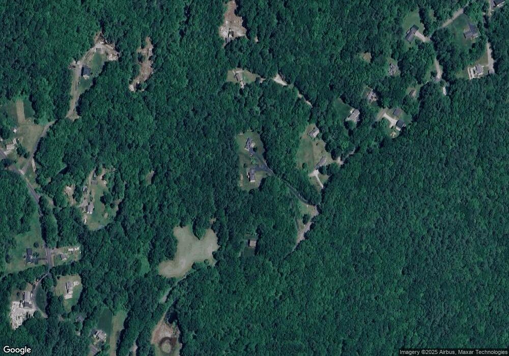
Map
Nearby Homes
- 58 Colburn Rd
- 0 Freeman Rd Unit 73369281
- 76 Number 6 Schoolhouse Rd
- 65 Haggerty Rd
- 0 Partridge Hill Rd
- 2 Lelandville Rd
- 3 Lelandville Rd
- 2 Potter Village Rd
- 16 Sandersdale Rd
- 91 Burlingame Rd
- 0 Blood Rd
- 60 Saundersdale Rd
- Lot 1A Sandersdale Rd
- Lot 3A Sandersdale Rd
- Lot 2A Sandersdale Rd
- 7 L Stevens Rd Unit A
- 7 L Stevens Rd Unit B
- 18 Mckinstry Dr
- 0 Sandersdale Rd
- 13 Boucher Dr