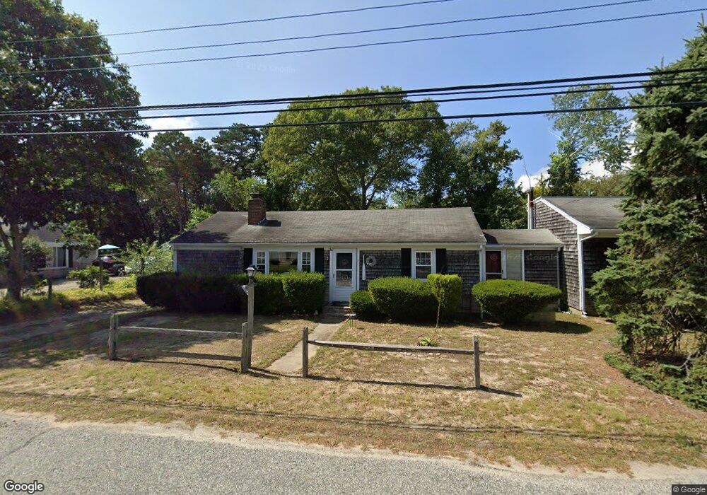
21 Colony Rd Dennis Port, MA 02639
Dennis Port NeighborhoodEstimated Value: $636,619 - $702,000
3
Beds
2
Baths
1,680
Sq Ft
$398/Sq Ft
Est. Value
About This Home
This home is located at 21 Colony Rd, Dennis Port, MA 02639 and is currently estimated at $668,155, approximately $397 per square foot. 21 Colony Rd is a home located in Barnstable County with nearby schools including Dennis-Yarmouth Regional High School and St. Pius X. School.
Ownership History
Date
Name
Owned For
Owner Type
Purchase Details
Closed on
Nov 29, 2001
Sold by
Rozell Ralph E
Bought by
Holt David R and Holt Nancy J
Current Estimated Value
Home Financials for this Owner
Home Financials are based on the most recent Mortgage that was taken out on this home.
Original Mortgage
$156,000
Outstanding Balance
$61,365
Interest Rate
6.66%
Mortgage Type
Purchase Money Mortgage
Estimated Equity
$606,790
Purchase Details
Closed on
Jul 6, 1988
Sold by
Dutra Roberta K
Bought by
Rozell Ralph E
Home Financials for this Owner
Home Financials are based on the most recent Mortgage that was taken out on this home.
Original Mortgage
$104,000
Interest Rate
10.54%
Mortgage Type
Purchase Money Mortgage
Create a Home Valuation Report for This Property
The Home Valuation Report is an in-depth analysis detailing your home's value as well as a comparison with similar homes in the area
Home Values in the Area
Average Home Value in this Area
Purchase History
| Date | Buyer | Sale Price | Title Company |
|---|---|---|---|
| Holt David R | $195,000 | -- | |
| Rozell Ralph E | $130,000 | -- |
Source: Public Records
Mortgage History
| Date | Status | Borrower | Loan Amount |
|---|---|---|---|
| Open | Holt David R | $156,000 | |
| Previous Owner | Rozell Ralph E | $104,000 |
Source: Public Records
Tax History Compared to Growth
Tax History
| Year | Tax Paid | Tax Assessment Tax Assessment Total Assessment is a certain percentage of the fair market value that is determined by local assessors to be the total taxable value of land and additions on the property. | Land | Improvement |
|---|---|---|---|---|
| 2025 | $2,288 | $528,300 | $200,500 | $327,800 |
| 2024 | $2,114 | $481,600 | $192,800 | $288,800 |
| 2023 | $2,045 | $437,900 | $175,300 | $262,600 |
| 2022 | $2,062 | $368,200 | $157,900 | $210,300 |
| 2021 | $2,396 | $397,400 | $176,900 | $220,500 |
| 2020 | $2,216 | $363,300 | $154,800 | $208,500 |
| 2019 | $1,989 | $322,300 | $151,800 | $170,500 |
| 2018 | $2,439 | $278,700 | $144,500 | $134,200 |
| 2017 | $1,616 | $262,800 | $134,100 | $128,700 |
| 2016 | $1,606 | $245,900 | $144,500 | $101,400 |
| 2015 | $1,574 | $245,900 | $144,500 | $101,400 |
| 2014 | $1,430 | $225,200 | $123,800 | $101,400 |
Source: Public Records
Map
Nearby Homes
- 19 Standish Way
- 4 Coffey Ln
- 71 Main St
- 125 Main St Unit 3
- 12 Spoonbill Rd
- 22 Wixon Rd
- 72 Bassett Ln
- 80 Michaels Ave
- 268 Main St
- 31 Easy St
- 95 Center St
- 15 Woodside Park Rd
- 26 Center St
- 78 Upper County Rd Unit A&B
- 78 Upper County Rd
- 20 Aunt Debbys Rd
- 3 Pinefield Ln
- 24 Indian Trail
- 12 Candlewood Ln Unit 2-9
- 61 Trotters Ln