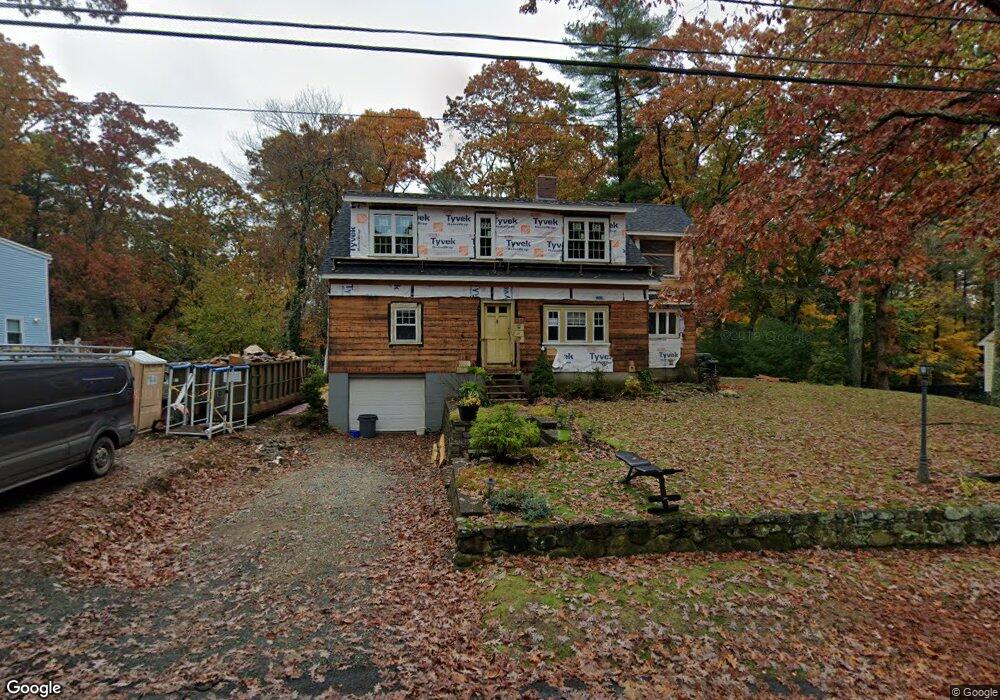
21 Colrain Rd Topsfield, MA 01983
Estimated Value: $796,000 - $972,000
2
Beds
1
Bath
1,176
Sq Ft
$758/Sq Ft
Est. Value
About This Home
This home is located at 21 Colrain Rd, Topsfield, MA 01983 and is currently estimated at $891,013, approximately $757 per square foot. 21 Colrain Rd is a home located in Essex County with nearby schools including Steward Elementary School, Proctor Elementary School, and Masconomet Regional Middle School.
Ownership History
Date
Name
Owned For
Owner Type
Purchase Details
Closed on
Jun 20, 2006
Sold by
Allen David R
Bought by
Allen David R
Current Estimated Value
Purchase Details
Closed on
Sep 10, 2004
Sold by
Allen David R
Bought by
Allen David R
Create a Home Valuation Report for This Property
The Home Valuation Report is an in-depth analysis detailing your home's value as well as a comparison with similar homes in the area
Home Values in the Area
Average Home Value in this Area
Purchase History
| Date | Buyer | Sale Price | Title Company |
|---|---|---|---|
| Allen David R | -- | -- | |
| Allen David R | -- | -- |
Source: Public Records
Mortgage History
| Date | Status | Borrower | Loan Amount |
|---|---|---|---|
| Open | Allen David R | $234,000 | |
| Closed | Allen David R | $60,000 | |
| Closed | Allen David R | $47,250 |
Source: Public Records
Tax History Compared to Growth
Tax History
| Year | Tax Paid | Tax Assessment Tax Assessment Total Assessment is a certain percentage of the fair market value that is determined by local assessors to be the total taxable value of land and additions on the property. | Land | Improvement |
|---|---|---|---|---|
| 2025 | $12,521 | $835,300 | $334,800 | $500,500 |
| 2024 | $12,271 | $835,300 | $334,800 | $500,500 |
| 2023 | $10,769 | $708,500 | $323,600 | $384,900 |
| 2022 | $9,367 | $562,600 | $323,600 | $239,000 |
| 2021 | $8,960 | $500,000 | $267,800 | $232,200 |
| 2020 | $6,721 | $385,800 | $267,800 | $118,000 |
| 2019 | $6,538 | $384,600 | $267,800 | $116,800 |
| 2018 | $6,420 | $369,800 | $267,800 | $102,000 |
| 2017 | $5,821 | $343,800 | $241,800 | $102,000 |
| 2016 | $5,440 | $329,300 | $226,900 | $102,400 |
| 2015 | $5,183 | $315,100 | $209,500 | $105,600 |
Source: Public Records
Map
Nearby Homes
- 76 Parsonage Ln
- 34 Great Hill Dr Unit 34
- 8 Mansion Dr
- 28 Andrews Farm Rd
- 9 Andrews Farm Rd
- 88 Haverhill Rd
- 10 Walker Rd
- 10 Haymeadow Rd
- 137 Perkins Row
- 14 Alderbrook Dr
- 4 Wildmeadow Rd
- 117 Perkins Row
- 34 Wildmeadow Rd
- 20-B Wildmeadow Rd
- 16 Janes Rd
- 40 Dana Rd
- 95 Salem Rd
- 14 Pond St
- 37 Moonpenny Dr
- 28 Janes Rd