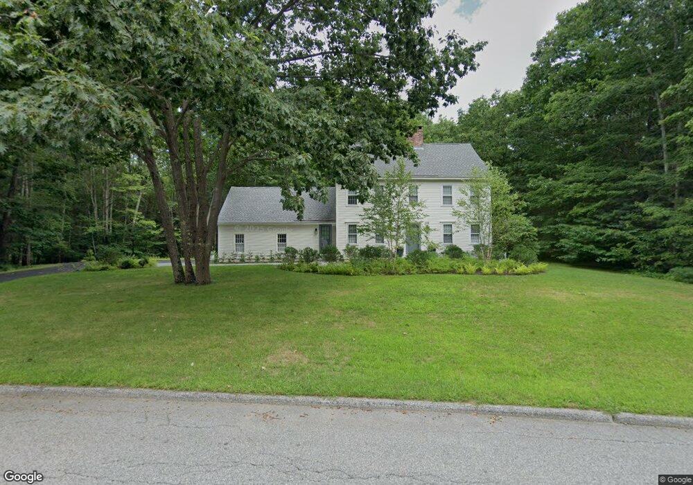
21 Commons Ln Unit 21 Kennebunk, ME 04043
Estimated Value: $829,000 - $1,133,000
3
Beds
3
Baths
1,259
Sq Ft
$750/Sq Ft
Est. Value
About This Home
This home is located at 21 Commons Ln Unit 21, Kennebunk, ME 04043 and is currently estimated at $944,437, approximately $750 per square foot. 21 Commons Ln Unit 21 is a home located in York County with nearby schools including Kennebunk High School and The New School.
Ownership History
Date
Name
Owned For
Owner Type
Purchase Details
Closed on
Aug 24, 2018
Sold by
Reid Matthew T
Bought by
Brittle Lorraine L and Brittle Lorraine L
Current Estimated Value
Home Financials for this Owner
Home Financials are based on the most recent Mortgage that was taken out on this home.
Original Mortgage
$431,100
Outstanding Balance
$372,829
Interest Rate
4.5%
Mortgage Type
New Conventional
Estimated Equity
$571,608
Purchase Details
Closed on
Nov 29, 2017
Sold by
Jackman Gertrude Est and Reid
Bought by
Reid Matthew T
Create a Home Valuation Report for This Property
The Home Valuation Report is an in-depth analysis detailing your home's value as well as a comparison with similar homes in the area
Home Values in the Area
Average Home Value in this Area
Purchase History
| Date | Buyer | Sale Price | Title Company |
|---|---|---|---|
| Brittle Lorraine L | -- | -- | |
| Brittle Lorraine L | -- | -- | |
| Reid Matthew T | -- | -- | |
| Brittle Lorraine L | -- | -- | |
| Reid Matthew T | -- | -- |
Source: Public Records
Mortgage History
| Date | Status | Borrower | Loan Amount |
|---|---|---|---|
| Open | Brittle Lorraine L | $431,100 | |
| Closed | Brittle Lorraine L | $431,100 |
Source: Public Records
Tax History
| Year | Tax Paid | Tax Assessment Tax Assessment Total Assessment is a certain percentage of the fair market value that is determined by local assessors to be the total taxable value of land and additions on the property. | Land | Improvement |
|---|---|---|---|---|
| 2024 | $7,965 | $469,900 | $184,700 | $285,200 |
| 2023 | $7,542 | $469,900 | $184,700 | $285,200 |
| 2022 | $6,861 | $469,900 | $184,700 | $285,200 |
| 2021 | $6,696 | $469,900 | $184,700 | $285,200 |
| 2020 | $6,295 | $469,900 | $184,700 | $285,200 |
| 2019 | $6,461 | $469,900 | $184,700 | $285,200 |
| 2018 | $6,167 | $352,400 | $138,500 | $213,900 |
| 2017 | $5,832 | $352,400 | $138,500 | $213,900 |
| 2016 | $5,603 | $352,400 | $138,500 | $213,900 |
| 2015 | $5,246 | $352,400 | $138,500 | $213,900 |
| 2014 | $5,109 | $352,400 | $138,500 | $213,900 |
Source: Public Records
Map
Nearby Homes
- Lot#39 Bufflehead Cove Ln
- 22 River Locks Rd
- 3 Breakwater Ct Unit 1
- 7 Christensen Ln
- 18 Ledgewater Dr
- 2 Maine St Unit A
- 2 Maine St Unit B
- 12 Beach Ave
- 87 Boothby Rd
- 16 Larboard Ln Unit 6
- 5 School St
- 77 North St
- 14 Rachel Dr
- 24 School St
- 5 Lake Brook Dr
- 60 Ocean Ave
- 5 Surrey Ln
- 00 Arundel Rd
- 12 Ephraim Tyler Way
- 20 Surf Ln
Your Personal Tour Guide
Ask me questions while you tour the home.