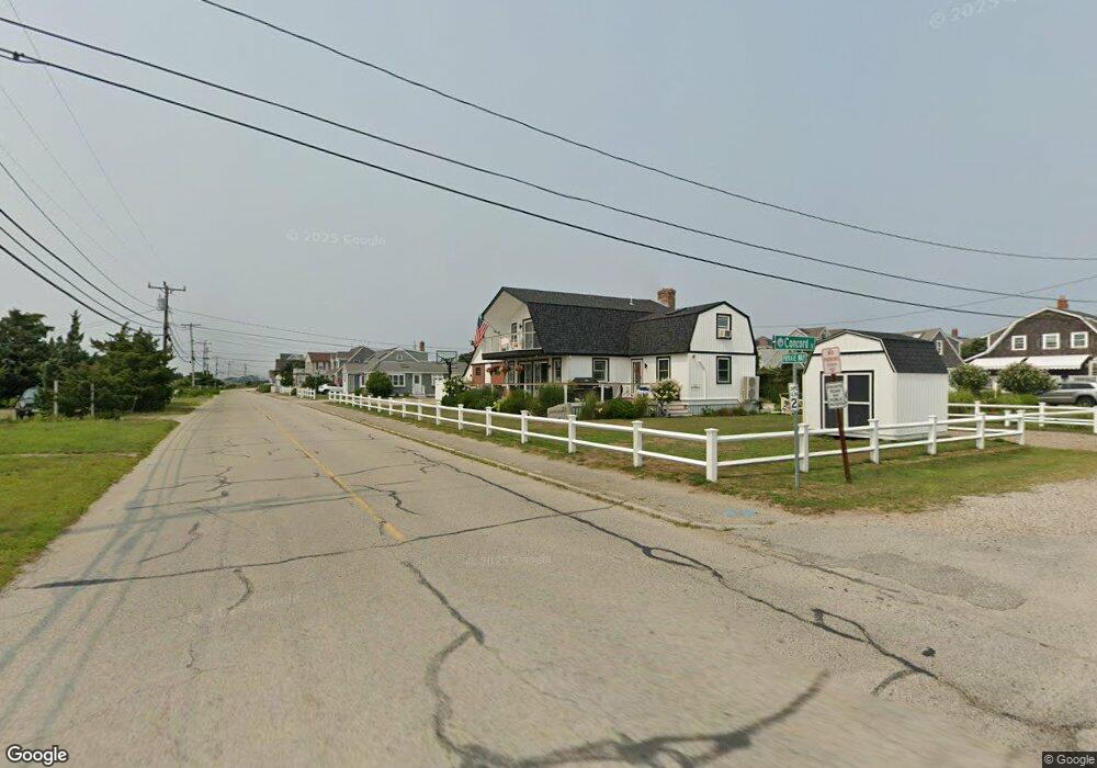
21 Concord St Scituate, MA 02066
Humarock NeighborhoodEstimated Value: $1,202,000 - $1,458,666
3
Beds
5
Baths
2,922
Sq Ft
$466/Sq Ft
Est. Value
About This Home
This home is located at 21 Concord St, Scituate, MA 02066 and is currently estimated at $1,360,917, approximately $465 per square foot. 21 Concord St is a home with nearby schools including Jenkins Elementary School, Lester J. Gates Middle School, and Scituate High School.
Ownership History
Date
Name
Owned For
Owner Type
Purchase Details
Closed on
Nov 14, 2017
Sold by
Nashawaty Concord St T
Bought by
Nashawaty Andrew R
Current Estimated Value
Purchase Details
Closed on
Oct 1, 2015
Sold by
Nashawanty Ft and Nashawaty Richard A
Bought by
Nashawaty Concord St T and Nashawaty Richard A
Create a Home Valuation Report for This Property
The Home Valuation Report is an in-depth analysis detailing your home's value as well as a comparison with similar homes in the area
Home Values in the Area
Average Home Value in this Area
Purchase History
| Date | Buyer | Sale Price | Title Company |
|---|---|---|---|
| Nashawaty Andrew R | -- | -- | |
| Nashawaty Concord St T | -- | -- |
Source: Public Records
Tax History
| Year | Tax Paid | Tax Assessment Tax Assessment Total Assessment is a certain percentage of the fair market value that is determined by local assessors to be the total taxable value of land and additions on the property. | Land | Improvement |
|---|---|---|---|---|
| 2025 | $11,161 | $1,117,200 | $536,400 | $580,800 |
| 2024 | $10,548 | $1,018,100 | $451,500 | $566,600 |
| 2023 | $10,492 | $942,700 | $410,500 | $532,200 |
| 2022 | $9,985 | $791,200 | $344,000 | $447,200 |
| 2021 | $9,728 | $729,800 | $327,600 | $402,200 |
| 2020 | $9,601 | $711,200 | $327,500 | $383,700 |
| 2019 | $8,392 | $610,800 | $321,100 | $289,700 |
| 2018 | $7,260 | $520,400 | $260,700 | $259,700 |
| 2017 | $7,044 | $499,900 | $250,300 | $249,600 |
| 2016 | $6,719 | $475,200 | $239,800 | $235,400 |
| 2015 | $6,089 | $464,800 | $229,400 | $235,400 |
Source: Public Records
Map
Nearby Homes
- 4 Summer St
- 3 Summer St
- 255 Ridge Rd
- 566 Holly Rd
- 1192 S River St
- 86 Telegraph Hill Rd
- 29 Spyglass Landing Dr
- 76 Macombers Way
- 55 Macombers Way
- 16 Schooner Way
- 39 High Beacon Way
- 480 Pleasant St
- 26 Damons Point Cir
- 155 Quincy Ave
- 1155 Main St
- 85 Constitution Rd
- 1 Valley Path
- 889 Old Main Street Extension
- 14 Ferry St
- 60 Samuel Curtis Way
- 27 Concord St
- 16 Krainwood Dr
- 82 Central Ave
- 8 Dodge Rd
- 81 Central Ave
- 77 Central Ave
- 77 Central Ave Unit 1
- 29 Concord St
- 28 Concord St
- 26 Concord St
- 30 Concord St
- 30 Concord St
- 0 Monticello St L:56a Unit 71140803
- 0 Monticello St L:56a Unit 71008205
- 83 Central Ave Unit 83
- 140 Humarock Beach
- 30 Newell St
- 142 Humarock Beach
- 34 & 36 Concord St
- 34 Concord St
Your Personal Tour Guide
Ask me questions while you tour the home.