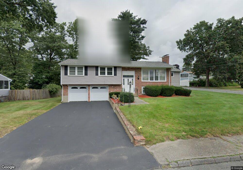
21 Connolly St Randolph, MA 02368
North Randolph NeighborhoodEstimated Value: $571,000 - $639,000
3
Beds
2
Baths
1,468
Sq Ft
$413/Sq Ft
Est. Value
About This Home
This home is located at 21 Connolly St, Randolph, MA 02368 and is currently estimated at $606,478, approximately $413 per square foot. 21 Connolly St is a home located in Norfolk County with nearby schools including Randolph High School.
Create a Home Valuation Report for This Property
The Home Valuation Report is an in-depth analysis detailing your home's value as well as a comparison with similar homes in the area
Home Values in the Area
Average Home Value in this Area
Tax History
| Year | Tax Paid | Tax Assessment Tax Assessment Total Assessment is a certain percentage of the fair market value that is determined by local assessors to be the total taxable value of land and additions on the property. | Land | Improvement |
|---|---|---|---|---|
| 2025 | $6,543 | $563,600 | $253,200 | $310,400 |
| 2024 | $6,413 | $560,100 | $248,300 | $311,800 |
| 2023 | $6,077 | $503,100 | $225,800 | $277,300 |
| 2022 | $5,844 | $429,700 | $188,100 | $241,600 |
| 2021 | $5,621 | $380,300 | $156,900 | $223,400 |
| 2020 | $5,472 | $367,000 | $156,900 | $210,100 |
| 2019 | $5,384 | $359,400 | $149,300 | $210,100 |
| 2018 | $5,261 | $331,300 | $135,800 | $195,500 |
| 2017 | $5,103 | $315,400 | $129,300 | $186,100 |
| 2016 | $4,965 | $285,500 | $117,500 | $168,000 |
| 2015 | $5,014 | $277,000 | $111,900 | $165,100 |
Source: Public Records
Map
Nearby Homes
- 902 Irving Rd Unit 902
- 232 Canton St Unit 308
- 232 Canton St Unit 104
- 10 Michael Rd
- 33 Michael Rd
- 4 Franklin Square Unit 4F
- 195 High St
- 140 York St
- 79 Gold St
- 51 Himoor Cir
- 72 Canton St
- 26 Pauline St
- 23 Old St
- 43 Emily Jeffers Rd
- 20 Simmonds Blvd Unit 20
- 18 Simmonds Blvd Unit 18
- 8 Simmonds Blvd Unit 8
- 22 Simmonds Blvd Unit 22
- 10 Simmonds Blvd Unit 10
- 24 Simmonds Blvd Unit 24
Your Personal Tour Guide
Ask me questions while you tour the home.