21 Country Aire Dr Lafayette, IN 47905
Estimated Value: $304,000 - $406,000
--
Bed
--
Bath
2,376
Sq Ft
$148/Sq Ft
Est. Value
About This Home
This home is located at 21 Country Aire Dr, Lafayette, IN 47905 and is currently estimated at $350,847, approximately $147 per square foot. 21 Country Aire Dr is a home located in Tippecanoe County with nearby schools including Wyandotte Elementary School, East Tipp Middle School, and William Henry Harrison High School.
Ownership History
Date
Name
Owned For
Owner Type
Purchase Details
Closed on
Sep 30, 2009
Sold by
Korn William L and Korn Constance D
Bought by
Barker Luanna
Current Estimated Value
Home Financials for this Owner
Home Financials are based on the most recent Mortgage that was taken out on this home.
Original Mortgage
$118,400
Outstanding Balance
$77,746
Interest Rate
5.19%
Mortgage Type
New Conventional
Estimated Equity
$273,101
Create a Home Valuation Report for This Property
The Home Valuation Report is an in-depth analysis detailing your home's value as well as a comparison with similar homes in the area
Home Values in the Area
Average Home Value in this Area
Purchase History
| Date | Buyer | Sale Price | Title Company |
|---|---|---|---|
| Barker Luanna | -- | None Available |
Source: Public Records
Mortgage History
| Date | Status | Borrower | Loan Amount |
|---|---|---|---|
| Open | Barker Luanna | $118,400 |
Source: Public Records
Tax History Compared to Growth
Tax History
| Year | Tax Paid | Tax Assessment Tax Assessment Total Assessment is a certain percentage of the fair market value that is determined by local assessors to be the total taxable value of land and additions on the property. | Land | Improvement |
|---|---|---|---|---|
| 2024 | $1,412 | $229,600 | $41,600 | $188,000 |
| 2023 | $1,286 | $215,000 | $41,600 | $173,400 |
| 2022 | $1,356 | $202,800 | $41,600 | $161,200 |
| 2021 | $1,286 | $194,800 | $41,600 | $153,200 |
| 2020 | $1,178 | $186,700 | $41,600 | $145,100 |
| 2019 | $1,112 | $179,800 | $41,600 | $138,200 |
| 2018 | $1,061 | $176,400 | $41,600 | $134,800 |
| 2017 | $1,027 | $170,500 | $41,600 | $128,900 |
| 2016 | $979 | $166,000 | $41,600 | $124,400 |
| 2014 | $976 | $166,200 | $41,600 | $124,600 |
| 2013 | $975 | $164,800 | $41,600 | $123,200 |
Source: Public Records
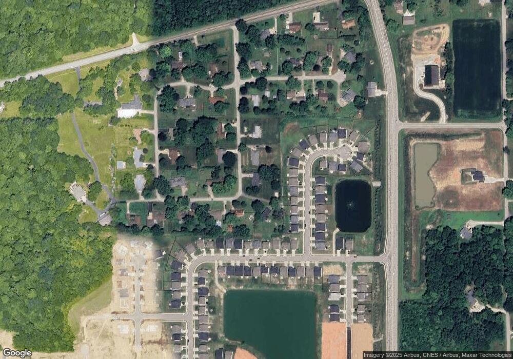
Map
Nearby Homes
- 337 Folkston (Lot 248) Way
- 347 Folkston (Lot 249) Way
- 397 Wallingford (Lot #293) St
- 391 Folkston (Lot 254) Way
- 138 Finsbury St
- 6148 Helmsdale Dr
- 6124 Helmsdale Dr
- 457 Elbridge Ln
- 731 Wexford Dr
- 379 Chapelhill Dr
- 326 Double Tree Dr
- 5604 Lux Blvd
- 116 N Furlong Dr
- 209 N Wilmington Ln
- 88 Penridge Ct
- 324 N Brookfield Dr
- 861 Farrier Place
- 500 S 775 E
- 5113 Wolflake Dr
- 44 Churchill Ct
- 19 Country Aire Dr
- 110 Wadsworth Ct
- 100 Wadsworth Ct
- 120 Wadsworth Ct
- 90 Wadsworth Ct
- 130 Wadsworth Ct
- 6505 Whippoorwill Ln
- 80 Wadsworth Ct
- 6425 Whippoorwill Ln
- 6424 Whippoorwill Ln
- 150 Wadsworth Ct
- 70 Wadsworth Ct
- 15 Country Aire Dr
- 18 Country Aire Dr
- 160 Wadsworth Ct
- 111 Wadsworth Ct
- 51 Wadsworth Ct
- 121 Wadsworth Ct
- 131 Wadsworth Ct
- 60 Wadsworth Ct