21 Crofoot Rd Wilton, CT 06897
Estimated Value: $1,157,000 - $1,429,000
3
Beds
3
Baths
3,064
Sq Ft
$416/Sq Ft
Est. Value
About This Home
This home is located at 21 Crofoot Rd, Wilton, CT 06897 and is currently estimated at $1,274,378, approximately $415 per square foot. 21 Crofoot Rd is a home located in Fairfield County with nearby schools including Miller-Driscoll School, Cider Mill School, and Middlebrook School.
Ownership History
Date
Name
Owned For
Owner Type
Purchase Details
Closed on
Jul 31, 2023
Sold by
Abi-Karam Farouk
Bought by
Farouk Abi-Karam Ret and Abi-Karam
Current Estimated Value
Purchase Details
Closed on
Sep 4, 1987
Sold by
Hmelin Inc
Bought by
Abi-Kanam Farouk
Create a Home Valuation Report for This Property
The Home Valuation Report is an in-depth analysis detailing your home's value as well as a comparison with similar homes in the area
Home Values in the Area
Average Home Value in this Area
Purchase History
| Date | Buyer | Sale Price | Title Company |
|---|---|---|---|
| Farouk Abi-Karam Ret | -- | None Available | |
| Abi-Kanam Farouk | $420,000 | -- |
Source: Public Records
Mortgage History
| Date | Status | Borrower | Loan Amount |
|---|---|---|---|
| Previous Owner | Abi-Kanam Farouk | $300,000 | |
| Previous Owner | Abi-Kanam Farouk | $275,000 | |
| Previous Owner | Abi-Kanam Farouk | $284,500 | |
| Previous Owner | Abi-Kanam Farouk | $280,000 |
Source: Public Records
Tax History
| Year | Tax Paid | Tax Assessment Tax Assessment Total Assessment is a certain percentage of the fair market value that is determined by local assessors to be the total taxable value of land and additions on the property. | Land | Improvement |
|---|---|---|---|---|
| 2025 | $17,940 | $734,930 | $295,820 | $439,110 |
| 2024 | $17,594 | $734,930 | $295,820 | $439,110 |
| 2023 | $15,943 | $544,880 | $283,010 | $261,870 |
| 2022 | $15,382 | $544,880 | $283,010 | $261,870 |
| 2021 | $15,186 | $544,880 | $283,010 | $261,870 |
| 2020 | $14,962 | $544,880 | $283,010 | $261,870 |
| 2019 | $15,551 | $544,880 | $283,010 | $261,870 |
| 2018 | $15,019 | $532,770 | $298,130 | $234,640 |
| 2017 | $14,795 | $532,770 | $298,130 | $234,640 |
| 2016 | $14,566 | $532,770 | $298,130 | $234,640 |
| 2015 | $14,294 | $532,770 | $298,130 | $234,640 |
| 2014 | $14,124 | $532,770 | $298,130 | $234,640 |
Source: Public Records
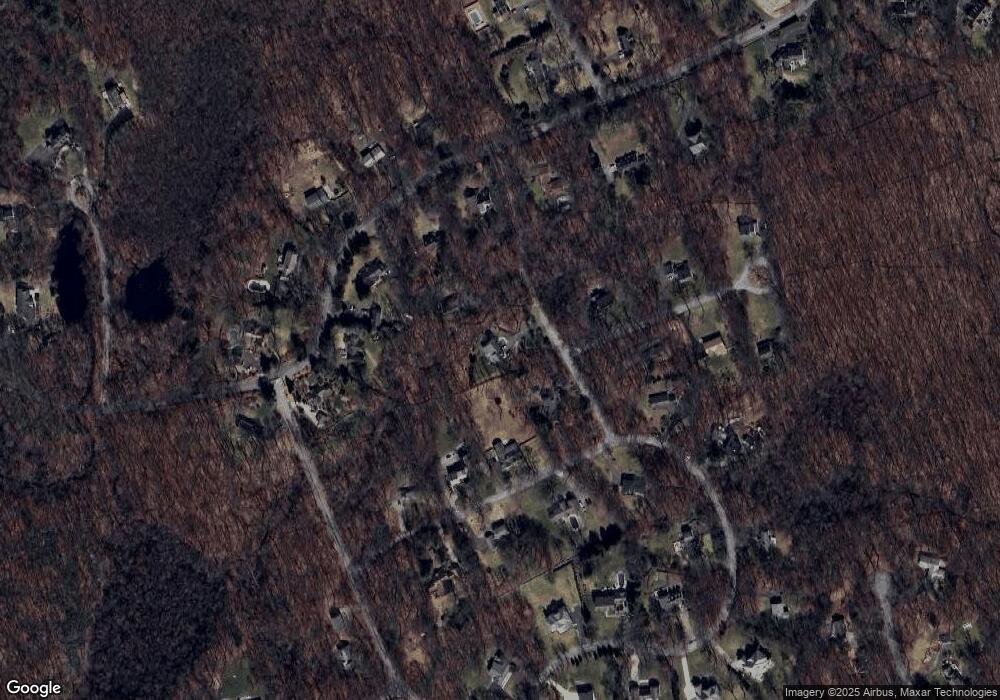
Map
Nearby Homes
- 178 Linden Tree Rd
- 109 Signal Hill Rd
- 792 N Wilton Rd
- 26 Ledgewood Dr
- 1 Canaan Cir
- 45 Ledgewood Dr
- 20 Pheasant Run Rd
- 245 Benedict Hill Rd
- 330 Ridgefield Rd
- 44 Benedict Hill Rd
- 360 Thayer Pond Rd
- 531L N Wilton Rd
- 533L N Wilton Rd
- 469L N Wilton Rd
- 469, 531,533 N Wilton Rd
- 88 Drum Hill Rd
- 33 Middlebrook Farm Rd
- 55 Tanners Dr
- 30 Wild Duck Rd
- 14 Tanners Dr
Your Personal Tour Guide
Ask me questions while you tour the home.