21 Crystal Lake Dr Sudbury, MA 01776
Estimated Value: $392,000 - $563,000
1
Bed
1
Bath
662
Sq Ft
$733/Sq Ft
Est. Value
About This Home
This home is located at 21 Crystal Lake Dr, Sudbury, MA 01776 and is currently estimated at $485,073, approximately $732 per square foot. 21 Crystal Lake Dr is a home located in Middlesex County with nearby schools including Peter Noyes Elementary School, Ephraim Curtis Middle School, and Lincoln-Sudbury Regional High School.
Ownership History
Date
Name
Owned For
Owner Type
Purchase Details
Closed on
Feb 6, 1997
Sold by
Stearns Eleanor A
Bought by
Stearns Kenneth
Current Estimated Value
Home Financials for this Owner
Home Financials are based on the most recent Mortgage that was taken out on this home.
Original Mortgage
$93,000
Outstanding Balance
$10,523
Interest Rate
7.57%
Mortgage Type
Purchase Money Mortgage
Estimated Equity
$474,550
Create a Home Valuation Report for This Property
The Home Valuation Report is an in-depth analysis detailing your home's value as well as a comparison with similar homes in the area
Home Values in the Area
Average Home Value in this Area
Purchase History
| Date | Buyer | Sale Price | Title Company |
|---|---|---|---|
| Stearns Kenneth | $98,000 | -- |
Source: Public Records
Mortgage History
| Date | Status | Borrower | Loan Amount |
|---|---|---|---|
| Open | Stearns Kenneth | $93,000 |
Source: Public Records
Tax History Compared to Growth
Tax History
| Year | Tax Paid | Tax Assessment Tax Assessment Total Assessment is a certain percentage of the fair market value that is determined by local assessors to be the total taxable value of land and additions on the property. | Land | Improvement |
|---|---|---|---|---|
| 2025 | $6,079 | $415,200 | $323,800 | $91,400 |
| 2024 | $5,870 | $401,800 | $314,300 | $87,500 |
| 2023 | $6,018 | $381,600 | $302,000 | $79,600 |
| 2022 | $6,130 | $339,600 | $277,200 | $62,400 |
| 2021 | $6,178 | $328,100 | $277,200 | $50,900 |
| 2020 | $6,053 | $328,100 | $277,200 | $50,900 |
| 2019 | $5,876 | $328,100 | $277,200 | $50,900 |
| 2018 | $5,816 | $324,400 | $268,700 | $55,700 |
| 2017 | $5,695 | $321,000 | $266,000 | $55,000 |
| 2016 | $5,507 | $309,400 | $255,800 | $53,600 |
| 2015 | $5,232 | $297,300 | $257,900 | $39,400 |
| 2014 | $5,211 | $289,000 | $250,300 | $38,700 |
Source: Public Records
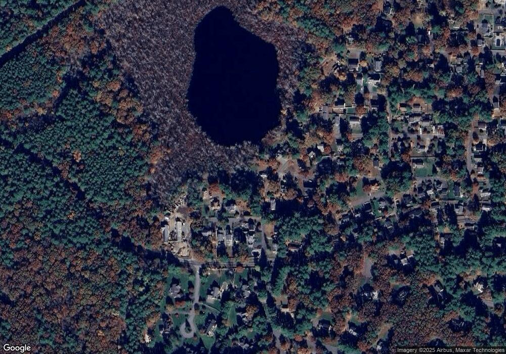
Map
Nearby Homes
- 21 Summer St
- 47 Fairbank Rd
- 4 Elderberry Cir
- 788 Main St
- 54 Phillips Rd
- 786 Main St
- 10 Shoreline Dr Unit 12
- 8 Shoreline Dr Unit 11
- 14 Old County Rd Unit 21
- 3 Shore Line Dr Unit 15
- 34 Hallock Point Rd
- 10 Old County Rd Unit 19
- Stockbridge South Shore Plan at Lakemont by Toll Brothers
- 36 Old Forge Ln
- 1 Town Line Rd
- 1 Town Line Rd Unit 18
- 12 Town Line Rd Unit 6
- 10 Town Line Rd Unit 5
- 8 Town Line Rd Unit 4
- 7 Saddle Ridge Rd
- 75 Pinewood Ave
- 27 Crystal Lake Dr
- 14 Crystal Lake Dr
- 22 Crystal Lake Dr
- 44 Maplewood Ave
- 69 Pinewood Ave
- 30 Maplewood Ave
- 28 Crystal Lake Dr
- 28 Maplewood Ave
- 9 Crystal Lake Dr
- 35 Crystal Lake Dr
- 48 Maplewood Ave
- 66 Pinewood Ave
- 26 Maplewood Ave
- 73 Beechwood Ave
- 568 Hudson Rd
- 7 Crystal Lake Dr
- 20 Maplewood Ave
- 41 Maplewood Ave
- 43 Maplewood Ave Unit 1