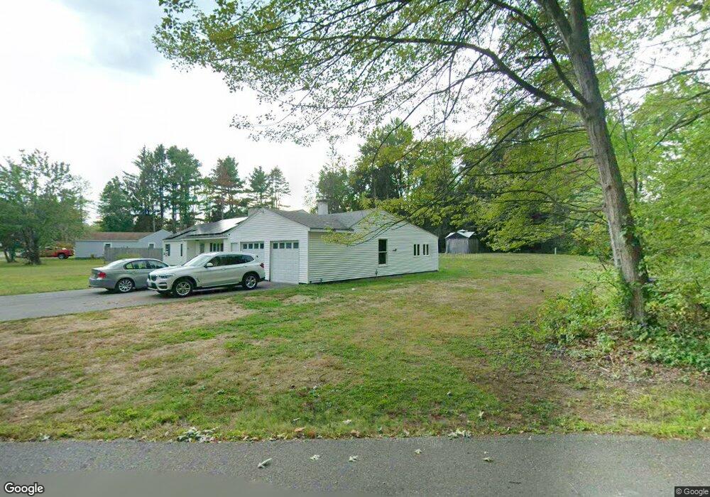
21 Cushing Ln Lunenburg, MA 01462
Estimated Value: $739,966 - $1,116,000
3
Beds
3
Baths
3,310
Sq Ft
$256/Sq Ft
Est. Value
About This Home
This home is located at 21 Cushing Ln, Lunenburg, MA 01462 and is currently estimated at $847,992, approximately $256 per square foot. 21 Cushing Ln is a home located in Worcester County with nearby schools including Lunenburg Primary School, Lunenburg High School, and St Bernards Elementary School.
Ownership History
Date
Name
Owned For
Owner Type
Purchase Details
Closed on
Jun 6, 1995
Sold by
Sauvageau Michael J and Sauvageau Gina
Bought by
Markham Timothy R and Markham Marion
Current Estimated Value
Create a Home Valuation Report for This Property
The Home Valuation Report is an in-depth analysis detailing your home's value as well as a comparison with similar homes in the area
Home Values in the Area
Average Home Value in this Area
Purchase History
| Date | Buyer | Sale Price | Title Company |
|---|---|---|---|
| Markham Timothy R | $236,000 | -- |
Source: Public Records
Mortgage History
| Date | Status | Borrower | Loan Amount |
|---|---|---|---|
| Previous Owner | Markham Timothy R | $84,000 | |
| Previous Owner | Markham Timothy R | $66,000 | |
| Previous Owner | Markham Timothy R | $30,000 |
Source: Public Records
Tax History
| Year | Tax Paid | Tax Assessment Tax Assessment Total Assessment is a certain percentage of the fair market value that is determined by local assessors to be the total taxable value of land and additions on the property. | Land | Improvement |
|---|---|---|---|---|
| 2025 | $9,528 | $663,500 | $156,700 | $506,800 |
| 2024 | $9,142 | $648,400 | $147,900 | $500,500 |
| 2023 | $8,689 | $594,300 | $134,200 | $460,100 |
| 2022 | $8,267 | $480,900 | $111,800 | $369,100 |
| 2020 | $7,812 | $431,100 | $111,800 | $319,300 |
| 2019 | $7,392 | $395,700 | $105,400 | $290,300 |
| 2018 | $7,411 | $376,200 | $96,500 | $279,700 |
| 2017 | $7,029 | $351,800 | $92,400 | $259,400 |
| 2016 | $6,581 | $335,600 | $88,000 | $247,600 |
| 2015 | $5,989 | $326,900 | $83,600 | $243,300 |
Source: Public Records
Map
Nearby Homes
- 63 Holman St
- 319 Highland St
- 36 Gilchrest St
- 35 Leominster Rd
- 711 Massachusetts Ave Unit 2
- 91 Valley Rd
- 80 W Townsend Rd
- 756 Northfield Rd
- 167 S Row Rd
- 222 W Townsend Rd
- 50 Old Farm Rd
- 92 Prospect St
- 77 Electric Ave
- 507/533R W Townsend Rd
- 365 Hollis Rd
- 12 W Townsend Rd
- 370 W Townsend Rd
- 2 Gabes Place
- 70 Laurel Ln Unit 1
- 72 Laurel Ln Unit 2
- 73 Turkey Hill Rd
- 65 Turkey Hill Rd
- 81 Turkey Hill Rd
- 23 Cushing Ln
- 91 Turkey Hill Rd
- 55 Turkey Hill Rd
- 49 Turkey Hill Rd
- 101 Turkey Hill Rd
- 70 Turkey Hill Rd
- 60 Turkey Hill Rd
- 43 Turkey Hill Rd
- 31 Cushing Ln
- 111 Turkey Hill Rd
- 109 Oak Ave
- 22 Cushing Ln
- 37 Turkey Hill Rd
- 112 Turkey Hill Rd
- 40 Turkey Hill Rd
- 74 Highland St
- 225 Northfield Rd
Your Personal Tour Guide
Ask me questions while you tour the home.