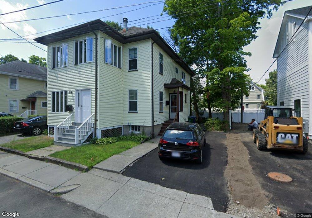
21 Dale St Unit 23 Newtonville, MA 02460
Newtonville NeighborhoodEstimated Value: $1,274,883 - $1,482,000
2
Beds
1
Bath
9,999
Sq Ft
$138/Sq Ft
Est. Value
About This Home
This home is located at 21 Dale St Unit 23, Newtonville, MA 02460 and is currently estimated at $1,375,721, approximately $137 per square foot. 21 Dale St Unit 23 is a home located in Middlesex County with nearby schools including Cabot Elementary School, F.A. Day Middle School, and Newton North High School.
Ownership History
Date
Name
Owned For
Owner Type
Purchase Details
Closed on
Dec 1, 1986
Bought by
Omalley Paul G
Current Estimated Value
Create a Home Valuation Report for This Property
The Home Valuation Report is an in-depth analysis detailing your home's value as well as a comparison with similar homes in the area
Home Values in the Area
Average Home Value in this Area
Purchase History
| Date | Buyer | Sale Price | Title Company |
|---|---|---|---|
| Omalley Paul G | $230,000 | -- |
Source: Public Records
Mortgage History
| Date | Status | Borrower | Loan Amount |
|---|---|---|---|
| Open | Omalley Paul G | $86,983 | |
| Open | Omalley Paul G | $157,000 | |
| Closed | Omalley Paul G | $142,000 |
Source: Public Records
Tax History Compared to Growth
Tax History
| Year | Tax Paid | Tax Assessment Tax Assessment Total Assessment is a certain percentage of the fair market value that is determined by local assessors to be the total taxable value of land and additions on the property. | Land | Improvement |
|---|---|---|---|---|
| 2025 | $10,416 | $1,062,900 | $800,500 | $262,400 |
| 2024 | $10,071 | $1,031,900 | $777,200 | $254,700 |
| 2023 | $9,618 | $944,800 | $616,400 | $328,400 |
| 2022 | $9,203 | $874,800 | $570,700 | $304,100 |
| 2021 | $8,636 | $802,600 | $523,600 | $279,000 |
| 2020 | $8,379 | $802,600 | $523,600 | $279,000 |
| 2019 | $7,839 | $750,100 | $489,300 | $260,800 |
| 2018 | $7,760 | $717,200 | $461,600 | $255,600 |
| 2017 | $7,317 | $658,000 | $423,500 | $234,500 |
| 2016 | $6,870 | $603,700 | $388,500 | $215,200 |
| 2015 | $6,550 | $564,200 | $363,100 | $201,100 |
Source: Public Records
Map
Nearby Homes
- 300 Cabot St
- 10 Washington Park
- 10 Washington Park Unit 2
- 10 Washington Park Unit 1
- 110 Harvard St Unit A
- 48 Harvard St Unit 1
- 44 Blake St Unit 2
- 127-129 Withington Rd Unit 1
- 22 Walnut Place Unit 1
- 77 Court St Unit 205
- 911 Washington St
- 230 Bellevue St Unit 1
- 935 Washington St Unit 8
- 168 Walnut St
- 957 Washington St Unit 1
- 22-24 Emerald St
- 3 Cedar St
- 324 Adams St Unit 2
- 32-34 Rossmere St
- 42-44 Judkins St
- 21 Dale St Unit 2
- 297 Cabot St
- 27 Dale St
- 15 Dale St
- 299 Cabot St Unit 299
- 299 Cabot St Unit 1
- 17 Dale St Unit 17
- 26 Dale St
- 19 Simpson Terrace
- 24 Dale St
- 303 Cabot St
- 303 Cabot St Unit 303
- 301 Cabot St
- 14 Cloelia Terrace Unit 1
- 14 Cloelia Terrace
- 12 Cloelia Terrace Unit 14
- 12 Cloelia Terrace
- 9 Simpson Terrace Unit 11
- 279 Cabot St
- 20 Cloelia Terrace