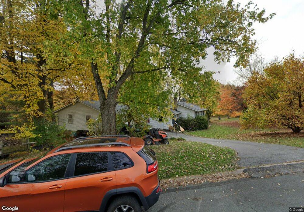
21 Denby Dr Sykesville, MD 21784
Estimated Value: $439,865 - $512,000
--
Bed
1
Bath
1,372
Sq Ft
$353/Sq Ft
Est. Value
About This Home
This home is located at 21 Denby Dr, Sykesville, MD 21784 and is currently estimated at $484,216, approximately $352 per square foot. 21 Denby Dr is a home located in Carroll County with nearby schools including Linton Springs Elementary School, Sykesville Middle School, and Century High School.
Ownership History
Date
Name
Owned For
Owner Type
Purchase Details
Closed on
Dec 18, 2001
Sold by
Lewis Larry T
Bought by
Johnson Jeffrey T and Johnson Cynthia L
Current Estimated Value
Purchase Details
Closed on
Apr 14, 1987
Sold by
Gross Virginia Ann
Bought by
Lewis Larry T
Home Financials for this Owner
Home Financials are based on the most recent Mortgage that was taken out on this home.
Original Mortgage
$70,000
Interest Rate
9.43%
Create a Home Valuation Report for This Property
The Home Valuation Report is an in-depth analysis detailing your home's value as well as a comparison with similar homes in the area
Home Values in the Area
Average Home Value in this Area
Purchase History
| Date | Buyer | Sale Price | Title Company |
|---|---|---|---|
| Johnson Jeffrey T | $194,500 | -- | |
| Lewis Larry T | $105,000 | -- |
Source: Public Records
Mortgage History
| Date | Status | Borrower | Loan Amount |
|---|---|---|---|
| Previous Owner | Lewis Larry T | $70,000 |
Source: Public Records
Tax History Compared to Growth
Tax History
| Year | Tax Paid | Tax Assessment Tax Assessment Total Assessment is a certain percentage of the fair market value that is determined by local assessors to be the total taxable value of land and additions on the property. | Land | Improvement |
|---|---|---|---|---|
| 2025 | $4,006 | $374,767 | $0 | $0 |
| 2024 | $4,006 | $352,400 | $179,000 | $173,400 |
| 2023 | $3,878 | $340,933 | $0 | $0 |
| 2022 | $3,749 | $329,467 | $0 | $0 |
| 2021 | $7,427 | $318,000 | $158,000 | $160,000 |
| 2020 | $3,577 | $311,233 | $0 | $0 |
| 2019 | $3,500 | $304,467 | $0 | $0 |
| 2018 | $3,394 | $297,700 | $147,900 | $149,800 |
| 2017 | $3,322 | $291,333 | $0 | $0 |
| 2016 | -- | $284,967 | $0 | $0 |
| 2015 | -- | $278,600 | $0 | $0 |
| 2014 | -- | $276,633 | $0 | $0 |
Source: Public Records
Map
Nearby Homes
- 6912 Stratford Dr
- 7131 Carmae Rd
- 6751 White Rock Rd
- 7152 Harlan Ln
- 492 Hawkridge Ln
- 0 Gaither Rd Unit MDCR2029198
- 608 Angus Dr
- 7579 Braemar Ct
- 599 Gaither Rd
- 7409 Spout Hill Rd
- 7202 Conley Alley
- 577 Johnsville Rd
- 1103 Cape Ct
- 707 Old Liberty Rd
- 7330 Woodbine Rd
- 224 Old Liberty Rd
- 0 Johnsville Rd Unit MDCR2020412
- 5530 Jim Pickett Rd
- 1525 Fannie Dorsey Rd
- 42 Liberty Rd Unit C
- 7003 Bristol Place
- 25 Denby Dr
- 6911 Sheffield Dr
- 11 Denby Dr
- 22 Denby Dr
- 7004 Bristol Place
- 7002 Bristol Place
- 6907 Sheffield Dr
- 6912 Sheffield Dr
- 7005 Bristol Place
- 24 Denby Dr
- 7006 Bristol Place
- 6905 Sheffield Dr
- 6919 Stratford Dr
- 6910 Sheffield Dr
- 6921 Stratford Dr
- 7007 Bristol Place
- 6923 Stratford Dr
- 6917 Stratford Dr
- 7008 Bristol Place