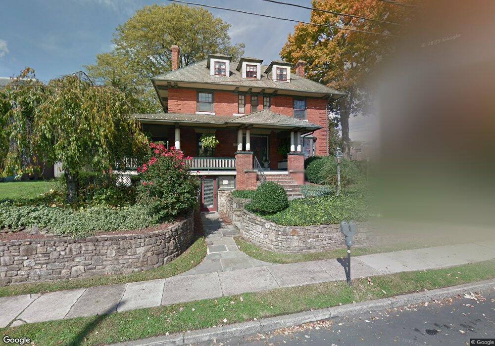
21 E Ashland St Unit 2 Doylestown, PA 18901
Estimated Value: $1,175,336 - $1,724,000
1
Bed
1
Bath
1
Sq Ft
$1,476,445/Sq Ft
Est. Value
About This Home
This home is located at 21 E Ashland St Unit 2, Doylestown, PA 18901 and is currently estimated at $1,476,445, approximately $1,476,445 per square foot. 21 E Ashland St Unit 2 is a home located in Bucks County with nearby schools including Linden El School, Lenape Middle School, and Central Bucks High School-West.
Ownership History
Date
Name
Owned For
Owner Type
Purchase Details
Closed on
Mar 12, 2020
Sold by
Hering Keith R and Hering Colette
Bought by
Trinkley Craig S and Trinkley Amy L
Current Estimated Value
Purchase Details
Closed on
Feb 10, 2003
Sold by
Spe Hering Llc
Bought by
Hering C Robert and Hering Diane M
Purchase Details
Closed on
Oct 3, 2002
Sold by
Wetherill Jean F
Bought by
Spe Hering Llc
Home Financials for this Owner
Home Financials are based on the most recent Mortgage that was taken out on this home.
Original Mortgage
$760,000
Interest Rate
6.24%
Create a Home Valuation Report for This Property
The Home Valuation Report is an in-depth analysis detailing your home's value as well as a comparison with similar homes in the area
Home Values in the Area
Average Home Value in this Area
Purchase History
| Date | Buyer | Sale Price | Title Company |
|---|---|---|---|
| Trinkley Craig S | $1,170,500 | Sage Premier Settlement | |
| Hering C Robert | -- | -- | |
| Spe Hering Llc | $760,000 | -- |
Source: Public Records
Mortgage History
| Date | Status | Borrower | Loan Amount |
|---|---|---|---|
| Previous Owner | Spe Hering Llc | $760,000 |
Source: Public Records
Tax History
| Year | Tax Paid | Tax Assessment Tax Assessment Total Assessment is a certain percentage of the fair market value that is determined by local assessors to be the total taxable value of land and additions on the property. | Land | Improvement |
|---|---|---|---|---|
| 2025 | $7,494 | $41,600 | $6,520 | $35,080 |
| 2024 | $7,494 | $41,600 | $6,520 | $35,080 |
| 2023 | $7,140 | $41,600 | $6,520 | $35,080 |
| 2022 | $7,041 | $41,600 | $6,520 | $35,080 |
| 2021 | $6,963 | $41,600 | $6,520 | $35,080 |
| 2020 | $6,887 | $41,600 | $6,520 | $35,080 |
| 2019 | $6,811 | $41,600 | $6,520 | $35,080 |
| 2018 | $6,728 | $41,600 | $6,520 | $35,080 |
| 2017 | $6,657 | $41,600 | $6,520 | $35,080 |
| 2016 | $6,657 | $41,600 | $6,520 | $35,080 |
| 2015 | -- | $41,600 | $6,520 | $35,080 |
| 2014 | -- | $41,600 | $6,520 | $35,080 |
Source: Public Records
Map
Nearby Homes
- 69 E Oakland Ave
- 110 E Ashland St
- 155 E Oakland Ave
- 146 E Court St
- 169 N Main St
- 150 Selner Ln
- 195 Lafayette St
- 102 Clear Springs Ct
- 215 N Franklin St
- 400 W Court St
- 11-13 Aspen Way Unit 1113
- 9 Maple Ln
- 9 Mill Creek Dr
- 6 Edison Ln Unit 1
- 112 Steeplechase Dr
- 2401 Lower State Rd Unit 102
- 807 N Broad St
- 78 Tower Hill Rd
- 5 Belmont Square
- 45 Latham Ct Unit 45
- 21 E Ashland St Unit B
- 21 E Ashland St
- 81 S Main St
- 33 E Ashland St
- 71 S Main St
- 7 Taylor Ave
- 39 E Ashland St
- 24 Taylor Ave Unit 24B
- 36 Taylor Ave
- 62 S Main St
- 64 S Main St Unit . 1
- 64 S Main St Unit . 3
- 64 S Main St Unit 1
- 64 S Main St Unit 3
- 64 S Main St
- 57 S Main St
- 38 Taylor Ave
- 23 Taylor Ave
- 25 Taylor Ave
- 68 S Main St Unit . 3