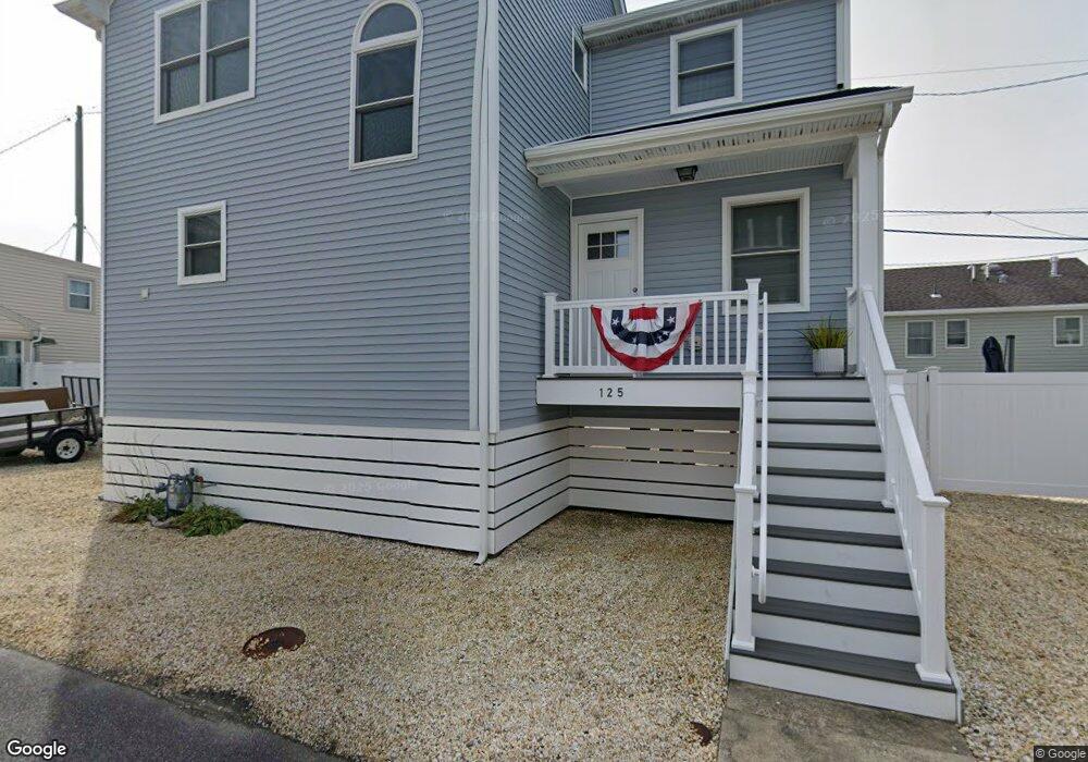
21 E Colony Rd Lavallette, NJ 08735
Dover Beaches North NeighborhoodEstimated Value: $1,115,704 - $1,517,000
4
Beds
2
Baths
2,037
Sq Ft
$641/Sq Ft
Est. Value
About This Home
This home is located at 21 E Colony Rd, Lavallette, NJ 08735 and is currently estimated at $1,306,426, approximately $641 per square foot. 21 E Colony Rd is a home located in Ocean County.
Ownership History
Date
Name
Owned For
Owner Type
Purchase Details
Closed on
Apr 21, 2023
Sold by
Stabile Patianne
Bought by
Stabile Leonard and Stabile Patianne
Current Estimated Value
Purchase Details
Closed on
Mar 10, 1998
Sold by
Monaco Michael S and Monaco Bettina
Bought by
Federal National Mortgage Association
Create a Home Valuation Report for This Property
The Home Valuation Report is an in-depth analysis detailing your home's value as well as a comparison with similar homes in the area
Home Values in the Area
Average Home Value in this Area
Purchase History
| Date | Buyer | Sale Price | Title Company |
|---|---|---|---|
| Stabile Leonard | $725,000 | First American Title | |
| Stabile Leonard | $725,000 | First American Title | |
| Federal National Mortgage Association | -- | -- |
Source: Public Records
Tax History
| Year | Tax Paid | Tax Assessment Tax Assessment Total Assessment is a certain percentage of the fair market value that is determined by local assessors to be the total taxable value of land and additions on the property. | Land | Improvement |
|---|---|---|---|---|
| 2025 | $12,305 | $675,700 | $470,000 | $205,700 |
| 2024 | $11,696 | $675,700 | $470,000 | $205,700 |
Source: Public Records
Map
Nearby Homes
- 53 E Bay Way
- 155 W Atlantic Way
- 109 W Tarpon Way
- 170 W Beach Way
- 111 W Marlin Way
- 34 E Crane Way
- 348 Venice Dr
- 100 3rd Ave
- 20 E Bonita Way
- 33 E Penguin Way
- 417 Delray Dr
- 201 5th Ave
- 545 New Jersey 35
- 254 Harbor Ct
- 354 Naples Ct
- 3201 Route 35 N Unit B
- 459 Boca Raton Dr
- 21 E Dune Way Unit 121
- 351 W Bayview Dr
- 201 Mallard Ln
Your Personal Tour Guide
Ask me questions while you tour the home.