Estimated Value: $630,256 - $712,000
3
Beds
3
Baths
2,145
Sq Ft
$311/Sq Ft
Est. Value
About This Home
This home is located at 21 E Dorothy Ct, Union, WA 98592 and is currently estimated at $667,814, approximately $311 per square foot. 21 E Dorothy Ct is a home located in Mason County with nearby schools including Hood Canal Elementary/Junior High School.
Ownership History
Date
Name
Owned For
Owner Type
Purchase Details
Closed on
Jan 2, 2021
Sold by
Stamper Terri J
Bought by
Terri Jean Stamper And Gail Kendall Stamper R
Current Estimated Value
Home Financials for this Owner
Home Financials are based on the most recent Mortgage that was taken out on this home.
Original Mortgage
$113,800
Interest Rate
6.95%
Mortgage Type
Balloon
Purchase Details
Closed on
Apr 25, 2018
Sold by
Stamper Terri J and Stamper Gail K
Bought by
Stamper Terri J and Stamper Gail K
Purchase Details
Closed on
Mar 30, 2017
Sold by
Midwinter Cynthia K and Heflick David M
Bought by
Stamper Terri J and Stamper Gail K
Home Financials for this Owner
Home Financials are based on the most recent Mortgage that was taken out on this home.
Original Mortgage
$259,950
Interest Rate
4.15%
Mortgage Type
Seller Take Back
Create a Home Valuation Report for This Property
The Home Valuation Report is an in-depth analysis detailing your home's value as well as a comparison with similar homes in the area
Purchase History
| Date | Buyer | Sale Price | Title Company |
|---|---|---|---|
| Terri Jean Stamper And Gail Kendall Stamper R | -- | -- | |
| Stamper Terri J | -- | -- | |
| Stamper Terri J | -- | None Available | |
| Stamper Terri J | $284,950 | Mason County Title Co |
Source: Public Records
Mortgage History
| Date | Status | Borrower | Loan Amount |
|---|---|---|---|
| Previous Owner | Stamper Terri J | $113,800 | |
| Previous Owner | Stamper Terri J | $259,950 |
Source: Public Records
Tax History
| Year | Tax Paid | Tax Assessment Tax Assessment Total Assessment is a certain percentage of the fair market value that is determined by local assessors to be the total taxable value of land and additions on the property. | Land | Improvement |
|---|---|---|---|---|
| 2025 | $4,463 | $637,490 | $47,585 | $589,905 |
| 2023 | $4,463 | $641,890 | $29,650 | $612,240 |
| 2022 | $4,570 | $498,980 | $9,150 | $489,830 |
| 2021 | $4,136 | $498,980 | $9,150 | $489,830 |
| 2020 | $4,267 | $403,385 | $5,230 | $398,155 |
| 2018 | $3,016 | $286,835 | $45,595 | $241,240 |
| 2017 | $2,936 | $286,925 | $45,685 | $241,240 |
| 2016 | $3,010 | $292,820 | $43,285 | $249,535 |
| 2015 | $3,073 | $307,905 | $45,685 | $262,220 |
| 2014 | -- | $310,310 | $48,090 | $262,220 |
| 2013 | -- | $376,995 | $114,775 | $262,220 |
Source: Public Records
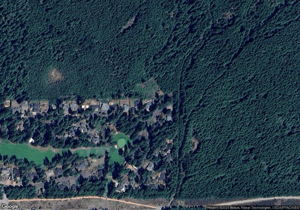
Map
Nearby Homes
- 11 E Betty jo Ct
- 31 E Westwood Ln E
- 40 E Susan Ct
- 140 E Westwood Ln E
- 530 E Country Club Dr E
- 50 E Blackberry Ln
- 33 E Michelle Ct
- 230 E Blackberry Ln
- 21 E Eastwood Ln
- 50 E Eastwood Ln
- 231 E Blackberry Ln
- 1190 E Manzanita Dr
- 1031 E Manzanita Dr
- 280 E Laurel Park
- 121 E Country Club Dr E
- 350 E Vine Maple Ln
- 91 E Jack Pine Ln
- 50 E Laurel Park
- 30 E Hemlock Ln
- 341 E Olympic Vista Dr
- 801 E Country Club Dr E
- 41 E Dorothy Ct
- 20 E Dorothy Ct
- 40 E Dorothy Ct
- 30 E Dorothy Ct
- 820 E Country Club Dr E
- 850 E Country Club Dr E
- 790 E Country Club Dr E
- 771 E Country Club Dr E
- 861 E Country Club Dr E
- 770 E Country Club Dr E
- 751 E Country Club Dr E
- 880 E Country Club Dr E
- 881 E Country Club Dr E
- 871 E Country Club Dr E
- 900 E Country Club Dr E
- 741 E Country Club Dr E
- 30 E Margaret Ct
- 731 E Country Club Dr E
- 920 E Country Club Dr E
Your Personal Tour Guide
Ask me questions while you tour the home.