21 E Shore Trail Sandyston, NJ 07826
Estimated Value: $178,000 - $310,000
Studio
--
Bath
756
Sq Ft
$340/Sq Ft
Est. Value
About This Home
This home is located at 21 E Shore Trail, Sandyston, NJ 07826 and is currently estimated at $257,417, approximately $340 per square foot. 21 E Shore Trail is a home located in Sussex County with nearby schools including Sandyston-Walpack Consolidated School and Kittatinny Regional High School.
Ownership History
Date
Name
Owned For
Owner Type
Purchase Details
Closed on
Jan 19, 2001
Sold by
Romaine Stephen J and Robin Romaine G
Bought by
Rawson James D
Current Estimated Value
Home Financials for this Owner
Home Financials are based on the most recent Mortgage that was taken out on this home.
Original Mortgage
$84,000
Outstanding Balance
$30,656
Interest Rate
7.39%
Mortgage Type
VA
Estimated Equity
$226,761
Purchase Details
Closed on
Nov 29, 1999
Sold by
Spaulding David and Spaulding Olha
Bought by
Hud
Purchase Details
Closed on
Aug 26, 1996
Sold by
Erickson Wilhelm Alvar and Erickson Myrtle A
Bought by
Spaulding David and Spaulding Olha
Home Financials for this Owner
Home Financials are based on the most recent Mortgage that was taken out on this home.
Original Mortgage
$75,800
Interest Rate
8.18%
Mortgage Type
FHA
Create a Home Valuation Report for This Property
The Home Valuation Report is an in-depth analysis detailing your home's value as well as a comparison with similar homes in the area
Home Values in the Area
Average Home Value in this Area
Purchase History
| Date | Buyer | Sale Price | Title Company |
|---|---|---|---|
| Rawson James D | $84,000 | Commonwealth Land Title Ins | |
| Hud | -- | -- | |
| Spaulding David | $68,000 | Commonwealth Land Title Ins |
Source: Public Records
Mortgage History
| Date | Status | Borrower | Loan Amount |
|---|---|---|---|
| Open | Rawson James D | $84,000 | |
| Previous Owner | Spaulding David | $75,800 |
Source: Public Records
Tax History
| Year | Tax Paid | Tax Assessment Tax Assessment Total Assessment is a certain percentage of the fair market value that is determined by local assessors to be the total taxable value of land and additions on the property. | Land | Improvement |
|---|---|---|---|---|
| 2025 | $3,675 | $116,300 | $60,500 | $55,800 |
| 2024 | $3,563 | $116,300 | $60,500 | $55,800 |
Source: Public Records
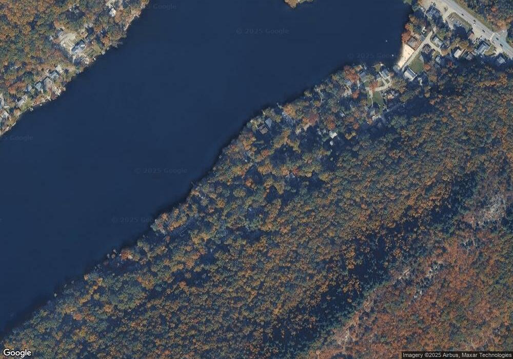
Map
Nearby Homes
- 38 Mountain Trail
- 56 E Shore Trail
- 4 Lake Path 1
- 9 Woods Rd
- 422 U S Highway 206
- 4 Henry St
- 46 Myrtle Ave
- 196 W Owassa Turnpike
- 19 E Shore Lake Owassa Rd
- 61 E Shore Lake Owassa Rd
- 56 Plumer Rd
- 30 & 31 E Shore Culver Rd
- 127 E Shore Culver Rd
- 51 E Shore Lake Owassa Rd
- 10 Lakewood Trail
- 239 E Shore Lake Owassa Rd
- 7 Stempert Rd
- 17 Stempert Rd
- 120 Ridge Rd
- 66 Route 560
- 23 E Shore Trail
- 30 Mountain Trail
- 28 Mountain Trail
- 32 E Shore Trail
- 32 Mountain Trail
- 26 Mountain Trail
- 30 E Shore Trail
- 36 E Shore Trail
- 25 Mountain Trail
- 17 E Shore Trail
- 23 Mountain Trail
- 28 E Shore Trail
- 26 E Shore Trail
- 38 E Shore Trail
- 29 E Shore Trail
- 21 Mountain Trail
- 36 Mountain Trail
- 15 E Shore Trail
- 24 E Shore Trail
- 13 E Shore Trail
Your Personal Tour Guide
Ask me questions while you tour the home.