Estimated Value: $578,000 - $632,896
3
Beds
2
Baths
1,560
Sq Ft
$392/Sq Ft
Est. Value
About This Home
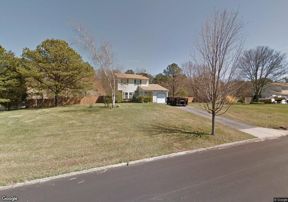
This home is located at 21 Eason Dr, Ridge, NY 11961 and is currently estimated at $611,224, approximately $391 per square foot. 21 Eason Dr is a home located in Suffolk County with nearby schools including Longwood Junior High School, Longwood Middle School, and Longwood Senior High School.
Ownership History
Date
Name
Owned For
Owner Type
Purchase Details
Closed on
Mar 22, 2012
Sold by
Wells William
Bought by
Neff Christopher and Cervone Samantha
Current Estimated Value
Home Financials for this Owner
Home Financials are based on the most recent Mortgage that was taken out on this home.
Original Mortgage
$209,549
Outstanding Balance
$145,488
Interest Rate
4.4%
Mortgage Type
FHA
Estimated Equity
$465,736
Purchase Details
Closed on
Jul 13, 2001
Sold by
Jennison Richard Kevin
Bought by
Wells William
Home Financials for this Owner
Home Financials are based on the most recent Mortgage that was taken out on this home.
Original Mortgage
$211,678
Interest Rate
7.2%
Mortgage Type
FHA
Purchase Details
Closed on
Aug 27, 1997
Sold by
Kirchner Terence and Kirchner Pamela A
Bought by
Jennison Richard Kevin
Create a Home Valuation Report for This Property
The Home Valuation Report is an in-depth analysis detailing your home's value as well as a comparison with similar homes in the area
Home Values in the Area
Average Home Value in this Area
Purchase History
| Date | Buyer | Sale Price | Title Company |
|---|---|---|---|
| Neff Christopher | $215,000 | Pde Title Services Llc | |
| Wells William | $215,000 | Fidelity National Title Ins | |
| Jennison Richard Kevin | $134,000 | Fidelity National Title Ins |
Source: Public Records
Mortgage History
| Date | Status | Borrower | Loan Amount |
|---|---|---|---|
| Open | Neff Christopher | $209,549 | |
| Previous Owner | Wells William | $211,678 |
Source: Public Records
Tax History
| Year | Tax Paid | Tax Assessment Tax Assessment Total Assessment is a certain percentage of the fair market value that is determined by local assessors to be the total taxable value of land and additions on the property. | Land | Improvement |
|---|---|---|---|---|
| 2022 | $8,679 | $2,500 | $325 | $2,175 |
| 2021 | $8,679 | $2,500 | $325 | $2,175 |
| 2020 | $9,401 | $2,500 | $325 | $2,175 |
| 2019 | $9,401 | $0 | $0 | $0 |
Source: Public Records
Map
Nearby Homes
- 7 Sander Ct
- 12 Fox Run Ct
- 36 Fox Run Ct
- 4 Cardinal Ct
- 3 Cardinal Ct
- 85 Smith Rd
- 7 Brittany Ct
- 17 Rolling Hills Dr
- 181 Wading River Hollow Rd
- 1 A Jamestown Ct
- 6 Shelley Dr
- 11 Wildwood Rd
- 8 Shelley Ct
- 266 Lake Pointe Cir
- 83 Gauguin Ct Unit 83
- 92 Gauguin Ct Unit 92
- 227 Lake Pointe Cir
- 618 Lake Ct
- 605 Lake Ct Unit 605
- 617 Lake Ct Unit 617
Your Personal Tour Guide
Ask me questions while you tour the home.