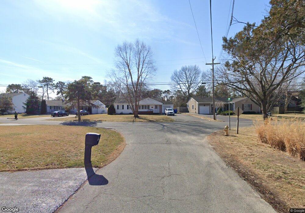
21 Eastham Ln Point Pleasant Beach, NJ 08742
Estimated Value: $644,079 - $711,000
2
Beds
2
Baths
2,240
Sq Ft
$300/Sq Ft
Est. Value
About This Home
This home is located at 21 Eastham Ln, Point Pleasant Beach, NJ 08742 and is currently estimated at $672,020, approximately $300 per square foot. 21 Eastham Ln is a home located in Ocean County with nearby schools including Midstreams Elementary School, Veterans Memorial Middle School, and Brick Township Memorial High School.
Ownership History
Date
Name
Owned For
Owner Type
Purchase Details
Closed on
Feb 9, 2006
Sold by
Geist Irene M and Geist Preston
Bought by
Mulligan Matthew T
Current Estimated Value
Home Financials for this Owner
Home Financials are based on the most recent Mortgage that was taken out on this home.
Original Mortgage
$265,000
Outstanding Balance
$149,450
Interest Rate
6.23%
Mortgage Type
Fannie Mae Freddie Mac
Estimated Equity
$522,571
Create a Home Valuation Report for This Property
The Home Valuation Report is an in-depth analysis detailing your home's value as well as a comparison with similar homes in the area
Home Values in the Area
Average Home Value in this Area
Purchase History
| Date | Buyer | Sale Price | Title Company |
|---|---|---|---|
| Mulligan Matthew T | $390,000 | None Available |
Source: Public Records
Mortgage History
| Date | Status | Borrower | Loan Amount |
|---|---|---|---|
| Open | Mulligan Matthew T | $265,000 |
Source: Public Records
Tax History Compared to Growth
Tax History
| Year | Tax Paid | Tax Assessment Tax Assessment Total Assessment is a certain percentage of the fair market value that is determined by local assessors to be the total taxable value of land and additions on the property. | Land | Improvement |
|---|---|---|---|---|
| 2025 | $7,782 | $297,600 | $167,000 | $130,600 |
| 2024 | $7,398 | $297,600 | $167,000 | $130,600 |
| 2023 | $7,300 | $297,600 | $167,000 | $130,600 |
| 2022 | $7,300 | $297,600 | $167,000 | $130,600 |
| 2021 | $7,151 | $297,600 | $167,000 | $130,600 |
| 2020 | $7,053 | $297,600 | $167,000 | $130,600 |
| 2019 | $6,916 | $297,600 | $167,000 | $130,600 |
| 2018 | $6,759 | $297,600 | $167,000 | $130,600 |
| 2017 | $6,577 | $297,600 | $167,000 | $130,600 |
| 2016 | $6,529 | $297,600 | $167,000 | $130,600 |
| 2015 | $6,357 | $297,600 | $167,000 | $130,600 |
| 2014 | $6,294 | $297,600 | $167,000 | $130,600 |
Source: Public Records
Map
Nearby Homes
- 17 Cedar Village Blvd
- 139 Walnut Dr
- 223 Pinetree Place
- 208 Giese Ln
- 2639 River Rd
- 669 Spiral Dr
- 506 Crestview Terrace
- 1015 Forrest Rd
- 1004 Cedar Ln
- 384 18th Ave
- 531 Oak Terrace
- 1012 Brainard Place
- 550 Crestview Terrace
- 3000 River Rd Unit 3000 & 3000A
- 389 Wilson Ct
- 528 Azalea Dr
- 405 17th Ave
- 3431 Bridge Ave Unit 9
- 931 Birch Dr
- 136 Lilac Dr