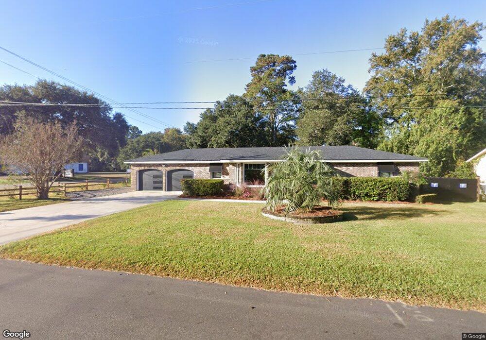
21 Edinburgh Rd Unit Rear Apt. Charleston, SC 29407
Sandhurst NeighborhoodEstimated Value: $598,000 - $710,000
1
Bed
1
Bath
650
Sq Ft
$991/Sq Ft
Est. Value
About This Home
This home is located at 21 Edinburgh Rd Unit Rear Apt., Charleston, SC 29407 and is currently estimated at $644,367, approximately $991 per square foot. 21 Edinburgh Rd Unit Rear Apt. is a home located in Charleston County with nearby schools including Springfield Elementary School, West Ashley High School, and Orange Grove Elementary Charter School.
Ownership History
Date
Name
Owned For
Owner Type
Purchase Details
Closed on
Dec 13, 2019
Sold by
Charleston Enterprise Group Llc
Bought by
May Keith Alan
Current Estimated Value
Home Financials for this Owner
Home Financials are based on the most recent Mortgage that was taken out on this home.
Original Mortgage
$315,000
Interest Rate
3.7%
Mortgage Type
Purchase Money Mortgage
Purchase Details
Closed on
Oct 10, 2018
Sold by
Rutledge Dorothy S and Rutledge Everard O
Bought by
Charleston Enterprise Group Llc
Purchase Details
Closed on
Dec 28, 2001
Sold by
Rutledge Dorothy S
Bought by
Rutledge Everard O
Purchase Details
Closed on
Dec 27, 2001
Sold by
Rutledge Oscar C
Bought by
Rutledge Dorothy S
Create a Home Valuation Report for This Property
The Home Valuation Report is an in-depth analysis detailing your home's value as well as a comparison with similar homes in the area
Home Values in the Area
Average Home Value in this Area
Purchase History
| Date | Buyer | Sale Price | Title Company |
|---|---|---|---|
| May Keith Alan | $350,000 | None Available | |
| Charleston Enterprise Group Llc | $245,000 | None Available | |
| Rutledge Everard O | -- | -- | |
| Rutledge Dorothy S | -- | -- |
Source: Public Records
Mortgage History
| Date | Status | Borrower | Loan Amount |
|---|---|---|---|
| Closed | May Keith Alan | $315,000 |
Source: Public Records
Tax History Compared to Growth
Tax History
| Year | Tax Paid | Tax Assessment Tax Assessment Total Assessment is a certain percentage of the fair market value that is determined by local assessors to be the total taxable value of land and additions on the property. | Land | Improvement |
|---|---|---|---|---|
| 2024 | $1,878 | $14,000 | $0 | $0 |
| 2023 | $1,878 | $14,000 | $0 | $0 |
| 2022 | $1,739 | $14,000 | $0 | $0 |
| 2021 | $1,823 | $14,000 | $0 | $0 |
| 2020 | $1,890 | $14,000 | $0 | $0 |
| 2019 | $4,092 | $9,800 | $0 | $0 |
| 2017 | $818 | $7,730 | $0 | $0 |
| 2016 | $786 | $7,730 | $0 | $0 |
| 2015 | $811 | $7,730 | $0 | $0 |
| 2014 | $838 | $0 | $0 | $0 |
| 2011 | -- | $0 | $0 | $0 |
Source: Public Records
Map
Nearby Homes
- 1220 Orange Branch Rd
- 1612 Amberly Rd
- 1308 Coleridge St
- 1376 Orange Grove Rd
- 1414 Orange Grove Rd
- 1595 Dickens St
- 1223 Charlestowne Dr
- 1134 Mim Ave
- 1593 Teague St
- 1444 Joy Ave
- 1285 Camerton St
- 1428 Salisbury St
- 1833 Huntington Dr
- 1422 Alden Dr
- 5 Avon Ct
- 1472 Orange Grove Rd
- 1748 Orange Grove Shores Dr
- 1053 Northbridge Dr
- 1387 W Lenevar Dr
- 1319 Joshua Dr
- 21 Edinburgh Rd
- 25 Edinburgh Rd
- 26 Manchester Rd
- 30 Manchester Rd
- 26 Edinburgh Rd
- 0 Orange Grove Rd
- 30 Edinburgh Rd
- 29 Edinburgh Rd
- 34 Manchester Rd
- 34 Edinburgh Rd
- 21 Manchester Rd
- 25 Manchester Rd
- 33 Edinburgh Rd
- 3 Shrewsbury Rd
- 11 Shrewsbury Rd
- 38 Manchester Rd
- 29 Manchester Rd
- 38 Edinburgh Rd
- 19 Shrewsbury Rd
- 33 Manchester Rd