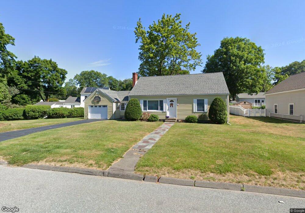
21 Edwards Rd Natick, MA 01760
Estimated Value: $741,000 - $797,016
4
Beds
2
Baths
1,583
Sq Ft
$487/Sq Ft
Est. Value
About This Home
This home is located at 21 Edwards Rd, Natick, MA 01760 and is currently estimated at $771,504, approximately $487 per square foot. 21 Edwards Rd is a home located in Middlesex County with nearby schools including Natick High School, J F Kennedy Middle School, and Brown Elementary School.
Ownership History
Date
Name
Owned For
Owner Type
Purchase Details
Closed on
Jul 14, 2022
Sold by
Carlson Kathleen H
Bought by
K H Carlson T 2022
Current Estimated Value
Purchase Details
Closed on
Aug 23, 2006
Sold by
Carlson Kathleen H and Carlson Robert A
Bought by
Carlson Kathleen H
Purchase Details
Closed on
Aug 14, 1980
Bought by
Carlson Kathleen H
Create a Home Valuation Report for This Property
The Home Valuation Report is an in-depth analysis detailing your home's value as well as a comparison with similar homes in the area
Home Values in the Area
Average Home Value in this Area
Purchase History
| Date | Buyer | Sale Price | Title Company |
|---|---|---|---|
| K H Carlson T 2022 | -- | None Available | |
| Carlson Kathleen H | -- | -- | |
| Carlson Kathleen H | -- | -- |
Source: Public Records
Mortgage History
| Date | Status | Borrower | Loan Amount |
|---|---|---|---|
| Previous Owner | Carlson Kathleen H | $224,200 |
Source: Public Records
Tax History
| Year | Tax Paid | Tax Assessment Tax Assessment Total Assessment is a certain percentage of the fair market value that is determined by local assessors to be the total taxable value of land and additions on the property. | Land | Improvement |
|---|---|---|---|---|
| 2025 | $7,569 | $632,900 | $428,300 | $204,600 |
| 2024 | $7,330 | $597,900 | $403,100 | $194,800 |
| 2023 | $6,397 | $506,100 | $387,700 | $118,400 |
| 2022 | $6,232 | $467,200 | $352,200 | $115,000 |
| 2021 | $6,203 | $455,800 | $332,100 | $123,700 |
| 2020 | $6,271 | $460,800 | $317,000 | $143,800 |
| 2019 | $5,857 | $460,800 | $317,000 | $143,800 |
| 2018 | $5,738 | $439,700 | $301,900 | $137,800 |
| 2017 | $5,443 | $403,500 | $257,300 | $146,200 |
| 2016 | $5,172 | $381,100 | $236,300 | $144,800 |
| 2015 | $5,106 | $369,500 | $236,300 | $133,200 |
Source: Public Records
Map
Nearby Homes
- 21 Kelsey Rd
- 157 Mill St
- 26 Wellesley Ave Unit B
- 79 Speen St
- 36 Silver Hill Ln Unit 21
- 46 Silver Hill Ln Unit 1
- 54 Pilgrim Rd
- 3 Silver Hill Ln Unit 6
- 1 Post Oak Ln Unit 19
- 15 Village Way Unit 8
- 50 Village Brook Ln Unit 4
- 57 Village Brook Ln Unit 5
- 34 Walden Dr Unit 5
- 8 Walden Dr Unit 13
- 28 Sylvester Rd
- 52 Village Brook Ln Unit 14
- 11 Village Rock Ln Unit 21
- 27 2nd St
- 89 W Central St
- 4 Village Rock Ln Unit 9
Your Personal Tour Guide
Ask me questions while you tour the home.