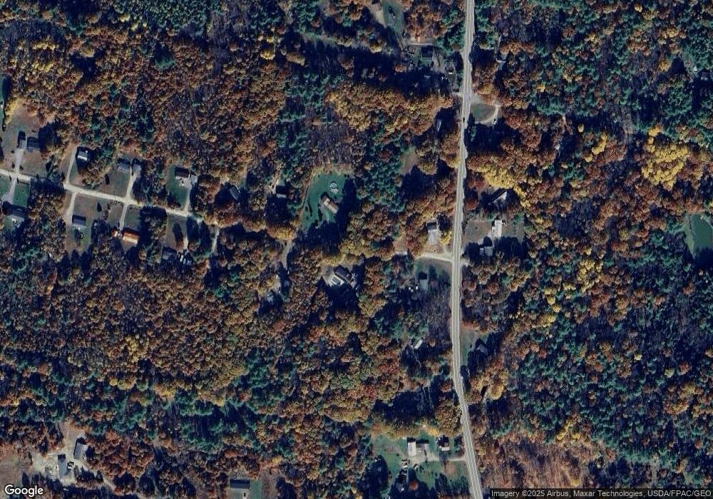
21 Elm Ln Windsor, ME 04363
Estimated Value: $338,000 - $561,000
3
Beds
2
Baths
1,939
Sq Ft
$231/Sq Ft
Est. Value
About This Home
This home is located at 21 Elm Ln, Windsor, ME 04363 and is currently estimated at $448,786, approximately $231 per square foot. 21 Elm Ln is a home located in Kennebec County with nearby schools including Windsor Elementary School, Crown Regional School, and Erskine Academy.
Ownership History
Date
Name
Owned For
Owner Type
Purchase Details
Closed on
Mar 19, 2009
Sold by
Bartlett James J and Bartlett Kristen M
Bought by
Zayac Phillippe R
Current Estimated Value
Home Financials for this Owner
Home Financials are based on the most recent Mortgage that was taken out on this home.
Original Mortgage
$220,000
Outstanding Balance
$140,179
Interest Rate
5.25%
Mortgage Type
Purchase Money Mortgage
Estimated Equity
$308,607
Create a Home Valuation Report for This Property
The Home Valuation Report is an in-depth analysis detailing your home's value as well as a comparison with similar homes in the area
Home Values in the Area
Average Home Value in this Area
Purchase History
| Date | Buyer | Sale Price | Title Company |
|---|---|---|---|
| Zayac Phillippe R | -- | -- | |
| Zayac Phillippe R | -- | -- | |
| Zayac Phillippe R | -- | -- |
Source: Public Records
Mortgage History
| Date | Status | Borrower | Loan Amount |
|---|---|---|---|
| Open | Zayac Phillippe R | $220,000 | |
| Closed | Zayac Phillippe R | $220,000 |
Source: Public Records
Tax History Compared to Growth
Tax History
| Year | Tax Paid | Tax Assessment Tax Assessment Total Assessment is a certain percentage of the fair market value that is determined by local assessors to be the total taxable value of land and additions on the property. | Land | Improvement |
|---|---|---|---|---|
| 2024 | $4,555 | $495,100 | $133,800 | $361,300 |
| 2023 | $4,079 | $281,300 | $84,500 | $196,800 |
| 2022 | $3,854 | $281,300 | $84,500 | $196,800 |
| 2021 | $3,657 | $281,300 | $84,500 | $196,800 |
| 2020 | $3,601 | $281,300 | $84,500 | $196,800 |
| 2019 | $3,573 | $281,300 | $84,500 | $196,800 |
| 2018 | $3,629 | $281,300 | $84,500 | $196,800 |
| 2017 | $4,321 | $281,300 | $84,500 | $196,800 |
| 2016 | $3,573 | $281,300 | $84,500 | $196,800 |
| 2015 | $3,347 | $281,300 | $84,500 | $196,800 |
| 2014 | $3,657 | $281,300 | $84,500 | $196,800 |
| 2013 | $3,713 | $281,300 | $84,500 | $196,800 |
Source: Public Records
Map
Nearby Homes