Estimated Value: $291,000 - $350,000
2
Beds
2
Baths
1,544
Sq Ft
$213/Sq Ft
Est. Value
About This Home
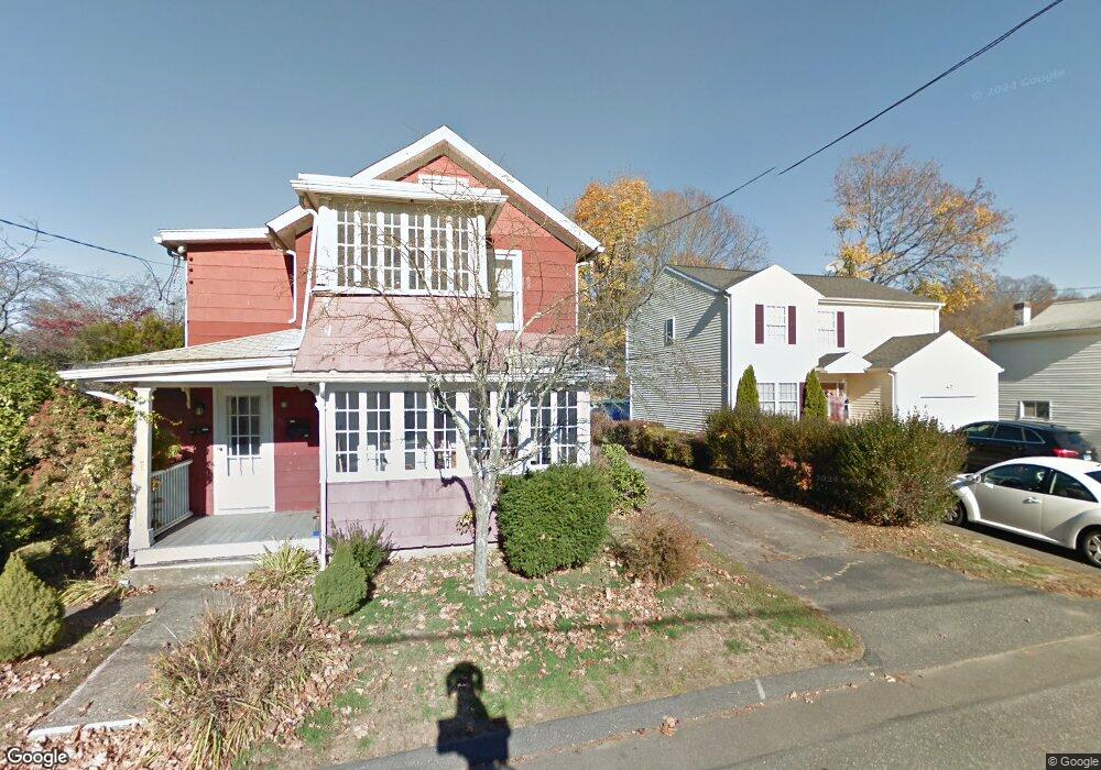
This home is located at 21 Elm St Unit 23, Derby, CT 06418 and is currently estimated at $328,662, approximately $212 per square foot. 21 Elm St Unit 23 is a home located in New Haven County with nearby schools including Derby Middle School, Derby High School, and St Mary & St Michael School.
Ownership History
Date
Name
Owned For
Owner Type
Purchase Details
Closed on
Jul 1, 2025
Sold by
Nilsen Karl
Bought by
White Mark
Current Estimated Value
Purchase Details
Closed on
Jan 10, 2022
Sold by
Waleksi Family Llc
Bought by
Nilsen Karl
Home Financials for this Owner
Home Financials are based on the most recent Mortgage that was taken out on this home.
Original Mortgage
$165,000
Interest Rate
3.05%
Mortgage Type
Purchase Money Mortgage
Purchase Details
Closed on
Jan 15, 2014
Sold by
Leonard Waleski Ret and Eustace William
Bought by
Waleski Family Llc
Purchase Details
Closed on
Feb 1, 1963
Bought by
Waleski Family Llc
Create a Home Valuation Report for This Property
The Home Valuation Report is an in-depth analysis detailing your home's value as well as a comparison with similar homes in the area
Home Values in the Area
Average Home Value in this Area
Purchase History
| Date | Buyer | Sale Price | Title Company |
|---|---|---|---|
| White Mark | $335,000 | -- | |
| White Mark | $335,000 | -- | |
| Nilsen Karl | $220,000 | None Available | |
| Nilsen Karl | $220,000 | None Available | |
| Waleski Family Llc | -- | -- | |
| Waleski Family Llc | -- | -- | |
| Waleski Family Llc | -- | -- |
Source: Public Records
Mortgage History
| Date | Status | Borrower | Loan Amount |
|---|---|---|---|
| Previous Owner | Nilsen Karl | $165,000 |
Source: Public Records
Tax History Compared to Growth
Tax History
| Year | Tax Paid | Tax Assessment Tax Assessment Total Assessment is a certain percentage of the fair market value that is determined by local assessors to be the total taxable value of land and additions on the property. | Land | Improvement |
|---|---|---|---|---|
| 2025 | $4,388 | $101,570 | $34,270 | $67,300 |
| 2024 | $4,388 | $101,570 | $34,300 | $67,270 |
| 2023 | $3,921 | $101,570 | $34,300 | $67,270 |
| 2022 | $3,921 | $101,570 | $34,300 | $67,270 |
| 2021 | $3,921 | $101,570 | $34,300 | $67,270 |
| 2020 | $3,820 | $87,080 | $34,300 | $52,780 |
| 2019 | $3,646 | $87,080 | $34,300 | $52,780 |
| 2018 | $3,428 | $87,080 | $34,300 | $52,780 |
| 2017 | $3,428 | $87,080 | $34,300 | $52,780 |
| 2016 | $3,428 | $87,080 | $34,300 | $52,780 |
| 2015 | $3,252 | $91,000 | $34,300 | $56,700 |
| 2014 | $3,252 | $91,000 | $34,300 | $56,700 |
Source: Public Records
Map
Nearby Homes
- 196 New Haven Ave Unit 322
- 196 New Haven Ave Unit 101
- 3 Windward Way Unit 3
- 4 Windward Way Unit 4
- 1 Windward Way Unit 1
- 5 Windward Way Unit 5
- 6 Windward Way Unit 6
- 32 Spindrift Ln Unit 32
- 204 New Haven Ave Unit 7E
- 28 Edgewood Ave
- 178 River Rd
- 0 Harvard Ave
- 1 Lombardi Dr
- 23 Bruce Dr
- 83 Myrtle St Unit BLDG 2, 5
- 965 Red Fox Rd
- 10 Bank St Unit 12
- 111 High St
- 175 Coram Rd
- 45 Sherwood Ave