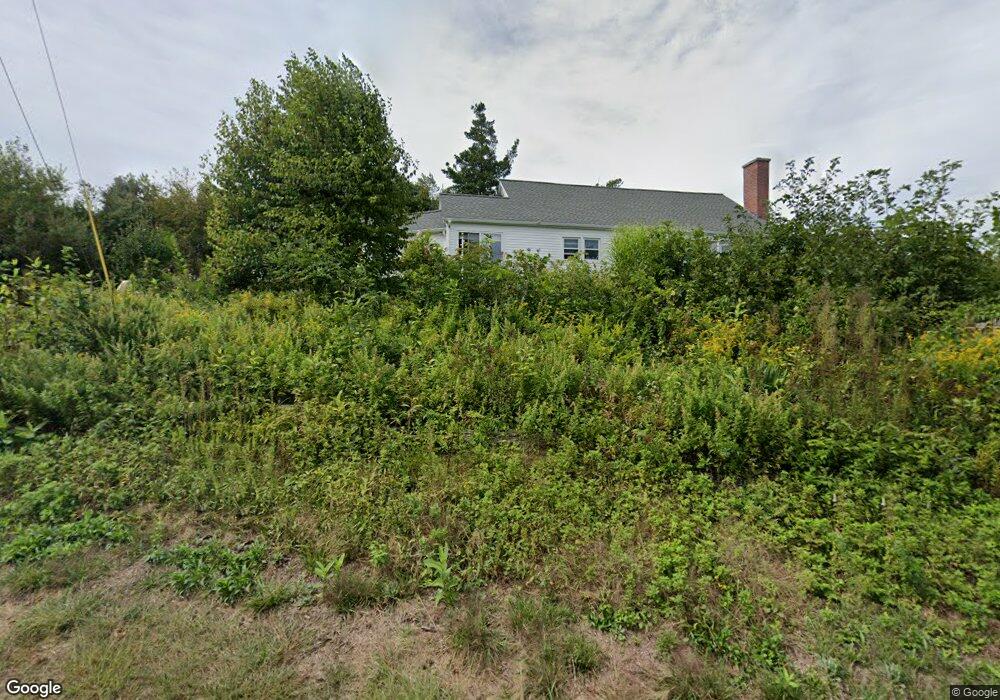
21 Ely Rd Monson, MA 01057
Estimated Value: $410,000 - $506,000
3
Beds
2
Baths
2,255
Sq Ft
$195/Sq Ft
Est. Value
About This Home
This home is located at 21 Ely Rd, Monson, MA 01057 and is currently estimated at $440,590, approximately $195 per square foot. 21 Ely Rd is a home located in Hampden County with nearby schools including Quarry Hill Community School, Granite Valley School, and Monson High School.
Ownership History
Date
Name
Owned For
Owner Type
Purchase Details
Closed on
Jun 29, 2001
Sold by
Duprey Edmund W and Duprey Colleen A
Bought by
Laferriere Michael D and Kubik Geralynn
Current Estimated Value
Home Financials for this Owner
Home Financials are based on the most recent Mortgage that was taken out on this home.
Original Mortgage
$110,300
Outstanding Balance
$42,507
Interest Rate
7.14%
Mortgage Type
Purchase Money Mortgage
Estimated Equity
$398,083
Purchase Details
Closed on
Feb 25, 1998
Sold by
Hall Heather M and Meacham Lawrence P
Bought by
Duprey Edmund M and Duprey Colleen A
Home Financials for this Owner
Home Financials are based on the most recent Mortgage that was taken out on this home.
Original Mortgage
$92,400
Interest Rate
6.85%
Mortgage Type
Purchase Money Mortgage
Create a Home Valuation Report for This Property
The Home Valuation Report is an in-depth analysis detailing your home's value as well as a comparison with similar homes in the area
Home Values in the Area
Average Home Value in this Area
Purchase History
| Date | Buyer | Sale Price | Title Company |
|---|---|---|---|
| Laferriere Michael D | $137,900 | -- | |
| Duprey Edmund M | $115,500 | -- |
Source: Public Records
Mortgage History
| Date | Status | Borrower | Loan Amount |
|---|---|---|---|
| Open | Duprey Edmund M | $110,300 | |
| Previous Owner | Duprey Edmund M | $92,400 |
Source: Public Records
Tax History
| Year | Tax Paid | Tax Assessment Tax Assessment Total Assessment is a certain percentage of the fair market value that is determined by local assessors to be the total taxable value of land and additions on the property. | Land | Improvement |
|---|---|---|---|---|
| 2025 | $5,640 | $379,300 | $68,200 | $311,100 |
| 2024 | $5,458 | $352,100 | $68,200 | $283,900 |
| 2023 | $4,939 | $311,400 | $68,200 | $243,200 |
| 2022 | $4,720 | $264,700 | $68,200 | $196,500 |
| 2021 | $4,912 | $241,400 | $68,200 | $173,200 |
| 2020 | $4,410 | $241,400 | $68,200 | $173,200 |
| 2019 | $4,664 | $229,800 | $68,200 | $161,600 |
| 2018 | $4,115 | $233,800 | $75,600 | $158,200 |
| 2017 | $3,912 | $224,700 | $72,500 | $152,200 |
| 2016 | $3,806 | $222,300 | $68,100 | $154,200 |
| 2015 | $3,706 | $222,300 | $68,100 | $154,200 |
| 2014 | $3,601 | $222,300 | $68,100 | $154,200 |
Source: Public Records
Map
Nearby Homes
- 4 Spring St
- 24 Main St
- 9 calle NW
- 9 calle 8-95 Zona11
- 9 Calle 8-92 Zona 11
- 4 Stewart Ave
- 11 Park Ave
- 0 Mccray Cir
- 18 Palmer Rd Unit 5
- 0 Brimfield Rd
- Lot B Brimfield Rd
- 84 Bethany Rd
- (Lot) 0 Bethany Rd
- 12 Upper Palmer Rd
- 1 Cedar Swamp Rd
- 57 Broadway Rd
- 102 Bogan Rd
- 25 Macomber Rd
- Lot 1 Woodhill Rd
- 127 Munn Rd
Your Personal Tour Guide
Ask me questions while you tour the home.