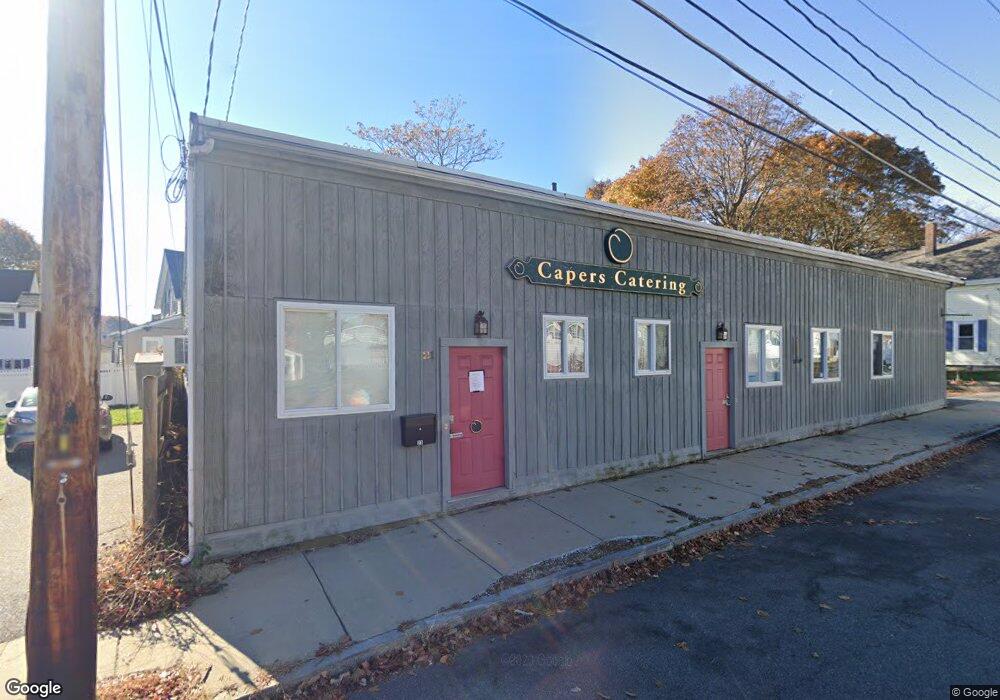
21 Emerson St Stoneham, MA 02180
Colonial Park Neighborhood
--
Bed
--
Bath
4,550
Sq Ft
0.28
Acres
About This Home
This home is located at 21 Emerson St, Stoneham, MA 02180. 21 Emerson St is a home located in Middlesex County with nearby schools including Stoneham High School, St. Patrick Elementary School, and Greater Boston Academy.
Ownership History
Date
Name
Owned For
Owner Type
Purchase Details
Closed on
Oct 12, 2020
Sold by
21 Emerson Street Llc
Bought by
Newmay Llc
Purchase Details
Closed on
Dec 4, 2013
Sold by
Nyberg Jonathan M and Dolan Sara Q
Bought by
21 Emerson Street Llc
Home Financials for this Owner
Home Financials are based on the most recent Mortgage that was taken out on this home.
Original Mortgage
$326,250
Interest Rate
4.17%
Mortgage Type
Commercial
Purchase Details
Closed on
Dec 16, 2004
Sold by
E & S Assoc and Nordberg Linda C
Bought by
Dolan David D and Nyberg Jonathan M
Home Financials for this Owner
Home Financials are based on the most recent Mortgage that was taken out on this home.
Original Mortgage
$270,000
Interest Rate
5.68%
Mortgage Type
Commercial
Create a Home Valuation Report for This Property
The Home Valuation Report is an in-depth analysis detailing your home's value as well as a comparison with similar homes in the area
Home Values in the Area
Average Home Value in this Area
Purchase History
| Date | Buyer | Sale Price | Title Company |
|---|---|---|---|
| Newmay Llc | $675,000 | None Available | |
| 21 Emerson Street Llc | $435,000 | -- | |
| Dolan David D | $300,000 | -- |
Source: Public Records
Mortgage History
| Date | Status | Borrower | Loan Amount |
|---|---|---|---|
| Previous Owner | 21 Emerson Street Llc | $326,250 | |
| Previous Owner | Dolan David D | $270,000 |
Source: Public Records
Tax History Compared to Growth
Tax History
| Year | Tax Paid | Tax Assessment Tax Assessment Total Assessment is a certain percentage of the fair market value that is determined by local assessors to be the total taxable value of land and additions on the property. | Land | Improvement |
|---|---|---|---|---|
| 2025 | $13,972 | $720,200 | $368,800 | $351,400 |
| 2024 | $13,792 | $683,800 | $347,100 | $336,700 |
| 2023 | $14,814 | $700,100 | $320,000 | $380,100 |
| 2022 | $12,938 | $653,100 | $303,700 | $349,400 |
| 2021 | $11,902 | $580,600 | $303,700 | $276,900 |
| 2020 | $11,902 | $580,600 | $303,700 | $276,900 |
| 2019 | $11,621 | $544,800 | $282,000 | $262,800 |
| 2018 | $10,775 | $482,100 | $282,000 | $200,100 |
| 2017 | $9,809 | $422,600 | $238,600 | $184,000 |
| 2016 | $9,530 | $422,600 | $238,600 | $184,000 |
| 2015 | $8,852 | $400,900 | $216,900 | $184,000 |
| 2014 | $7,388 | $335,800 | $151,800 | $184,000 |
Source: Public Records
Map
Nearby Homes
- 17A 17 B Emerson
- 17 Emerson St Unit A
- 10 Pomeworth St Unit H
- 34 Warren St Unit 3
- 8 Walnut St
- 43 Pomeworth St Unit 44
- 12 Cottage St
- 13 Washington Ave
- 21 Tremont St Unit A
- 137 Franklin St Unit 102
- 137 Franklin St Unit 404
- 20 Myrtle St
- 1 Tremont St
- 17 Franklin St
- 200 Ledgewood Dr Unit 505
- 100 Ledgewood Dr Unit 618
- 25 Murdoch Rd
- 20 Oak St
- 159 Franklin St Unit C2
- 4 Gavin Cir
- 27 Emerson St
- 27 Emerson St Unit 1
- 25 Emerson St
- 25 Emerson St Unit 2
- 20 Emerson St Unit 1
- 22 Emerson St Unit 1
- 20 Emerson St Unit 22
- 22 Emerson St Unit 22
- 20 Emerson St Unit 20
- 20-22 Emerson St
- 29 Pine St
- 29 1/2 Pine St
- 33 Pine St
- 19 Emerson St
- 23 Pine St
- 18 Emerson St
- 31 Pine St
- 11 Fuller St
- 16 Emerson St
- 16 Emerson St Unit 1