21 Emily Rd Tewksbury, MA 01876
Estimated Value: $706,000 - $811,000
4
Beds
2
Baths
1,706
Sq Ft
$442/Sq Ft
Est. Value
About This Home
This home is located at 21 Emily Rd, Tewksbury, MA 01876 and is currently estimated at $753,513, approximately $441 per square foot. 21 Emily Rd is a home located in Middlesex County with nearby schools including Heath-Brook Elementary School.
Ownership History
Date
Name
Owned For
Owner Type
Purchase Details
Closed on
May 20, 2024
Sold by
Poirier Randall G and Poirier Susan L
Bought by
Poirier 2024 T and Poirier P
Current Estimated Value
Purchase Details
Closed on
Jul 18, 1977
Bought by
Poirier Randall G and Hoole Susan
Create a Home Valuation Report for This Property
The Home Valuation Report is an in-depth analysis detailing your home's value as well as a comparison with similar homes in the area
Home Values in the Area
Average Home Value in this Area
Purchase History
| Date | Buyer | Sale Price | Title Company |
|---|---|---|---|
| Poirier 2024 T | -- | None Available | |
| Poirier 2024 T | -- | None Available | |
| Poirier Randall G | $41,900 | -- |
Source: Public Records
Mortgage History
| Date | Status | Borrower | Loan Amount |
|---|---|---|---|
| Previous Owner | Poirier Randall G | $95,000 | |
| Previous Owner | Poirier Randall G | $95,000 | |
| Previous Owner | Poirier Randall G | $160,000 | |
| Previous Owner | Poirier Randall G | $33,000 |
Source: Public Records
Tax History Compared to Growth
Tax History
| Year | Tax Paid | Tax Assessment Tax Assessment Total Assessment is a certain percentage of the fair market value that is determined by local assessors to be the total taxable value of land and additions on the property. | Land | Improvement |
|---|---|---|---|---|
| 2025 | $9,262 | $700,600 | $305,500 | $395,100 |
| 2024 | $9,058 | $676,500 | $291,100 | $385,400 |
| 2023 | $9,204 | $652,800 | $264,500 | $388,300 |
| 2022 | $8,807 | $579,400 | $230,100 | $349,300 |
| 2021 | $8,483 | $539,600 | $209,200 | $330,400 |
| 2020 | $8,371 | $524,200 | $199,200 | $325,000 |
| 2019 | $7,568 | $477,800 | $189,600 | $288,200 |
| 2018 | $7,278 | $451,200 | $189,600 | $261,600 |
| 2017 | $6,860 | $420,600 | $189,600 | $231,000 |
| 2016 | $6,628 | $405,400 | $189,600 | $215,800 |
| 2015 | $6,126 | $374,200 | $183,900 | $190,300 |
| 2014 | $5,858 | $363,600 | $183,900 | $179,700 |
Source: Public Records
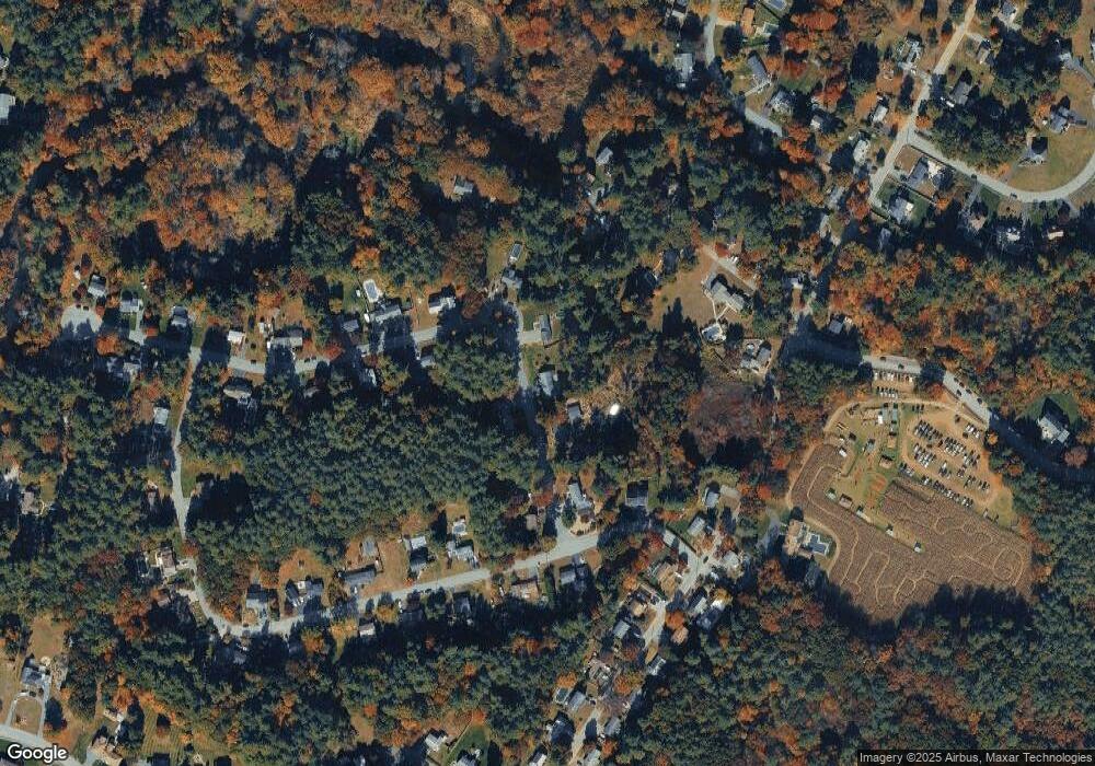
Map
Nearby Homes
- 71 Apache Way Unit 71
- 177 Apache Way Unit 177
- 93 Vale St
- 22 Carleton Rd
- 110 Royal Crest Cir
- 127 Caddy Ct
- 107 Eagle Dr Unit 107
- 93 Fairway Dr
- 5 Kensington Way Unit 5
- 16 Eagle Dr
- 20 Oakland Ave
- 15 Pinewood Rd
- 1 Summer St
- 14 Regis Rd
- 32 Decarolis Dr
- 5 Oak St
- 8 McDonald Rd
- 14 Hinckley Rd
- 3 Adelman Rd
- 172 Patrick Rd