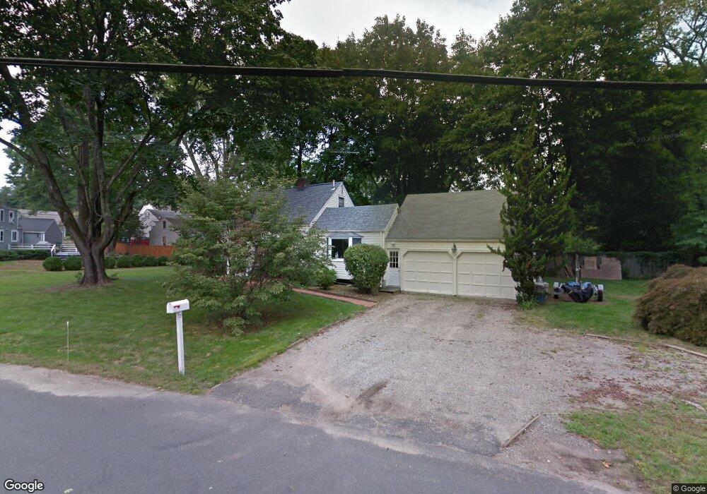
21 Fairport Rd Westport, CT 06880
Staples NeighborhoodEstimated Value: $887,071 - $1,286,000
3
Beds
3
Baths
1,172
Sq Ft
$877/Sq Ft
Est. Value
About This Home
This home is located at 21 Fairport Rd, Westport, CT 06880 and is currently estimated at $1,028,018, approximately $877 per square foot. 21 Fairport Rd is a home located in Fairfield County with nearby schools including Long Lots School, Bedford Middle School, and Staples High School.
Ownership History
Date
Name
Owned For
Owner Type
Purchase Details
Closed on
Jun 5, 2025
Sold by
Deluca Douglas
Bought by
Deluca Douglas and Deluca Vicki
Current Estimated Value
Purchase Details
Closed on
Aug 31, 2000
Sold by
Obrien Charles and Obrien Barbara
Bought by
Deluca Doug and Deluca Vicki
Create a Home Valuation Report for This Property
The Home Valuation Report is an in-depth analysis detailing your home's value as well as a comparison with similar homes in the area
Home Values in the Area
Average Home Value in this Area
Purchase History
| Date | Buyer | Sale Price | Title Company |
|---|---|---|---|
| Deluca Douglas | -- | -- | |
| Deluca Douglas | -- | -- | |
| Deluca Doug | $325,000 | -- | |
| Deluca Doug | $325,000 | -- |
Source: Public Records
Mortgage History
| Date | Status | Borrower | Loan Amount |
|---|---|---|---|
| Previous Owner | Deluca Doug | $220,500 | |
| Previous Owner | Deluca Doug | $150,000 | |
| Previous Owner | Deluca Doug | $332,200 |
Source: Public Records
Tax History Compared to Growth
Tax History
| Year | Tax Paid | Tax Assessment Tax Assessment Total Assessment is a certain percentage of the fair market value that is determined by local assessors to be the total taxable value of land and additions on the property. | Land | Improvement |
|---|---|---|---|---|
| 2025 | $6,352 | $336,800 | $248,300 | $88,500 |
| 2024 | $6,271 | $336,800 | $248,300 | $88,500 |
| 2023 | $6,180 | $336,800 | $248,300 | $88,500 |
| 2022 | $6,086 | $336,800 | $248,300 | $88,500 |
| 2021 | $9,857 | $336,800 | $248,300 | $88,500 |
| 2020 | $9,857 | $328,500 | $231,200 | $97,300 |
| 2019 | $5,539 | $328,500 | $231,200 | $97,300 |
| 2018 | $9,614 | $328,500 | $231,200 | $97,300 |
| 2017 | $9,420 | $328,500 | $231,200 | $97,300 |
| 2016 | $5,539 | $328,500 | $231,200 | $97,300 |
| 2015 | $5,072 | $280,400 | $161,700 | $118,700 |
| 2014 | $5,030 | $280,400 | $161,700 | $118,700 |
Source: Public Records
Map
Nearby Homes
- 125 Old Rd
- 220 Lansdowne
- 1 Coastal Ct
- 107 Old Rd
- 7 High Gate Rd
- 36 Maple Ave S
- 40 Maple Ave N
- 185 Regents Park
- 153 Pease Ave
- 342 Greens Farms Rd
- 2 Elmwood Dr Unit 2
- 305 S Gate Ln
- 1 Sturges Hwy Unit Lot 1
- 1 Sturges Hwy Unit 2
- 10 Debra Ln
- 1213 Cedar Rd
- 1001 Hulls Farm Rd
- 944 Pequot Ave
- 86 Maple Ave S
- 844 Mill Hill Terrace
- 31 Bulkley Ave N
- 2 Hunting Ln
- 20 Fairport Rd
- 4 Hunting Ln
- 33 Bulkley Ave N
- 18 Fairport Rd
- 6 Hunting Ln
- 35 Bulkley Ave N
- 30 Bulkley Ave N
- 8 Hunting Ln
- 16 Fairport Rd
- 20 Bulkley Ave N Unit B
- 19 Dexter Rd
- 15 Fairport Rd
- 28 Bulkley Ave N
- 5 Hunting Ln
- 25 Bulkley Ave N
- 14 Fairport Rd
- 12 Fairport Rd
- 22 Bulkley Ave N