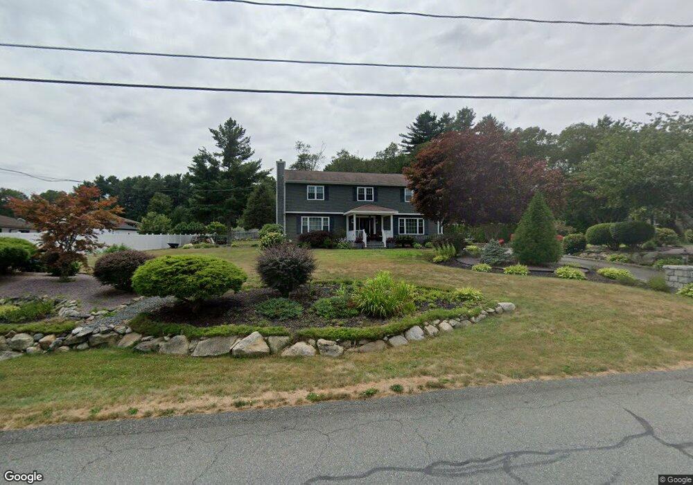
21 Fairway Dr Acushnet, MA 02743
Sherwood Forest NeighborhoodEstimated Value: $684,137 - $830,000
Studio
2
Baths
3,066
Sq Ft
$247/Sq Ft
Est. Value
About This Home
This home is located at 21 Fairway Dr, Acushnet, MA 02743 and is currently estimated at $756,284, approximately $246 per square foot. 21 Fairway Dr is a home located in Bristol County with nearby schools including Acushnet Elementary School, Albert F Ford Middle School, and All Saints Catholic School.
Ownership History
Date
Name
Owned For
Owner Type
Purchase Details
Closed on
Oct 5, 1998
Sold by
Pereira Richard J and Pereira Robin A
Bought by
Demelo Valdomiro R and Demelo Margarida
Current Estimated Value
Home Financials for this Owner
Home Financials are based on the most recent Mortgage that was taken out on this home.
Original Mortgage
$110,000
Outstanding Balance
$24,063
Interest Rate
6.89%
Mortgage Type
Purchase Money Mortgage
Estimated Equity
$732,221
Create a Home Valuation Report for This Property
The Home Valuation Report is an in-depth analysis detailing your home's value as well as a comparison with similar homes in the area
Home Values in the Area
Average Home Value in this Area
Purchase History
| Date | Buyer | Sale Price | Title Company |
|---|---|---|---|
| Demelo Valdomiro R | $205,000 | -- |
Source: Public Records
Mortgage History
| Date | Status | Borrower | Loan Amount |
|---|---|---|---|
| Open | Demelo Valdomiro R | $110,000 | |
| Previous Owner | Demelo Valdomiro R | $8,000 | |
| Previous Owner | Demelo Valdomiro R | $7,500 |
Source: Public Records
Tax History
| Year | Tax Paid | Tax Assessment Tax Assessment Total Assessment is a certain percentage of the fair market value that is determined by local assessors to be the total taxable value of land and additions on the property. | Land | Improvement |
|---|---|---|---|---|
| 2025 | $71 | $661,600 | $168,500 | $493,100 |
| 2024 | $6,621 | $580,300 | $147,400 | $432,900 |
| 2023 | $6,565 | $547,100 | $134,300 | $412,800 |
| 2022 | $5,928 | $446,700 | $126,400 | $320,300 |
| 2021 | $5,572 | $402,900 | $126,400 | $276,500 |
| 2020 | $5,616 | $402,900 | $126,400 | $276,500 |
| 2019 | $5,593 | $394,400 | $126,400 | $268,000 |
| 2018 | $5,386 | $373,500 | $126,400 | $247,100 |
| 2017 | $5,222 | $361,600 | $126,400 | $235,200 |
| 2016 | $4,952 | $340,800 | $126,400 | $214,400 |
| 2015 | $4,807 | $336,600 | $126,400 | $210,200 |
Source: Public Records
Map
Nearby Homes
- 329 Middle Rd
- 134 Nyes Ln
- 1015 Forbes St
- 40 Foley Dr
- ES Acushnet Ave
- 7 Hamlin St
- SS Charbonneau Ln
- 23 Coury Dr
- 765 Pine Hill Dr
- 1044 Phillips Rd Unit 25
- 1044 Phillips Rd Unit 20
- 2800 Acushnet Ave
- 1056 Victoria St Unit A-13
- 145 Heritage Dr
- 0 Church Dutton & Chaffee Unit 73371719
- 1251 Church St Unit 10
- WS Phillips Rd
- ES Phillips Rd
- 1261 Church St Unit 70
- 1261 Church St Unit 53
Your Personal Tour Guide
Ask me questions while you tour the home.