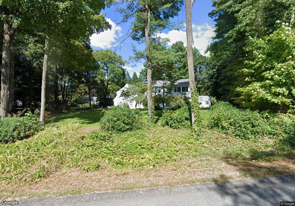
21 Farrar Rd Lincoln, MA 01773
Estimated Value: $1,334,337 - $1,724,000
5
Beds
3
Baths
2,404
Sq Ft
$626/Sq Ft
Est. Value
About This Home
This home is located at 21 Farrar Rd, Lincoln, MA 01773 and is currently estimated at $1,505,834, approximately $626 per square foot. 21 Farrar Rd is a home located in Middlesex County with nearby schools including Lincoln-Sudbury Regional High School and Corwin-Russell School at Broccoli Hall.
Ownership History
Date
Name
Owned For
Owner Type
Purchase Details
Closed on
Aug 2, 1994
Sold by
Butler William H and Butler Nancy G
Bought by
Maclean John K and Maclean Grace H
Current Estimated Value
Home Financials for this Owner
Home Financials are based on the most recent Mortgage that was taken out on this home.
Original Mortgage
$120,000
Interest Rate
8.25%
Mortgage Type
Purchase Money Mortgage
Create a Home Valuation Report for This Property
The Home Valuation Report is an in-depth analysis detailing your home's value as well as a comparison with similar homes in the area
Home Values in the Area
Average Home Value in this Area
Purchase History
| Date | Buyer | Sale Price | Title Company |
|---|---|---|---|
| Maclean John K | $375,000 | -- |
Source: Public Records
Mortgage History
| Date | Status | Borrower | Loan Amount |
|---|---|---|---|
| Open | Maclean John K | $116,000 | |
| Closed | Maclean John K | $120,000 | |
| Previous Owner | Maclean John K | $150,000 |
Source: Public Records
Tax History Compared to Growth
Tax History
| Year | Tax Paid | Tax Assessment Tax Assessment Total Assessment is a certain percentage of the fair market value that is determined by local assessors to be the total taxable value of land and additions on the property. | Land | Improvement |
|---|---|---|---|---|
| 2025 | $156 | $1,215,600 | $654,500 | $561,100 |
| 2024 | $15,410 | $1,195,500 | $641,700 | $553,800 |
| 2023 | $15,886 | $1,141,200 | $591,000 | $550,200 |
| 2022 | $15,414 | $1,032,400 | $534,300 | $498,100 |
| 2021 | $14,611 | $941,400 | $472,800 | $468,600 |
| 2020 | $14,403 | $937,700 | $472,800 | $464,900 |
| 2019 | $12,367 | $881,500 | $458,000 | $423,500 |
| 2018 | $0 | $881,500 | $458,000 | $423,500 |
| 2017 | $0 | $844,300 | $432,300 | $412,000 |
| 2016 | $11,423 | $816,500 | $419,500 | $397,000 |
| 2015 | $11,065 | $782,000 | $388,400 | $393,600 |
| 2014 | $10,336 | $717,300 | $347,900 | $369,400 |
Source: Public Records
Map
Nearby Homes
- 244 Lincoln Rd
- 152 S Great Rd
- 134 Chestnut Cir
- 50 Windingwood Ln
- 93 Old Sudbury Rd
- 49 Birchwood Ln Unit 49
- 33 Old Concord Rd
- 15 Lewis Path
- 44 Baker Bridge Rd
- 60 Baker Bridge Rd
- Lot 5 Sailaway Ln
- 45 N Crescent Cir
- Lot 4 Sailaway Ln
- 2 Betts Way
- 8 Mina Way
- 0 Elm Unit 73282184
- Lot 9 Sailaway Ln
- 4 Betts Way
- 122 Sand Gully Rd N Unit B
- 130 Tower Rd