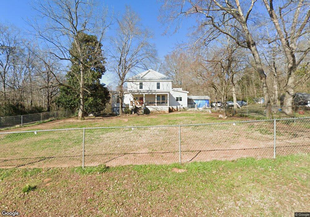
21 Fifth Ave Carlton, GA 30627
Estimated Value: $236,639 - $537,000
Studio
--
Bath
3,666
Sq Ft
$98/Sq Ft
Est. Value
About This Home
This home is located at 21 Fifth Ave, Carlton, GA 30627 and is currently estimated at $360,910, approximately $98 per square foot. 21 Fifth Ave is a home with nearby schools including Madison County High School.
Ownership History
Date
Name
Owned For
Owner Type
Purchase Details
Closed on
Sep 16, 2014
Sold by
Hobbs Cynthia Ann
Bought by
Hobbs Cynthia Ann and Hobbs Gariot Dixon
Current Estimated Value
Purchase Details
Closed on
Sep 5, 2012
Sold by
Magnus Cynthia Ann
Bought by
Hobbs Cynthia
Purchase Details
Closed on
Feb 3, 2003
Sold by
City Of Carlton
Bought by
Magnus Cynthia Ann
Purchase Details
Closed on
Jan 1, 1992
Bought by
Magnus Cynthia Ann
Create a Home Valuation Report for This Property
The Home Valuation Report is an in-depth analysis detailing your home's value as well as a comparison with similar homes in the area
Purchase History
| Date | Buyer | Sale Price | Title Company |
|---|---|---|---|
| Hobbs Cynthia Ann | -- | -- | |
| Hobbs Cynthia | -- | -- | |
| Magnus Cynthia Ann | -- | -- | |
| Magnus Cynthia Ann | $27,500 | -- |
Source: Public Records
Tax History
| Year | Tax Paid | Tax Assessment Tax Assessment Total Assessment is a certain percentage of the fair market value that is determined by local assessors to be the total taxable value of land and additions on the property. | Land | Improvement |
|---|---|---|---|---|
| 2025 | $1,945 | $71,914 | $9,446 | $62,468 |
| 2024 | $1,940 | $69,934 | $9,446 | $60,488 |
| 2023 | $1,270 | $64,431 | $7,872 | $56,559 |
| 2022 | $1,635 | $55,321 | $5,411 | $49,910 |
| 2021 | $1,289 | $37,793 | $5,411 | $32,382 |
| 2020 | $1,268 | $37,006 | $4,624 | $32,382 |
| 2019 | $1,384 | $39,952 | $5,086 | $34,866 |
| 2018 | $1,321 | $38,009 | $4,653 | $33,356 |
| 2017 | $1,058 | $32,902 | $3,936 | $28,966 |
| 2016 | $904 | $27,951 | $3,577 | $24,374 |
| 2015 | $839 | $27,951 | $3,577 | $24,374 |
| 2014 | $865 | $28,759 | $3,433 | $25,326 |
| 2013 | -- | $28,759 | $3,433 | $25,326 |
Source: Public Records
Map
Nearby Homes
- 6367 Highway 72 E
- 670 S Railroad Ave
- 88 S Railroad Ave
- 376 Paoli Rd
- 275 Emma Cooper Rd
- 825 New Town Church Rd
- 295 Berkeley Rd
- 217 Broad River Rd
- 3614 Georgia 72
- 737 Broad River Rd
- 00 River Rd
- 2987 Georgia 72
- 0 River Rd Unit 10639917
- 2224 Osley Mill Rd
- 1163 Nickville Rd
- 0 Osley Mill Rd Unit 10671196
- 2975 Georgia 72
- 1584 Lexington Carlton Rd
- 2405 Athens Hwy
- 109 Mill Run
- 96 N Seventh St
- 5769 Hwy 72e
- 5707 Highway 72 E
- 5735 Hwy 72e
- 0 Noble Rd Unit 7448074
- 0 Hwy 72 E Unit 2997524
- 0 Hwy 72 E Unit 7014919
- 0 Hwy 72 E Unit 7112191
- 0 Hwy 72 E Unit 7173511
- 0 Hwy 72 E Unit 7173536
- 0 Hwy 72 E Unit 7173642
- 0 Hwy 72 E Unit 7173518
- 0 Hwy 72 E Unit 8096006
- 0 Hwy 72 E Unit CM968360
- 0 Hwy 72 E Unit CM901224
- 0 Hwy 72 E Unit CM934543
- 0 Hwy 72 E Unit CM429885
- 0 Hwy 72 E Unit 968228
- 0 Georgia 72
- E Georgia 72
Your Personal Tour Guide
Ask me questions while you tour the home.