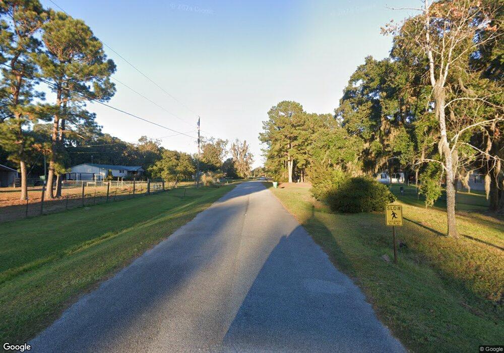
21 Forest Island Dr Townsend, GA 31331
Estimated Value: $342,000 - $478,000
3
Beds
3
Baths
1,784
Sq Ft
$219/Sq Ft
Est. Value
About This Home
This home is located at 21 Forest Island Dr, Townsend, GA 31331 and is currently estimated at $390,667, approximately $218 per square foot. 21 Forest Island Dr is a home with nearby schools including Todd Grant Elementary School, McIntosh County Middle School, and McIntosh County Academy.
Ownership History
Date
Name
Owned For
Owner Type
Purchase Details
Closed on
Apr 7, 2022
Sold by
White Will Don
Bought by
White Mary Alice
Current Estimated Value
Home Financials for this Owner
Home Financials are based on the most recent Mortgage that was taken out on this home.
Original Mortgage
$113,000
Interest Rate
3.76%
Mortgage Type
Mortgage Modification
Purchase Details
Closed on
Jan 9, 2015
Sold by
White Perry S
Bought by
White House Builders Inc
Purchase Details
Closed on
Feb 16, 2012
Sold by
White Will D
Bought by
White Will D
Purchase Details
Closed on
Nov 13, 2000
Sold by
Brannen Clinard Perr
Bought by
White D Will
Purchase Details
Closed on
Feb 24, 2000
Sold by
Tracts John
Bought by
Brannen Clinard Perr
Create a Home Valuation Report for This Property
The Home Valuation Report is an in-depth analysis detailing your home's value as well as a comparison with similar homes in the area
Home Values in the Area
Average Home Value in this Area
Purchase History
| Date | Buyer | Sale Price | Title Company |
|---|---|---|---|
| White Mary Alice | -- | -- | |
| White House Builders Inc | -- | -- | |
| White Will D | -- | -- | |
| White D Will | $7,100 | -- | |
| Brannen Clinard Perr | $8,500 | -- |
Source: Public Records
Mortgage History
| Date | Status | Borrower | Loan Amount |
|---|---|---|---|
| Closed | White Mary Alice | $113,000 |
Source: Public Records
Tax History Compared to Growth
Tax History
| Year | Tax Paid | Tax Assessment Tax Assessment Total Assessment is a certain percentage of the fair market value that is determined by local assessors to be the total taxable value of land and additions on the property. | Land | Improvement |
|---|---|---|---|---|
| 2024 | $2,859 | $97,560 | $3,600 | $93,960 |
| 2023 | $2,747 | $93,200 | $3,600 | $89,600 |
| 2022 | $2,294 | $76,920 | $3,600 | $73,320 |
| 2021 | $1,535 | $57,760 | $3,600 | $54,160 |
| 2020 | $1,415 | $53,240 | $3,600 | $49,640 |
| 2019 | $1,372 | $51,640 | $3,600 | $48,040 |
| 2018 | $1,372 | $51,640 | $3,600 | $48,040 |
| 2017 | $1,413 | $47,440 | $3,600 | $43,840 |
| 2016 | $1,224 | $47,440 | $3,600 | $43,840 |
| 2015 | $1,352 | $49,726 | $2,800 | $46,926 |
| 2014 | $1,369 | $49,726 | $2,800 | $46,926 |
Source: Public Records
Map
Nearby Homes
- 1494 Forest Marsh Loop NE
- 0 Briar Patch Lot 29 Place
- 0 Briar Patch Lot 28 Place
- 0 Briar Patch Lot 30 Place
- 0 Briar Patch Rd SE Unit 1658040
- 0 Briar Patch Rd SE Unit 1658033
- 0 Briar Patch Rd SE Unit 1658042
- 0 Briar Patch Rd SE Unit 1658032
- 0 Briar Patch Rd SE Unit 1658039
- 0 Briar Patch Rd SE Unit 1658041
- 0 Briar Patch Lot#27 Place
- 0 Briar Patch Lot 15 Place
- 0 Briar Patch Lot 16 Place
- 1119 Hanover Ln
- 1340 Pelican Ln SE
- 1138 Hanover Ln
- 1181 Charlton Chase NE
- Lot 21 Sutherland Bluff Dr NE
- 1443 Gillican Ave NE
- 0 Crow Trail SE Unit 1654392
- 1595 Forest Island Dr
- 1540 Forest Island Dr NE
- Parcel 1 Bailey's Forest
- 1529 Forest Island Dr NE
- 1499 Forest Island Dr NE Unit 18
- 1499 Forest Island Dr NE
- 56 Forest Island Dr NE
- 55 Forest Island Dr NE
- 1453 Forest Island Dr NE
- 59 Forest Marsh Loop NE
- 1499 NE Forest Marsh Island Dr Unit 18
- 28 Forest Island Dr NE
- 1435 Forest Island Dr NE
- 1410 Forest Island Dr NE
- 1410 Forest Island Dr
- 1794 Forest Marsh Loop NE
- 1406 Forest Island Dr NE
- 1448 Forest Marsh Loop NE
- Lot 48 Forest Marsh Loop
- 70 Forest Marsh Loop
