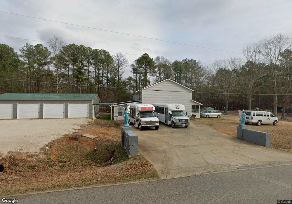
21 Fox Trail Athens, GA 30601
Estimated Value: $256,000 - $488,000
3
Beds
3
Baths
4,020
Sq Ft
$97/Sq Ft
Est. Value
About This Home
This home is located at 21 Fox Trail, Athens, GA 30601 and is currently estimated at $389,778, approximately $96 per square foot. 21 Fox Trail is a home located in Madison County with nearby schools including Madison County High School.
Ownership History
Date
Name
Owned For
Owner Type
Purchase Details
Closed on
Aug 18, 2004
Sold by
Barnett Sharon
Bought by
Barnett William A and Barnett Sharon Y
Current Estimated Value
Purchase Details
Closed on
Feb 16, 1998
Sold by
Barnett William A
Bought by
Barnett William A
Purchase Details
Closed on
Jun 5, 1997
Sold by
Barnett William A St
Bought by
Barnett William A
Create a Home Valuation Report for This Property
The Home Valuation Report is an in-depth analysis detailing your home's value as well as a comparison with similar homes in the area
Home Values in the Area
Average Home Value in this Area
Purchase History
| Date | Buyer | Sale Price | Title Company |
|---|---|---|---|
| Barnett William A | -- | -- | |
| Barnett Sharon | -- | -- | |
| Barnett William A | -- | -- | |
| Barnett William A | -- | -- |
Source: Public Records
Tax History Compared to Growth
Tax History
| Year | Tax Paid | Tax Assessment Tax Assessment Total Assessment is a certain percentage of the fair market value that is determined by local assessors to be the total taxable value of land and additions on the property. | Land | Improvement |
|---|---|---|---|---|
| 2024 | $3,953 | $151,884 | $10,598 | $141,286 |
| 2023 | $4,049 | $132,644 | $8,832 | $123,812 |
| 2022 | $3,231 | $117,144 | $6,073 | $111,071 |
| 2021 | $2,950 | $96,621 | $6,072 | $90,549 |
| 2020 | $2,676 | $87,052 | $4,718 | $82,334 |
| 2019 | $2,671 | $85,897 | $4,718 | $81,179 |
| 2018 | $2,640 | $84,639 | $4,316 | $80,323 |
| 2017 | $2,418 | $83,967 | $4,014 | $79,953 |
| 2016 | $2,214 | $77,138 | $3,649 | $73,489 |
| 2015 | $2,215 | $77,138 | $3,649 | $73,489 |
| 2014 | $2,237 | $77,420 | $3,665 | $73,755 |
| 2013 | -- | $77,420 | $3,665 | $73,755 |
Source: Public Records
Map
Nearby Homes
- 424 Belhaven Ln
- 8986 Highway 29 S
- 1176 Kimberly Cir
- 3080 Danielsville Rd
- 121 Sweetgum Way
- 149 Candlestick Dr
- 136 Wellington Dr
- 103 Three Rivers Ct
- 481 Bedford Dr
- 685 Bedford Dr
- 181 Bedford Dr
- 525 Virginia Ln
- 1045 Garnett Ward Rd Unit 4
- 1061 Garnett Ward Rd Unit 3
- 1067 Garnett Ward Rd Unit 2
- 1097 Garnett Ward Rd Unit 1
- 0 Woodland Creek Place Unit 10421130
- 838 Virginia Ln
- 0 Nowhere Ln Unit 10544151
- 185 Berry Dr
- 1155 Helican Springs Rd
- 1129 Helican Springs Rd
- 91 Fox Trail
- 58 Fox Trail
- 1070 Helican Springs Rd
- 109 Fox Trail
- 1053 Helican Springs Rd
- 00000 Howard Rd
- 205 Howard Rd
- 131 Fox Trail
- 225 Howard Rd
- 172 Fox Trail
- 157 Fox Trail
- 399 Helican Springs Rd
- 179 Fox Trail
- 206 Fox Trail
- 946 Helican Springs Rd
- 927 Helican Springs Rd
- 225 Fox Trail
- 289 Fox Trail Unit D
