21 Gary Rd Mattawamkeag, ME 04459
Estimated Value: $58,505 - $98,000
--
Bed
--
Bath
--
Sq Ft
10.5
Acres
About This Home
This home is located at 21 Gary Rd, Mattawamkeag, ME 04459 and is currently estimated at $78,253. 21 Gary Rd is a home with nearby schools including Ella P. Burr School, Mattanawcook Junior High School, and Mattanawcook Academy.
Ownership History
Date
Name
Owned For
Owner Type
Purchase Details
Closed on
Jun 30, 2014
Sold by
Frodahl Erik and Frodahl Melissa
Bought by
Maine Land Inc
Current Estimated Value
Purchase Details
Closed on
Oct 31, 2012
Sold by
Gary Frank R and Gary Christine E
Bought by
Frodahl Erik and Frodahl Melissa
Home Financials for this Owner
Home Financials are based on the most recent Mortgage that was taken out on this home.
Original Mortgage
$56,000
Interest Rate
3.5%
Mortgage Type
Commercial
Create a Home Valuation Report for This Property
The Home Valuation Report is an in-depth analysis detailing your home's value as well as a comparison with similar homes in the area
Home Values in the Area
Average Home Value in this Area
Purchase History
| Date | Buyer | Sale Price | Title Company |
|---|---|---|---|
| Maine Land Inc | -- | -- | |
| Frodahl Erik | -- | -- |
Source: Public Records
Mortgage History
| Date | Status | Borrower | Loan Amount |
|---|---|---|---|
| Previous Owner | Frodahl Erik | $56,000 |
Source: Public Records
Tax History Compared to Growth
Tax History
| Year | Tax Paid | Tax Assessment Tax Assessment Total Assessment is a certain percentage of the fair market value that is determined by local assessors to be the total taxable value of land and additions on the property. | Land | Improvement |
|---|---|---|---|---|
| 2024 | $335 | $23,450 | $20,990 | $2,460 |
| 2023 | $305 | $23,450 | $20,990 | $2,460 |
| 2021 | $789 | $43,580 | $16,300 | $27,280 |
| 2020 | $880 | $41,100 | $16,300 | $24,800 |
| 2019 | $744 | $41,100 | $16,300 | $24,800 |
| 2018 | $801 | $41,100 | $16,300 | $24,800 |
| 2017 | $814 | $41,100 | $16,300 | $24,800 |
| 2016 | $808 | $41,100 | $16,300 | $24,800 |
| 2015 | $822 | $41,100 | $16,300 | $24,800 |
| 2014 | $838 | $41,100 | $16,300 | $24,800 |
| 2013 | $838 | $41,100 | $16,300 | $24,800 |
Source: Public Records
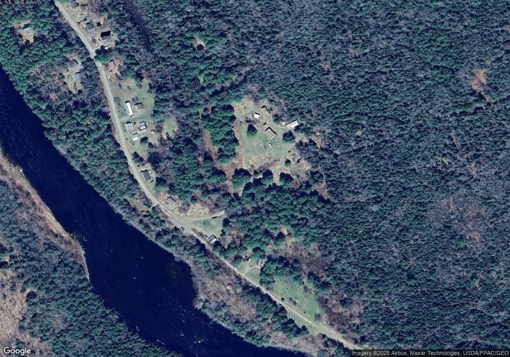
Map
Nearby Homes
- 387 & 377 Main St
- 39 Back Settlement Rd
- 970 Rt 2
- Lot 1C Medway Road Route 157 Rd
- 22 Winn Rd
- Map 16 Lot 3-2 3-4
- Lot 4-1 Butterfield Ridge Rd
- 593 N Chester Rd
- 1183 Woodville Rd
- 106 Old Military Rd
- 104 & 105 Cross St
- 794 Kingman Rd
- 1248 Kingman Rd
- 1060 Kingman Rd
- 95 Branch Rd
- 383 Bagley Mountain Rd
- TBD Woodville Rd
- M11L6 Woodville Rd
- 1295 Main St
- 1207 Main St
- 28 Gary Rd
- 376 River Rd
- 344 River Rd
- 340 River Rd
- 325 River Rd
- 330 River Rd
- 324 River Rd
- 316 River Rd
- 354 River Rd
- 364 River Rd
- 322 River Rd
- 38 Deerfield Bluff
- 25 Deerfield Bluff
- 268 River Rd
- TBD River Rd
- TBD Widlerness Park Campground Rd
- On Widlerness Park Campground Rd
- 7 Philbrook Ln
- 0 River Rd
- 24 Philbrook Ln