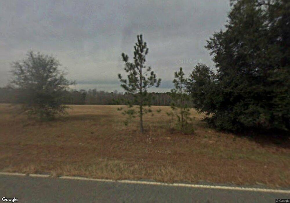
21 George L Smith State Park Rd Twin City, GA 30471
Estimated Value: $246,000 - $556,110
3
Beds
3
Baths
3,000
Sq Ft
$119/Sq Ft
Est. Value
About This Home
This home is located at 21 George L Smith State Park Rd, Twin City, GA 30471 and is currently estimated at $357,528, approximately $119 per square foot. 21 George L Smith State Park Rd is a home with nearby schools including Twin City Elementary School.
Ownership History
Date
Name
Owned For
Owner Type
Purchase Details
Closed on
Mar 24, 2016
Sold by
Metter Bank
Bought by
Newham Ronald D and Newham Linda R
Current Estimated Value
Purchase Details
Closed on
Mar 10, 2016
Sold by
Newham Ronald D
Bought by
Spinner Robert and Spinner Lori
Purchase Details
Closed on
May 16, 2013
Sold by
Hadden Simmons W
Bought by
Newham Ronald D and Newham Linda R
Purchase Details
Closed on
Aug 1, 2002
Sold by
Hadden Simmons Randy
Bought by
Hadden Simmons Walte
Create a Home Valuation Report for This Property
The Home Valuation Report is an in-depth analysis detailing your home's value as well as a comparison with similar homes in the area
Home Values in the Area
Average Home Value in this Area
Purchase History
| Date | Buyer | Sale Price | Title Company |
|---|---|---|---|
| Newham Ronald D | -- | -- | |
| Spinner Robert | $52,500 | -- | |
| Newham Ronald D | $48,000 | -- | |
| Hadden Simmons Walte | -- | -- |
Source: Public Records
Tax History Compared to Growth
Tax History
| Year | Tax Paid | Tax Assessment Tax Assessment Total Assessment is a certain percentage of the fair market value that is determined by local assessors to be the total taxable value of land and additions on the property. | Land | Improvement |
|---|---|---|---|---|
| 2024 | $4,146 | $162,334 | $15,590 | $146,744 |
| 2023 | $2,998 | $135,894 | $12,250 | $123,644 |
| 2022 | $3,066 | $125,506 | $12,250 | $113,256 |
| 2021 | $2,967 | $118,849 | $11,136 | $107,713 |
| 2020 | $3,201 | $129,972 | $20,106 | $109,866 |
| 2019 | $3,378 | $129,972 | $20,106 | $109,866 |
| 2018 | $2,614 | $90,855 | $20,107 | $70,748 |
| 2017 | $580 | $20,107 | $20,107 | $0 |
| 2016 | $522 | $18,096 | $18,096 | $0 |
| 2015 | -- | $18,096 | $18,096 | $0 |
| 2014 | -- | $18,096 | $18,096 | $0 |
| 2013 | -- | $18,096 | $18,096 | $0 |
Source: Public Records
Map
Nearby Homes
- 0 Scarboro Church Rd Unit 25066343
- 1120 5th Ave
- 912 5th Ave
- 211 6th Ave
- 317 5th Ave
- 519 Wilson Rd
- S S Old Reidsville Rd
- 3770 Hill Rd
- 760 Memphis Rd
- 0 S Old Reidsville Rd Unit 10556290
- 1176 Georgia 57
- 889 Ga Highway 192 N
- 56 Rock Creek Rd
- 0 Martin Rd Unit 23293548
- 615 Railroad Ave
- 743 Ann's Ln
- 527 Windmill Rd
- 211 S Railroad St
- 184 Eagle Pass
- 405 Monroe St
- 16 George L Smith State Park Rd
- 8 George L Smith State Park Rd
- 42 Dry Dock Rd
- 408 Railroad Ave
- 0 Gobbler Ln Unit 10303623
- 0 Gobbler Ln Unit 10297871
- 0 Highway 46 Unit 10293944
- 0 Highway 46 Unit 20164445
- 0 Hebron Rd Unit 9050793
- 00 Hawks Rd
- S Highway 23
- 0 Highway 46 Unit 20 8932384
- 0 Gobbler Ln Unit 63 8932380
- 0 Hebron Rd Unit 8759576
- 0 Gobbler Ln Unit 8602459
- 0 Highway 46 Unit 8492139
- 0 Jenkins Emanuel Line Unit 8484832
- 0 Hebron Rd Unit 8473472
- 0 Woodpecker Trail Unit 20072470
- 0 Woodpecker Trail Unit 8030170
