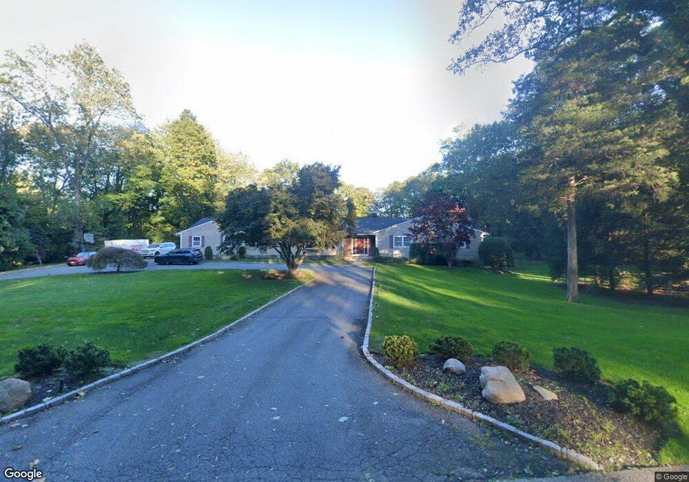
21 Glenby Ln Glen Head, NY 11545
Estimated Value: $1,878,000 - $2,018,995
5
Beds
5
Baths
3,046
Sq Ft
$640/Sq Ft
Est. Value
About This Home
This home is located at 21 Glenby Ln, Glen Head, NY 11545 and is currently estimated at $1,948,498, approximately $639 per square foot. 21 Glenby Ln is a home located in Nassau County with nearby schools including Locust Valley High School, Green Vale School, and Long Island Lutheran Middle & High School.
Ownership History
Date
Name
Owned For
Owner Type
Purchase Details
Closed on
Feb 15, 2018
Sold by
Scalchunes Diane and Scalchunes Peter
Bought by
Almonte Elizabeth
Current Estimated Value
Home Financials for this Owner
Home Financials are based on the most recent Mortgage that was taken out on this home.
Original Mortgage
$700,000
Outstanding Balance
$593,579
Interest Rate
4.04%
Mortgage Type
Purchase Money Mortgage
Estimated Equity
$1,354,919
Purchase Details
Closed on
Jan 2, 2004
Sold by
Ulich George
Bought by
Scalchunes Peter
Create a Home Valuation Report for This Property
The Home Valuation Report is an in-depth analysis detailing your home's value as well as a comparison with similar homes in the area
Home Values in the Area
Average Home Value in this Area
Purchase History
| Date | Buyer | Sale Price | Title Company |
|---|---|---|---|
| Almonte Elizabeth | $1,525,000 | -- | |
| Scalchunes Peter | $1,250,000 | -- |
Source: Public Records
Mortgage History
| Date | Status | Borrower | Loan Amount |
|---|---|---|---|
| Open | Almonte Elizabeth | $700,000 |
Source: Public Records
Tax History Compared to Growth
Tax History
| Year | Tax Paid | Tax Assessment Tax Assessment Total Assessment is a certain percentage of the fair market value that is determined by local assessors to be the total taxable value of land and additions on the property. | Land | Improvement |
|---|---|---|---|---|
| 2025 | $27,686 | $1,496 | $957 | $539 |
| 2024 | $3,986 | $1,496 | $957 | $539 |
| 2023 | $24,539 | $1,496 | $957 | $539 |
| 2022 | $24,539 | $1,496 | $957 | $539 |
| 2021 | $23,111 | $1,483 | $949 | $534 |
| 2020 | $21,776 | $1,805 | $1,804 | $1 |
| 2019 | $3,230 | $1,805 | $1,804 | $1 |
| 2018 | $14,405 | $1,805 | $0 | $0 |
| 2017 | $3,009 | $1,918 | $1,917 | $1 |
| 2016 | $3,743 | $2,031 | $1,855 | $176 |
| 2015 | $948 | $2,144 | $1,812 | $332 |
| 2014 | $948 | $2,144 | $1,812 | $332 |
| 2013 | $1,024 | $2,245 | $1,898 | $347 |
Source: Public Records
Map
Nearby Homes
- 63 Fruitledge Rd
- 8 Dogwood Hill
- 76 Brookville Rd
- 1985- 4 Cedar Swamp Rd
- 11 Victorian Ln
- 2177 Cedar Swamp Rd
- 14 Farmstead Ln
- 22 Brookville Rd
- 167 Brookville Rd
- 109 Wheatley Rd
- 5694 Northern Blvd
- 11 Evans Dr
- 1629 Cedar Swamp Rd
- 1622 Old Cedar Swamp Rd
- 2 Pen Mor Dr
- 5 Peacock Ln
- Lot A High Point Ct
- 12 Quaker Ridge Dr
- 2340 Cedar Swamp Rd
- 5 Carol Ln