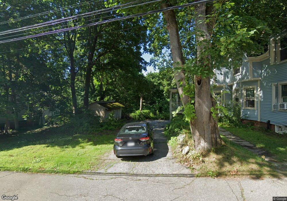
21 Harris St Auburn, ME 04210
Estimated Value: $335,000 - $397,000
6
Beds
2
Baths
2,671
Sq Ft
$135/Sq Ft
Est. Value
About This Home
This home is located at 21 Harris St, Auburn, ME 04210 and is currently estimated at $361,597, approximately $135 per square foot. 21 Harris St is a home located in Androscoggin County with nearby schools including Sherwood Heights Elementary School, Auburn Middle School, and Edward Little High School.
Ownership History
Date
Name
Owned For
Owner Type
Purchase Details
Closed on
Jul 18, 2018
Sold by
Gleason Wayne
Bought by
Burnaby Priscilla A
Current Estimated Value
Home Financials for this Owner
Home Financials are based on the most recent Mortgage that was taken out on this home.
Original Mortgage
$120,000
Outstanding Balance
$88,691
Interest Rate
4.5%
Mortgage Type
Unknown
Estimated Equity
$272,906
Purchase Details
Closed on
May 21, 2009
Sold by
Graham Rebecca A Est
Bought by
Gleason Wayne E
Home Financials for this Owner
Home Financials are based on the most recent Mortgage that was taken out on this home.
Original Mortgage
$69,000
Interest Rate
4.93%
Mortgage Type
Purchase Money Mortgage
Create a Home Valuation Report for This Property
The Home Valuation Report is an in-depth analysis detailing your home's value as well as a comparison with similar homes in the area
Home Values in the Area
Average Home Value in this Area
Purchase History
| Date | Buyer | Sale Price | Title Company |
|---|---|---|---|
| Burnaby Priscilla A | -- | -- | |
| Gleason Wayne E | -- | -- |
Source: Public Records
Mortgage History
| Date | Status | Borrower | Loan Amount |
|---|---|---|---|
| Open | Burnaby Priscilla A | $120,000 | |
| Closed | Gleason Wayne E | $69,000 |
Source: Public Records
Tax History Compared to Growth
Tax History
| Year | Tax Paid | Tax Assessment Tax Assessment Total Assessment is a certain percentage of the fair market value that is determined by local assessors to be the total taxable value of land and additions on the property. | Land | Improvement |
|---|---|---|---|---|
| 2024 | $4,911 | $220,700 | $35,300 | $185,400 |
| 2023 | $4,468 | $196,400 | $31,400 | $165,000 |
| 2022 | $3,726 | $163,800 | $26,200 | $137,600 |
| 2021 | $3,902 | $163,800 | $26,200 | $137,600 |
| 2020 | $3,795 | $159,800 | $26,200 | $133,600 |
| 2019 | $3,795 | $159,800 | $26,200 | $133,600 |
| 2018 | $3,784 | $159,800 | $26,200 | $133,600 |
| 2017 | $3,672 | $159,700 | $26,200 | $133,500 |
| 2016 | $3,569 | $159,700 | $26,200 | $133,500 |
| 2015 | $3,394 | $159,700 | $26,200 | $133,500 |
| 2013 | -- | $159,700 | $26,200 | $133,500 |
Source: Public Records
Map
Nearby Homes
- 20 Western Ave
- 17 Western Ave
- 325 Court St
- 454 Court St
- 17 Beacon Ave
- 121 Conant Ave
- 81 Highland Ave
- 35 Union St
- 9 Maple St
- 299 Minot Ave
- 72 Amberley Way
- 5 Sheridan Ave
- 154 Madison St
- 92 Main St
- 206 Fairview Ave
- 84 Summer St
- 21 Laurel Ave
- 1 Freedom Farm Rd Unit 2
- 1 Freedom Farm Rd Unit 1
- 38 Newbury St