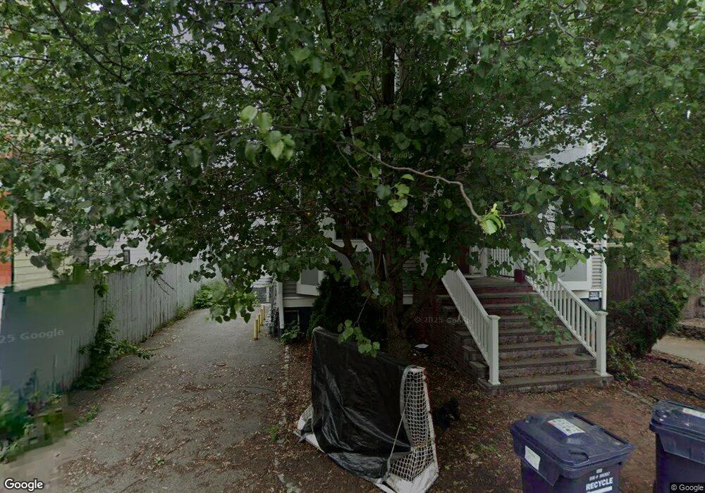
21 Harris St Unit 3 Somerville, MA 02143
Porter Square NeighborhoodEstimated Value: $774,513 - $906,000
2
Beds
2
Baths
950
Sq Ft
$884/Sq Ft
Est. Value
About This Home
This home is located at 21 Harris St Unit 3, Somerville, MA 02143 and is currently estimated at $839,628, approximately $883 per square foot. 21 Harris St Unit 3 is a home located in Middlesex County with nearby schools including Somerville High School, Saint Theresa School, and St Peter School.
Ownership History
Date
Name
Owned For
Owner Type
Purchase Details
Closed on
Aug 15, 2011
Sold by
Faulk Kathy A and Faulk Rick H
Bought by
Yu Liangli and Hao Junjie
Current Estimated Value
Purchase Details
Closed on
Mar 10, 2011
Sold by
Faulk Kathy A and Faulk Rick H
Bought by
Faulk Kathy A and Faulk Rick H
Home Financials for this Owner
Home Financials are based on the most recent Mortgage that was taken out on this home.
Original Mortgage
$237,000
Interest Rate
5%
Mortgage Type
Purchase Money Mortgage
Create a Home Valuation Report for This Property
The Home Valuation Report is an in-depth analysis detailing your home's value as well as a comparison with similar homes in the area
Home Values in the Area
Average Home Value in this Area
Purchase History
| Date | Buyer | Sale Price | Title Company |
|---|---|---|---|
| Yu Liangli | $430,000 | -- | |
| Faulk Kathy A | -- | -- |
Source: Public Records
Mortgage History
| Date | Status | Borrower | Loan Amount |
|---|---|---|---|
| Previous Owner | Faulk Kathy A | $237,000 |
Source: Public Records
Tax History Compared to Growth
Tax History
| Year | Tax Paid | Tax Assessment Tax Assessment Total Assessment is a certain percentage of the fair market value that is determined by local assessors to be the total taxable value of land and additions on the property. | Land | Improvement |
|---|---|---|---|---|
| 2025 | $7,330 | $671,900 | $0 | $671,900 |
| 2024 | $6,886 | $654,600 | $0 | $654,600 |
| 2023 | $6,769 | $654,600 | $0 | $654,600 |
| 2022 | $6,556 | $644,000 | $0 | $644,000 |
| 2021 | $6,431 | $631,100 | $0 | $631,100 |
| 2020 | $6,309 | $625,300 | $0 | $625,300 |
| 2019 | $5,691 | $528,900 | $0 | $528,900 |
| 2018 | $5,922 | $523,600 | $0 | $523,600 |
| 2017 | $6,134 | $525,600 | $0 | $525,600 |
| 2016 | $5,736 | $457,800 | $0 | $457,800 |
| 2015 | $5,561 | $441,000 | $0 | $441,000 |
Source: Public Records
Map
Nearby Homes
- 8 Craigie St
- 22 Lowell St Unit 3
- 15-15A Forest St
- 35 Ibbetson St
- 749 Somerville Ave Unit 1
- 74 Oxford St
- 74 Oxford St Unit 3
- 72 Oxford St Unit 72
- 72 Oxford St
- 55 Museum St
- 55 Museum St Unit 55
- 18 Spring St Unit 18A
- 42 Belmont St
- 37 Mellen St
- 35 Mellen St
- 31-33 Mellen St
- 85 Lowell St
- 13 Mellen St Unit Front
- 555 Somerville Ave Unit 3
- 3 Arlington St Unit 52
- 21 Harris St Unit 2
- 21 Harris St Unit 1
- 316 Beacon St Unit 3
- 316 Beacon St Unit 2
- 316 Beacon St Unit 1
- 19 Harris St Unit 3
- 19 Harris St Unit 2
- 19 Harris St Unit 1
- 316 Beacon St Unit 8
- 312 Beacon St Unit 2
- 312 Beacon St Unit 1
- 312 Beacon St Unit R
- 15 Harris St Unit 3
- 15 Harris St
- 21 Harris St Unit 3
- 19 Harris St Unit 1
- 19 Harris St
- 314 Beacon St Unit 4
- 314 Beacon St Unit 3
- 314 Beacon St Unit 2