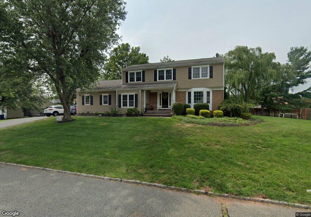
21 Harvest Dr Hillsborough, NJ 08844
Estimated Value: $790,440 - $904,000
--
Bed
--
Bath
2,545
Sq Ft
$330/Sq Ft
Est. Value
About This Home
This home is located at 21 Harvest Dr, Hillsborough, NJ 08844 and is currently estimated at $840,860, approximately $330 per square foot. 21 Harvest Dr is a home located in Somerset County with nearby schools including Hillsborough High School, Central Jersey College Prep Charter School, and Brighthorizons at Hillsborough.
Ownership History
Date
Name
Owned For
Owner Type
Purchase Details
Closed on
Aug 8, 2025
Sold by
Okane Michael Joseph and Okane Mary Lyn
Bought by
Okane Michael Joseph
Current Estimated Value
Purchase Details
Closed on
Mar 20, 2001
Sold by
Silverstein Jay
Bought by
O'Kane Michael and O'Kane Mary
Home Financials for this Owner
Home Financials are based on the most recent Mortgage that was taken out on this home.
Original Mortgage
$255,600
Interest Rate
6.96%
Create a Home Valuation Report for This Property
The Home Valuation Report is an in-depth analysis detailing your home's value as well as a comparison with similar homes in the area
Home Values in the Area
Average Home Value in this Area
Purchase History
| Date | Buyer | Sale Price | Title Company |
|---|---|---|---|
| Okane Michael Joseph | -- | None Listed On Document | |
| O'Kane Michael | $319,500 | -- |
Source: Public Records
Mortgage History
| Date | Status | Borrower | Loan Amount |
|---|---|---|---|
| Previous Owner | O'Kane Michael | $255,600 |
Source: Public Records
Tax History Compared to Growth
Tax History
| Year | Tax Paid | Tax Assessment Tax Assessment Total Assessment is a certain percentage of the fair market value that is determined by local assessors to be the total taxable value of land and additions on the property. | Land | Improvement |
|---|---|---|---|---|
| 2025 | $14,020 | $704,800 | $322,400 | $382,400 |
| 2024 | $14,020 | $654,200 | $307,400 | $346,800 |
| 2023 | $12,985 | $603,100 | $307,400 | $295,700 |
| 2022 | $12,788 | $572,700 | $307,400 | $265,300 |
| 2021 | $11,933 | $508,200 | $242,400 | $265,800 |
| 2020 | $12,032 | $504,700 | $237,400 | $267,300 |
| 2019 | $11,688 | $486,200 | $217,400 | $268,800 |
| 2018 | $11,435 | $472,700 | $202,400 | $270,300 |
| 2017 | $11,244 | $465,600 | $192,400 | $273,200 |
| 2016 | $11,037 | $457,200 | $182,400 | $274,800 |
| 2015 | $10,697 | $448,700 | $172,400 | $276,300 |
| 2014 | $9,943 | $426,000 | $162,400 | $263,600 |
Source: Public Records
Map
Nearby Homes
- 17 Old Somerville Rd
- 351 Doctors Way
- 213 Brookside Ln
- 18 Deanna Dr Unit 37
- 524 Andria Ave Unit 225
- 528 Andria Ave Unit 253
- 528 Andria Ave Unit 255
- 2301 Trafalgar Square
- 3301 Astor Close
- 180 Wildflower Ln
- 3203 Astor Close
- 812-822 U S Highway 206
- 614 Robin Rd
- 23 Cranbrook Ave
- 12 Cranbrook Ave
- 6 Crestwood Ave
- 42 Falcon Rd
- 920 Robin Rd
- 204 Merry Ln
- 9 Woods Rd
- 78 Royce Brook Rd
- 17 Harvest Dr
- 88 Royce Brook Rd
- 20 Harvest Dr
- 74 Royce Brook Rd
- 79 Royce Brook Rd
- 87 Royce Brook Rd
- 13 Harvest Dr
- 16 Harvest Dr
- 83 Royce Brook Rd
- 8 Voorhees Cir
- 91 Royce Brook Rd
- 94 Royce Brook Rd
- 70 Royce Brook Rd
- 9 Shady Brook Ct
- 11 Voorhees Cir
- 9 Harvest Dr
- 95 Royce Brook Rd
- 4 Shady Brook Ct
- 3 N View Dr