21 Hatfield Ln Newark, OH 43055
Estimated Value: $237,000 - $367,000
4
Beds
2
Baths
1,904
Sq Ft
$167/Sq Ft
Est. Value
About This Home
This home is located at 21 Hatfield Ln, Newark, OH 43055 and is currently estimated at $318,101, approximately $167 per square foot. 21 Hatfield Ln is a home located in Licking County with nearby schools including Utica High School.
Ownership History
Date
Name
Owned For
Owner Type
Purchase Details
Closed on
Sep 17, 2012
Sold by
Hatfield Donald L and Hatfield Paula
Bought by
Hatfield Donald L and Hatfield Paula
Current Estimated Value
Purchase Details
Closed on
Oct 24, 2007
Sold by
Lange William E and Lange Beverly B
Bought by
Hatfield Donald L and Hatfield Paula
Home Financials for this Owner
Home Financials are based on the most recent Mortgage that was taken out on this home.
Original Mortgage
$163,800
Interest Rate
6.33%
Mortgage Type
Unknown
Create a Home Valuation Report for This Property
The Home Valuation Report is an in-depth analysis detailing your home's value as well as a comparison with similar homes in the area
Home Values in the Area
Average Home Value in this Area
Purchase History
| Date | Buyer | Sale Price | Title Company |
|---|---|---|---|
| Hatfield Donald L | -- | None Available | |
| Hatfield Donald L | -- | None Available | |
| Hatfield Donald L | $182,000 | Attorney |
Source: Public Records
Mortgage History
| Date | Status | Borrower | Loan Amount |
|---|---|---|---|
| Closed | Hatfield Donald L | $163,800 |
Source: Public Records
Tax History Compared to Growth
Tax History
| Year | Tax Paid | Tax Assessment Tax Assessment Total Assessment is a certain percentage of the fair market value that is determined by local assessors to be the total taxable value of land and additions on the property. | Land | Improvement |
|---|---|---|---|---|
| 2024 | $2,425 | $67,410 | $15,750 | $51,660 |
| 2023 | $2,429 | $67,410 | $15,750 | $51,660 |
| 2022 | $2,338 | $58,770 | $9,840 | $48,930 |
| 2021 | $2,388 | $58,770 | $9,840 | $48,930 |
| 2020 | $2,260 | $58,770 | $9,840 | $48,930 |
| 2019 | $1,870 | $45,510 | $7,880 | $37,630 |
| 2018 | $1,879 | $0 | $0 | $0 |
| 2017 | $1,923 | $0 | $0 | $0 |
| 2016 | $2,037 | $0 | $0 | $0 |
| 2015 | $2,018 | $0 | $0 | $0 |
| 2014 | $2,690 | $0 | $0 | $0 |
| 2013 | $1,988 | $0 | $0 | $0 |
Source: Public Records
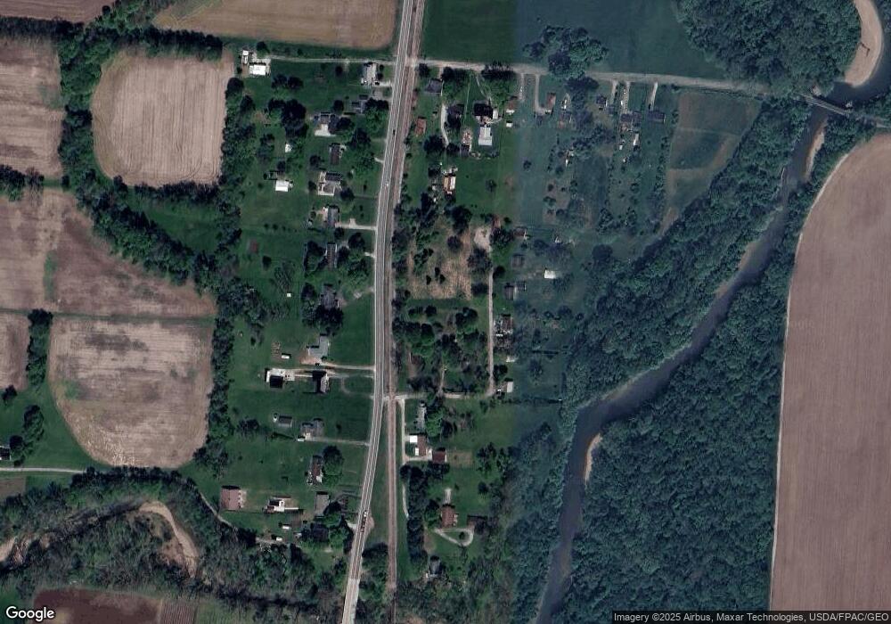
Map
Nearby Homes
- Mt Vernon Rd Unit LotWP001
- 2034 Dumont St Unit 81
- 2026 Freehold St
- 2012 Edison St
- 65 Sunset Dr
- 1952 Jamesburg St
- 1968 High Bridge St
- 1981 Iselin St
- 1989 Iselin St
- 1993 Iselin St
- 1977 Iselin St
- 1973 Iselin St
- 152 Lincoln Dr
- 1948 Jamesburg St
- 1954 Iselin St
- 2133 Ava Ln
- 2128 Ava Ln
- 66 N Vernon Ave
- 333 S Heather Dr
- 217 N Vernon Ave
- 21 Williams Rd
- 42 Hatfield Ln
- 42 Williams Rd
- 2746 Mount Vernon Rd
- 62 Hatfield Ln
- 2736 Mount Vernon Rd
- 72 Hatfield Ln
- 82 Hatfield Ln
- 2767 Mount Vernon Rd
- 2787 Mount Vernon Rd
- 2739 Mount Vernon Rd
- 2755 Mount Vernon Rd
- 2716 Mount Vernon Rd
- 2797 Mount Vernon Rd
- 2725 Mount Vernon Rd
- 2703 Mount Vernon Rd
- 2817 Mount Vernon Rd
- 2696 Mount Vernon Rd
- 2827 Mount Vernon Rd
- 6040 Snyder Rd