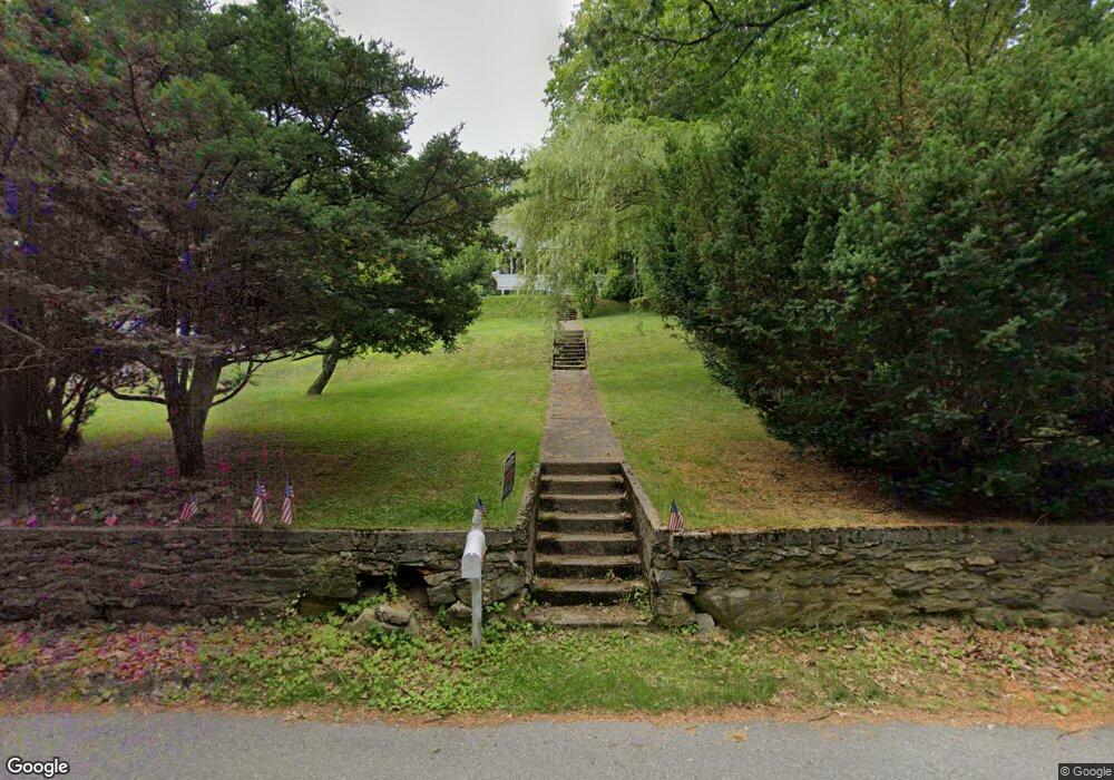
21 High St North Grafton, MA 01536
Estimated Value: $487,000 - $527,000
4
Beds
2
Baths
1,870
Sq Ft
$271/Sq Ft
Est. Value
About This Home
This home is located at 21 High St, North Grafton, MA 01536 and is currently estimated at $506,214, approximately $270 per square foot. 21 High St is a home located in Worcester County with nearby schools including Grafton High School, Silver Spruce Montessori School, and Al-Hamra Academy.
Ownership History
Date
Name
Owned For
Owner Type
Purchase Details
Closed on
Aug 29, 2013
Sold by
Robbins Ethan F and Shugarman Emily A
Bought by
Robbins Ethan F and Shugarman Emily A
Current Estimated Value
Purchase Details
Closed on
Mar 31, 2006
Sold by
Convery Deborah M and Convery Kevin P
Bought by
Shugarman Emily A and Robbins Ethan F
Home Financials for this Owner
Home Financials are based on the most recent Mortgage that was taken out on this home.
Original Mortgage
$256,800
Interest Rate
6.32%
Mortgage Type
Purchase Money Mortgage
Purchase Details
Closed on
Jan 24, 2000
Sold by
Harrison John J and Harrison Gayle A
Bought by
Convery Kevin P and Convery Deborah M
Create a Home Valuation Report for This Property
The Home Valuation Report is an in-depth analysis detailing your home's value as well as a comparison with similar homes in the area
Home Values in the Area
Average Home Value in this Area
Purchase History
| Date | Buyer | Sale Price | Title Company |
|---|---|---|---|
| Robbins Ethan F | -- | -- | |
| Robbins Ethan F | -- | -- | |
| Robbins Ethan F | -- | -- | |
| Shugarman Emily A | $321,000 | -- | |
| Shugarman Emily A | $321,000 | -- | |
| Shugarman Emily A | $321,000 | -- | |
| Convery Kevin P | $192,000 | -- | |
| Convery Kevin P | $192,000 | -- |
Source: Public Records
Mortgage History
| Date | Status | Borrower | Loan Amount |
|---|---|---|---|
| Previous Owner | Convery Kevin P | $245,000 | |
| Previous Owner | Convery Kevin P | $248,000 | |
| Previous Owner | Shugarman Emily A | $256,800 |
Source: Public Records
Tax History Compared to Growth
Tax History
| Year | Tax Paid | Tax Assessment Tax Assessment Total Assessment is a certain percentage of the fair market value that is determined by local assessors to be the total taxable value of land and additions on the property. | Land | Improvement |
|---|---|---|---|---|
| 2025 | $5,703 | $409,100 | $129,600 | $279,500 |
| 2024 | $5,577 | $389,700 | $123,500 | $266,200 |
| 2023 | $5,225 | $332,600 | $123,500 | $209,100 |
| 2022 | $5,290 | $313,400 | $106,000 | $207,400 |
| 2021 | $5,133 | $298,800 | $96,300 | $202,500 |
| 2020 | $4,897 | $296,800 | $96,300 | $200,500 |
| 2019 | $4,890 | $293,500 | $110,900 | $182,600 |
| 2018 | $4,644 | $279,900 | $109,300 | $170,600 |
| 2017 | $4,241 | $258,600 | $80,000 | $178,600 |
| 2016 | $4,373 | $261,100 | $101,500 | $159,600 |
| 2015 | $4,338 | $262,900 | $101,500 | $161,400 |
| 2014 | $3,882 | $254,400 | $101,500 | $152,900 |
Source: Public Records
Map
Nearby Homes
- 17 Hingham Rd
- 11 Hovey Pond Dr Unit 11
- 7 Hovey Pond Dr Unit 7
- 194 Worcester St
- 22 Beverly Rd
- 4 Westboro Rd
- 14 Northgate Ct Unit 14
- 0 East St
- 30 Falmouth Dr
- 15 Windle Ave
- 4 Winslow Ln Unit 1410
- 44 Meadow Ln
- 3 Abby Rd
- 2 Winslow Ln Unit 2302
- 2 Winslow Ln Unit 406
- 51 Cortland Grove Dr Unit 51
- Ivywood Plan at Winslow Point - The Building 1 Series
- Hayden Plan at Winslow Point - The Building 1 Series
- 34 Clews St
- 1 Purinton St